Toggle navigation
LMEC Home
Exhibitions
Georeferencing
Tools for Teachers
Collections
My Favorites
Sign Up / Log In
Search
Search the map portal
Map Collection
Map Collection
Map Sets
Search
Search
Search for
Search In
All Fields
Creator
Title
Subject
Place
Search All Digital Collections
Advanced Search
83 Results
My Search
Start Over
1928
Remove constraint 1928
Filter your Search
Place
North and Central America
67
United States
59
Massachusetts
13
Asia
10
Boston
9
New York
9
Suffolk (county)
9
Canada
8
more
Place
»
Topic
Fire risk assessment
8
Insurance surveys
8
Boston (Mass.)--Maps
6
Tokyo (Japan)--Maps
5
Textile factories
4
Cotton manufacture
3
Landowners--Massachusetts--Boston--Maps
3
United States--Maps
3
more
Topic
»
Date
Date range begin
–
Date range end
Current results range from
1830
to
1948
View distribution
Creator
Cram, George Franklin, 1841-1928
24
Associated Factory Mutual Fire Insurance Companies
4
Geological Survey (U.S.)
4
United States. Forest Service
4
White, James, 1863-1928
4
Associated Mutual Insurance Companies
3
Mehurin, E. L.
3
American Geographical Society of New York
2
more
Creator
»
Format
Maps/Atlases
83
Georeferenced
Yes
3
No
80
Collection
Norman B. Leventhal Map & Education Center Collection
60
Robert E. Diefenbach Map Collection at Phillips Academy
11
American Textile History Museum Image Collection
8
Boston and New England Maps
8
Urban Maps
8
Ralph Finos Map Collection at Phillips Academy
2
Mapping Boston Collection
1
Massachusetts Real Estate Atlases
1
more
Collection
»
Available to use
No known restrictions
73
Creative Commons license
1
Search Constraints
Sort by relevance
relevance
title
date (asc)
date (desc)
Number of results to display per page
20 per page
10
per page
20
per page
50
per page
100
per page
View results as:
grid view
map view
Search Results
61.
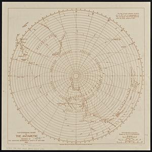
Navigational chart of the Antarctic
62.
New Haven
63.
The new map of the world
64.
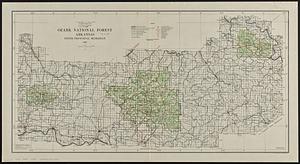
Ozark National Forest, Arkansas
65.
Pend Oreille National Forest, Idaho
66.
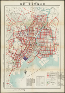
Reconstruction work in Tokyo
67.
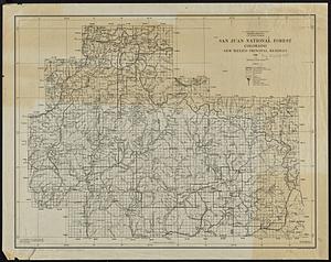
San Juan National Forest, Colorado
68.
Santa Barbara National Forest, California (Monterey Division)
69.
Saskatchewan : map showing disposition of lands
70.
Shawmut 1630--Boston 1930 : three hundred years of progress
71.
Shawmut 1630--Boston 1930 : three hundred years of progress
72.
Showing rental values in greater Tokyo - 1926
73.
Street plan of greater Tokyo - decided 1927
74.
Topographic & detail sheets of Rainy Lake & upper boundary waters
75.
Watershed of the Lake of the Woods
76.
Zoning map of town-planning area of Tokyo - 1925
77.
Ireland
78.
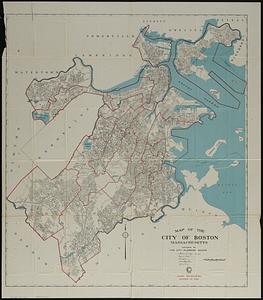
Map of the city of Boston Massachusetts
79.
Atlas of the city of Boston : Boston proper and Back Bay
80.
Atlas of the city of Boston : Boston proper and Back Bay : from actual surveys and official plans
‹ Prev
Next ›
1
2
3
4
5