Toggle navigation
LMEC Home
Exhibitions
Georeferencing
Tools for Teachers
Collections
My Favorites
Sign Up / Log In
Search
Search the map portal
Map Collection
Map Collection
Map Sets
Search
Search
Search for
Search In
All Fields
Creator
Title
Subject
Place
Search All Digital Collections
Advanced Search
77 Results
My Search
Start Over
1905
Remove constraint 1905
Filter your Search
Place
North and Central America
53
United States
48
Massachusetts
19
Asia
9
Essex (county)
7
Boston
5
Suffolk (county)
5
Canada
4
more
Place
»
Topic
Lynn (Mass.)--Maps
3
Southern States--Maps
3
United States--Maps
3
West Roxbury (Boston, Mass.)--Maps
3
Boston (Mass.)--Maps
2
East Asia--Maps
2
Indian reservations--United States--Maps
2
Indians of North America--Land tenure--Maps
2
more
Topic
»
Date
Date range begin
–
Date range end
Current results range from
1837
to
1941
View distribution
Creator
Geo. H. Walker & Co.
5
United States. Hydrographic Office
5
Noetzel, G. (Gregor)
3
Aguirre, A. A. (Antonio A.)
2
Bromley, George Washington
2
Bromley, Walter Scott
2
Fisk, E. F.
2
Geo. H. Walker & Co
2
more
Creator
»
Format
Maps/Atlases
76
Objects/Artifacts
2
Prints
1
Georeferenced
Yes
7
No
70
Collection
Norman B. Leventhal Map & Education Center Collection
73
Boston and New England Maps
11
Urban Maps
7
Maritime Charts and Atlases
5
Massachusetts Real Estate Atlases
3
Town plans, 1830
1
Available to use
No known restrictions
74
Search Constraints
Sort by relevance
relevance
title
date (asc)
date (desc)
Number of results to display per page
20 per page
10
per page
20
per page
50
per page
100
per page
View results as:
grid view
map view
Search Results
61.
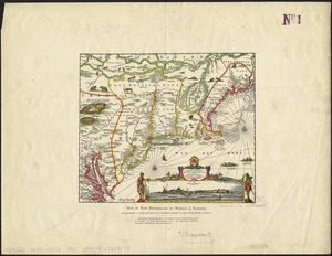
Novi Belgii Novaeque Angliae nec non partis Virginiae tabula
62.
Sunapee Lake, New Hampshire
63.
Trolley pathfinder birds eye map of interurban trolley lines in New England
64.
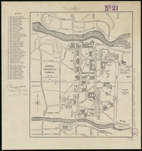
Cornell University campus
65.
Atlas of the city of Boston : volume 6, West Roxbury
66.
Atlas of the city of Boston : volume 6 : West Roxbury : from actual surveys and official plans
67.
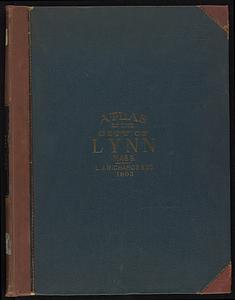
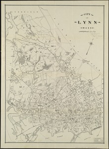
Atlas of the City of Lynn, Massachusetts, including also, the towns of Swampscott and Saugus
68.
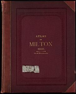
Atlas of the town of Milton, Norfolk County, Massachusetts
69.
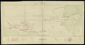
Map fourth division railway mail service
70.
Map third division railway mail service
71.
Plan and sections Wine Harbour gold district, Guysborough Co., Nova Scotia
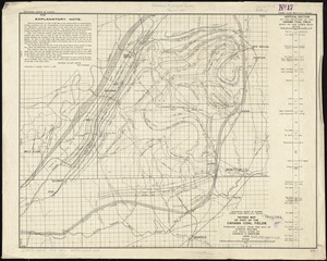
72.
Revised map of part of the Cahaba coal fields
73.
City of Lynn, Mass
74.
Map of Maine for the Maine register
75.
Guide map of Boston
76.
Trolley wayfinder, birds eye view of trolley routes in New England
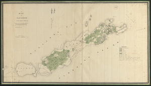
77.
Plan of Elizabeth Islands (Naushon, Pasque, and the Wepeckalt Islands) made by Henry H. Crapo, dated 1837
‹ Prev
Next ›
1
2
3
4