Toggle navigation
LMEC Home
Exhibitions
Georeferencing
Tools for Teachers
Collections
My Favorites
Sign Up / Log In
Search
Search the map portal
Map Collection
Map Collection
Map Sets
Search
Search
Search for
Search In
All Fields
Creator
Title
Subject
Place
Search All Digital Collections
Advanced Search
13680 Results
My Search
Start Over
Filter your Search
Place
North and Central America
10,344
United States
8,475
Massachusetts
2,789
Suffolk (county)
1,677
Boston
1,633
Europe
1,415
Canada
950
New York
649
more
Place
»
Topic
Boston (Mass.)--Maps
747
City planning--Massachusetts--Boston--Maps
418
United States--History--Revolution, 1775-1783--Maps
329
United States--Maps
322
Real property--Massachusetts--Boston--Maps
254
Urban renewal--Massachusetts--Boston--Maps
254
Massachusetts--Maps
231
Insurance surveys
197
more
Topic
»
Date
Date range begin
–
Date range end
Current results range from
1482
to
2023
View distribution
Creator
United States. Hydrographic Office
597
Boston Redevelopment Authority
404
Des Barres, Joseph F. W. (Joseph Frederick Wallet), 1722-1824
247
Royal United Services Institute for Defence and Security Studies
160
Jefferys, Thomas, -1771
154
George, III, King of Great Britain, 1738-1820
152
George, IV, King of Great Britain, 1762-1830
151
O.H. Bailey & Co
148
more
Creator
»
Format
Maps/Atlases
13,499
Manuscripts
985
Prints
102
Books
49
Drawings/Illustrations
44
Photographs
15
Objects/Artifacts
13
Documents
7
more
Format
»
Georeferenced
Yes
979
No
12,701
Collection
Norman B. Leventhal Map & Education Center Collection
9,096
American Revolutionary War-Era Maps
3,305
Boston and New England Maps
2,915
Urban Maps
2,471
Maritime Charts and Atlases
1,169
William L. Clements Library Collection
910
Library of Congress Collection
618
Boston Redevelopment Authority Collection
475
more
Collection
»
Available to use
No known restrictions
10,246
Creative Commons license
1,678
Search Constraints
Sort by relevance
relevance
title
date (asc)
date (desc)
Number of results to display per page
20 per page
10
per page
20
per page
50
per page
100
per page
View results as:
grid view
map view
Search Results
7881.
Oil and gas fields of the state of Texas
7882.
The oil and gas journal, August 29, 1935
7883.
Oil and gas producing areas in Oklahoma
7884.
Oil City oil field, Fresno Co., California
7885.
Oil in America : a pictorial story of the petroleum industry in the United States
7886.
Old Boston, compiled from the Book of possessions
7887.
Old Colony & Newport railway and its connections
7888.
Old Colony Railroad and connections
7889.
Old Colony Silk Mills Corporation "Potter Street Plant," (Silk Throwing), New Bedford, Mass. [insurance map]
7890.
Old Colony Storage & Warehouse Co., Inc., Fall River, Mass. [insurance map]
7891.
Old map of Brooklyn and greater part of King's County, Long Island
7892.
Ye olde towne of Rumford : (Concord, N.H.)
7893.
Olde York County Maine : published in commemoration of the 300th anniversary
7894.
Olissippo quae nunc Lisboa ciuitas amplissima Lusi taniae, ad Tagum, toti Orientis, et multarum insularum Aphricaeque et...
7895.
Olmsted Park master plan
7896.
One way streets, metered block faces, parking restriction areas and signal locations within the Boston regional core
7897.
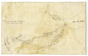
Oneida Lake to the Mohawk River
7898.
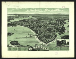
Onset Bay Grove, Wareham, Mass
7899.
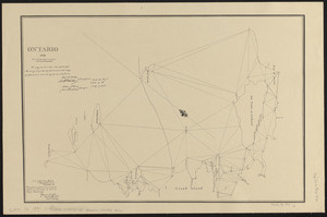
Ontario 1819
7900.
Open space 2017
‹ Prev
Next ›
1
2
…
391
392
393
394
395
396
397
398
399
…
683
684


![Old Colony Silk Mills Corporation "Potter Street Plant," (Silk Throwing), New Bedford, Mass. [insurance map]](https://bpldcassets.blob.core.windows.net/derivatives/images/commonwealth:ww72bz82p/image_thumbnail_300.jpg)
![Old Colony Storage & Warehouse Co., Inc., Fall River, Mass. [insurance map]](https://bpldcassets.blob.core.windows.net/derivatives/images/commonwealth:ww72bx442/image_thumbnail_300.jpg)