Search Constraints
Search Results
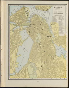
721. Boston
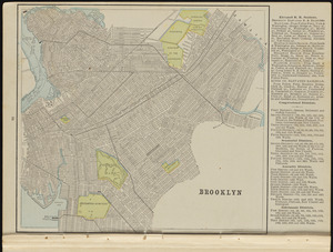
722. Brooklyn

724. Connecticut


726. Kentuckey

727. Louisiana

729. Massachusetts


732. New Jersey

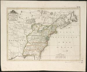
733. New York

734. North Carolina

735. Pennsylvania

736. Province of Maine


