Toggle navigation
LMEC Home
Exhibitions
Georeferencing
Tools for Teachers
Collections
My Favorites
Sign Up / Log In
Search
Search the map portal
Map Collection
Map Collection
Map Sets
Search
Search
Search for
Search In
All Fields
Creator
Title
Subject
Place
Search All Digital Collections
Advanced Search
69 Results
My Search
Start Over
Date
1909
Remove constraint Date: <span class='single'>1909</span>
Filter your Search
Place
North and Central America
59
United States
52
Massachusetts
23
Boston
14
Suffolk (county)
14
Europe
5
Mexico
5
New England
5
more
Place
»
Topic
Boston (Mass.)--Maps
6
Immigrants--Massachusetts--Boston
3
Massachusetts--Maps
3
New England--Maps--Early works to 1800--Facsimiles
3
Real property--Massachusetts--Boston--Maps
3
Braintree (Mass.)--Maps
2
Brighton (Boston, Mass.)--Maps
2
Chiapas (Mexico)--Maps
2
more
Topic
»
Date
1909
[remove]
69
Date range begin
–
Date range end
Current results range from
1770
to
1999
1909
to
1909
69
Creator
Walker Lith. & Pub. Co
6
Walker Lith. & Pub. Co.
5
Fisk, E. F.
4
Blanchard, Rufus, 1821-1904
2
Bromley, George Washington
2
Bromley, Walter Scott
2
Geological Survey of Canada
2
International Correspondence Schools
2
more
Creator
»
Format
Maps/Atlases
65
Photographs
3
Prints
2
Georeferenced
Yes
9
No
60
Collection
Norman B. Leventhal Map & Education Center Collection
59
Boston and New England Maps
6
Urban Maps
6
Massachusetts Real Estate Atlases
5
Robert E. Diefenbach Map Collection at Phillips Academy
3
Mapping Boston Collection
2
American Revolutionary War-Era Maps
1
American Textile History Museum Image Collection
1
more
Collection
»
Available to use
No known restrictions
60
Creative Commons license
2
Search Constraints
Sort by relevance
relevance
title
date (asc)
date (desc)
Number of results to display per page
20 per page
10
per page
20
per page
50
per page
100
per page
View results as:
grid view
map view
Search Results
41.
A mapp of New England
42.
Maps illustrating cruises of John Paul Jones in British waters : [Great Britain and Ireland]
43.
Massachusetts : eastern part, no.11
44.
Methuen Co. (Cotton Mill), Methuen, Mass.
45.
Minerals
46.
New York (western section)
47.
Paris
48.
Path map of the eastern part of Mount Desert Island, Maine
49.
Plan and section, Salmon River gold district, Halifax Co., N.S
50.
Plan and sections, Caribou gold district, Halifax Co., N.S
51.
Plan of corner of Centry & Beacon St's -- 1741
52.
Plan of the Arnold Arboretum Jamaica Plain Mass
53.
Plan of the burnt district : showing proposed improvements in streets. Nov. 12th 1872
54.
Plan of the town of Boston
55.
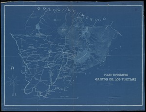
Plano topografico del canton de Los Tuxtlas
56.
Reading, Middlesex County, Massachusetts
57.
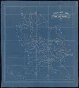
República Mexicana, Territorio de Tepic
58.
Samuel Thaxter & Son, manufacturers and importers of nautical and optical instruments, charts and nautical books; publishers of...
59.
A small map of the sea coast of New England together with the outlines of several of the provinces lying thereon, 1738
60.
The south part of New-England, as it is planted this yeare, 1635
‹ Prev
Next ›
1
2
3
4