Toggle navigation
LMEC Home
Exhibitions
Georeferencing
Tools for Teachers
Collections
My Favorites
Sign Up / Log In
Search
Search the map portal
Map Collection
Map Collection
Map Sets
Search
Search
Search for
Search In
All Fields
Creator
Title
Subject
Place
Search All Digital Collections
Advanced Search
85 Results
My Search
Start Over
Date
1906
Remove constraint Date: <span class='single'>1906</span>
Filter your Search
Place
North and Central America
63
United States
54
Massachusetts
21
Suffolk (county)
12
Boston
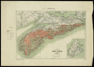
11
Africa
7
Canada
7
Morocco
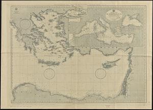
7
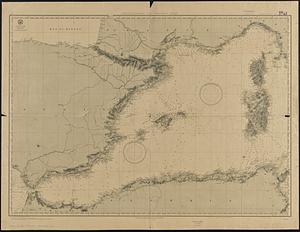
more
Place
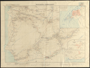
»
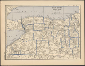
Topic
Boston (Mass.)--Maps
6
Gold mines and mining--Nova Scotia--Maps
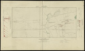
5
Massachusetts--Maps
4
United States--Maps
4
Fire risk assessment
3
Geology--Nova Scotia--Halifax (County)--Maps
3
Halifax (N.S. : County)--Maps
3
Insurance surveys
3
more
Topic
»
Date
1906
[remove]
85
Date range begin
–
Date range end
Current results range from
1770
to
1999
1906
to
1906
85
Creator
Barrère, Henry
7
Larras, N.
7
Geological Survey of Canada
5
Geo. H. Walker & Co
4
Fisk, E. F.
3
L.J. Richards & Co.
3
Walker Lith. & Pub. Co
3
Associated Mutual Insurance Companies
2
more
Creator
»
Format
Maps/Atlases
83
Photographs
1
Prints
1
Georeferenced
Yes
12
No
73
Collection
Norman B. Leventhal Map & Education Center Collection
74
Boston and New England Maps
8
Urban Maps
7
Massachusetts Real Estate Atlases
4
American Textile History Museum Image Collection
3
Robert E. Diefenbach Map Collection at Phillips Academy
3
Mapping Boston Collection
2
Maritime Charts and Atlases
2
more
Collection
»
Available to use
No known restrictions
75
Creative Commons license
2
Search Constraints
Sort by relevance
relevance
title
date (asc)
date (desc)
Number of results to display per page
20 per page
10
per page
20
per page
50
per page
100
per page
View results as:
grid view
map view
Search Results
41.
Map of the province of Nova Scotia to illustrate report by E.R. Faribault, B.A. Sc. on the "Gold fields of Nova Scotia"
42.
Map of Virginia, West Virginia and Ohio : showing Norfolk and Western Railway : main line branches and connections
43.
Map showing Indian reservations within the limits of the United States, 1905
44.
A mapp of New England
45.
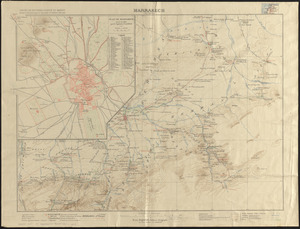
Marrakech
46.
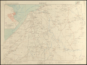
Mazagan
47.
Mediterranean Sea, eastern sheet
48.
Mediterranean Sea, western sheet
49.
Minerals
50.
Mogador-Taroudant
51.
New York (western section)
52.
Otis Company, Cotton Mill, Ware, Mass. [insurance map]
53.
Outline map of Massachusetts showing senatorial districts as established by the General Court of 1906 with legal voters...
54.
Path map of the eastern part of Mount Desert Island, Maine
55.
Plan and section, Leipsigate gold district, Lunenburg Co., Nova Scotia
56.
Plan and section, Salmon River gold district, Halifax Co., N.S
57.
Plan and sections, Caribou gold district, Halifax Co., N.S
58.
Plan and sections Harrigan Cove gold district, Halifax Co., Nova Scotia
59.
Plan of corner of Centry & Beacon St's -- 1741
60.
Plan of properties at Galloupe's Point : Swampscott, Mass.
‹ Prev
Next ›
1
2
3
4
5


![Otis Company, Cotton Mill, Ware, Mass. [insurance map]](https://bpldcassets.blob.core.windows.net/derivatives/images/commonwealth:1544br35q/image_thumbnail_300.jpg)