Toggle navigation
LMEC Home
Exhibitions
Georeferencing
Tools for Teachers
Collections
My Favorites
Sign Up / Log In
Search
Search the map portal
Map Collection
Map Collection
Map Sets
Search
Search
Search for
Search In
All Fields
Creator
Title
Subject
Place
Search All Digital Collections
Advanced Search
89 Results
My Search
Start Over
Date
1904
Remove constraint Date: <span class='single'>1904</span>
Filter your Search
Place
North and Central America
63
United States
50
Massachusetts
18
Asia
11
Boston
11
Suffolk (county)
11
Canada
9
China
6
more
Place
»
Topic
Boston (Mass.)--Maps
7
United States--Maps
6
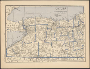
Gold mines and mining--Nova Scotia--Maps
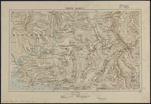
5
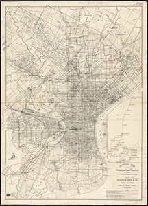
Korea--Maps
5
Manchuria (China)--Maps
4
Canada--Maps
3
New England--Maps--Early works to 1800--Facsimiles
3
Real property--Massachusetts--Boston--Maps
3
more
Topic
»
Date
1904
[remove]
89
Date range begin
–
Date range end
Current results range from
1770
to
1999
1904
to
1904
89
Creator
Geo. H. Walker & Co.
8
Geological Survey of Canada
5
Fisk, E. F.
3
Geological Survey (U.S.)
3
Barnes & Farnham
2
Blanchard, Rufus, 1821-1904
2
Boston Elevated Railway Company
2
Bromley, George Washington
2
more
Creator
»
Format
Maps/Atlases
87
Books
1
Photographs
1
Prints
1
Georeferenced
Yes
12
No
77
Collection
Norman B. Leventhal Map & Education Center Collection
80
Boston and New England Maps
7
Urban Maps
5
Massachusetts Real Estate Atlases
4
Robert E. Diefenbach Map Collection at Phillips Academy
3
American Revolutionary War-Era Maps
1
American Textile History Museum Image Collection
1
Maritime Charts and Atlases
1
more
Collection
»
Available to use
No known restrictions
83
Search Constraints
Sort by relevance
relevance
title
date (asc)
date (desc)
Number of results to display per page
20 per page
10
per page
20
per page
50
per page
100
per page
View results as:
grid view
map view
Search Results
41.
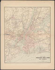
Map of the greater New York and vicinity
42.
Map of the Jesuit missions in Huronia
43.
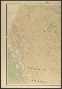
Map of the northern interior of British Columbia shewing undeveloped areas
44.
Map of the United States showing principal cities, rivers, and mountain ranges
45.
Map of Virginia, West Virginia and Ohio : showing Norfolk and Western Railway : main line branches and connections
46.
Map showing distribution of indian stocks and tribes, between 1710-1720
47.
Map showing Indian reservations within the limits of the United States, 1903
48.
Map showing lines of the Bell telephone companies in the United States and Canada : July 1st, 1904
49.
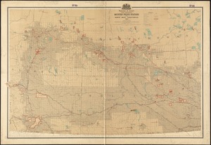
Map showing mounted police stations in north-western Canada
50.
Map showing mounted police stations in the North West Territories
51.
A mapp of New England
52.
Maps of the Far East, illustrating Russo-Japanese War
53.
Minerals
54.
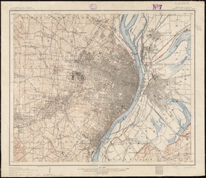
Missouri-Illinois, Saint Louis special map
55.
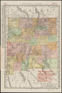
New Mexico
56.
New York (western section)
57.
North Korea
58.
Official map of the Philadelphia Rapid Transit Co
59.
Osborn Mills, Nos. 1 & 2 Mills (Cotton), Fall River, Mass. [insurance map]
60.
Plan and section, Cochran Hill gold district, Guysborough Co., Nova Scotia
‹ Prev
Next ›
1
2
3
4
5


![Osborn Mills, Nos. 1 & 2 Mills (Cotton), Fall River, Mass. [insurance map]](https://bpldcassets.blob.core.windows.net/derivatives/images/commonwealth:ww72bx485/image_thumbnail_300.jpg)