Toggle navigation
LMEC Home
Exhibitions
Georeferencing
Tools for Teachers
Collections
My Favorites
Sign Up / Log In
Search
Search the map portal
Map Collection
Map Collection
Map Sets
Search
Search
Search for
Search In
All Fields
Creator
Title
Subject
Place
Search All Digital Collections
Advanced Search
14164 Results
Filter your Search
Place
North and Central America
10,832
United States
8,868
Massachusetts
2,832
Suffolk (county)
1,688
Boston
1,644
Europe
1,428
Canada
1,010
New York
684
more
Place
»
Topic
Boston (Mass.)--Maps
753
City planning--Massachusetts--Boston--Maps
419
United States--History--Revolution, 1775-1783--Maps
331
United States--Maps
331
Real property--Massachusetts--Boston--Maps
254
Urban renewal--Massachusetts--Boston--Maps
254
North America--Maps--Early works to 1800
241
Massachusetts--Maps
236
more
Topic
»
Date
Date range begin
–
Date range end
Current results range from
1482
to
2023
View distribution
Creator
United States. Hydrographic Office
597
Boston Redevelopment Authority
404
Des Barres, Joseph F. W. (Joseph Frederick Wallet), 1722-1824
247
Jefferys, Thomas, -1771
172
United States. National Ocean Service
170
Royal United Services Institute for Defence and Security Studies
160
George, III, King of Great Britain, 1738-1820
152
George, IV, King of Great Britain, 1762-1830
151
more
Creator
»
Format
Maps/Atlases
13,978
Manuscripts
985
Prints
102
Books
53
Drawings/Illustrations
44
Photographs
15
Objects/Artifacts
13
Documents
7
more
Format
»
Georeferenced
Yes
979
No
13,185
Collection
Norman B. Leventhal Map & Education Center Collection
9,162
American Revolutionary War-Era Maps
3,629
Boston and New England Maps
2,936
Urban Maps
2,511
Maritime Charts and Atlases
1,169
William L. Clements Library Collection
910
Library of Congress Collection
618
Boston Redevelopment Authority Collection
475
more
Collection
»
Available to use
No known restrictions
10,408
Creative Commons license
1,678
Search Constraints
Sort by relevance
relevance
title
date (asc)
date (desc)
Number of results to display per page
20 per page
10
per page
20
per page
50
per page
100
per page
View results as:
grid view
map view
Search Results
4381.
Illustration of the south side of Boylston Street between Clarendon and Berkeley Streets
4382.
Illustrations of Charlecote Hall, Church of the Holy Trinity, and New Place
4383.
Illustrations of Shakespeare's house and school
4384.
Illustrative re-use site plan for the regional core
4385.
Illustrative site plan : Government Center
4386.
Illustrative site plan : a proposal for community review South End/Lower Roxbury development policy
4387.
Illustrative site plan : South End urban renewal area, Massachusetts r-56
4388.
Illustrative site plan : a proposal for community review South End/Lower Roxbury development policy
4389.
Illustrative site plan : Government Center urban renewal area, Massachusetts R-35
4390.
Illustrative site plan : Washington Park urban renewal area, Massachusetts R-24
4391.
Illustrierte karte der Vereinigten Staaten von Amerika : mit darstellung der regionalen bodenschätze, produkte und...
4392.
Illustrissimo celsissimoque principi Carolo Emanueli D. G. Sabaudiae Duci, Pedemontii principi etc. hanc accuratam status...
4393.
Illustrissimo Celsissimoque Principii Guiljelmo Henrico D.G. Arausionum Principi Domino suo Clementissimo hanc Comitatus...
4394.
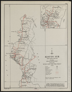
Ilocos Sur : northern portion
4395.
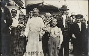
Immigrant boy salutes flag on ship in Boston harbor
4396.
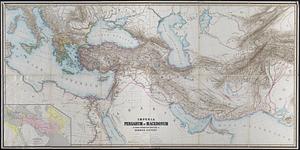
Imperia Persarum et Macedonum in usum scholarum descripta
4397.
Imperial Federation, map of the world showing the extent of the British Empire in 1886
4398.
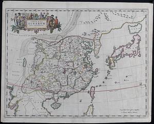
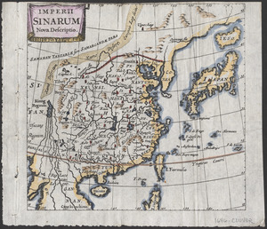
Imperii Sinarum nova descriptio
4399.
Imperii Sinarum nova descriptio
4400.
Imperii Sinarum nova descriptio
‹ Prev
Next ›
1
2
…
216
217
218
219
220
221
222
223
224
…
708
709