Toggle navigation
LMEC Home
Exhibitions
Georeferencing
Tools for Teachers
Collections
My Favorites
Sign Up / Log In
Search
Search the map portal
Map Collection
Map Collection
Map Sets
Search
Search
Search for
Search In
All Fields
Creator
Title
Subject
Place
Search All Digital Collections
Advanced Search
93 Results
My Search
Start Over
Date
1917
Remove constraint Date: <span class='single'>1917</span>
Filter your Search
Place
North and Central America
60
United States
52
Massachusetts
18
Europe
16
Boston
11
Suffolk (county)
11
Canada
7
New York
7
more
Place
»
Topic
Austria--Maps
5
Boston (Mass.)--Maps
5
Hungary--Maps
4
United States--Maps
4
Europe, Central--Maps
3
Europe--Maps
3
Immigrants--Massachusetts--Boston
3
Massachusetts--Maps
3
more
Topic
»
Date
1917
[remove]
93
Date range begin
–
Date range end
Current results range from
1770
to
1999
1917
to
1917
93
Creator
Richard Mayer (Firm)
8
American Geographical Society of New York
5
C.S. Hammond & Company
5
Bromley, George Washington
4
Bromley, Walter Scott
4
Curtis, Lionel, 1872-1955
4
Illinois State Geological Survey
4
G.W. Bromley & Co.
3
more
Creator
»
Format
Maps/Atlases
90
Photographs
3
Books
1
Georeferenced
Yes
7
No
86
Collection
Norman B. Leventhal Map & Education Center Collection
84
Boston and New England Maps
7
Urban Maps
7
Robert E. Diefenbach Map Collection at Phillips Academy
4
Massachusetts Real Estate Atlases
3
American Revolutionary War-Era Maps
1
American Textile History Museum Image Collection
1
Sidney R. Knafel Map Collection at Phillips Academy
1
Available to use
No known restrictions
87
Creative Commons license
1
Search Constraints
Sort by relevance
relevance
title
date (asc)
date (desc)
Number of results to display per page
20 per page
10
per page
20
per page
50
per page
100
per page
View results as:
grid view
map view
Search Results
21.
G. Freytags völker- und sprachenkarte von Österreich-Ungarn
22.
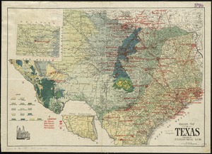
Gallup's map of Texas
23.
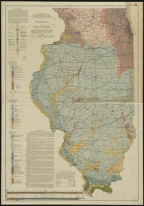
Geologic map of Illinois
24.
Geologic reconnaissance map of Mindanao
25.
Growth of the Commonwealth (A)
26.
Guatemala and Salvador from a drawing by International Railways of Central America
27.
Hammond's complete map of New York City
28.
Hammond's complete map of the Bronx
29.
Hammond's new road map of eastern Massachusetts and southern New Hampshire
30.
Hammond's new road map of Rhode Island and southeastern Massachusetts
31.
Honduras from a drawing by International Railways of Central America
32.
Insurance maps of Gloucester, Massachusetts
33.
International Paper Co. (Electric Power Plant), Jay, Me. [insurance map]
34.
Karte vom kriegschauplatz
35.
Klamath project, Oregon-California
36.
The lesson of the war map
37.
London
38.
Map no. 245
39.
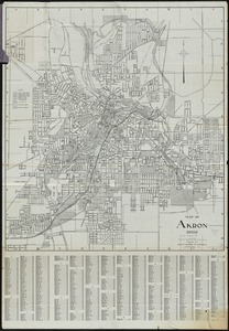
Map of Akron, Ohio : prepared for Akron Chamber of Commerce
40.
Map of Cape Cod and vicinity
‹ Prev
Next ›
1
2
3
4
5


![International Paper Co. (Electric Power Plant), Jay, Me. [insurance map]](https://bpldcassets.blob.core.windows.net/derivatives/images/commonwealth:4j03df17k/image_thumbnail_300.jpg)