Toggle navigation
LMEC Home
Exhibitions
Georeferencing
Tools for Teachers
Collections
My Favorites
Sign Up / Log In
Search
Search the map portal
Map Collection
Map Collection
Map Sets
Search
Search
Search for
Search In
All Fields
Creator
Title
Subject
Place
Search All Digital Collections
Advanced Search
245 Results
My Search
Start Over
Date
1905
to
1909
Remove constraint Date: <span class='from'>1905</span> to <span class='to'>1909</span>
Filter your Search
Place
North and Central America
196
United States
178
Massachusetts
77
Suffolk (county)
35
Boston
34
Essex (county)
15
Canada
14
Norfolk (county)
14
more
Place
»
Topic
Boston (Mass.)--Maps
17
Massachusetts--Maps
9
United States--Maps
9
Gold mines and mining--Nova Scotia--Maps
8
Real property--Massachusetts--Boston--Maps
8
Landowners--Massachusetts--Boston--Maps
7
Fire risk assessment
6
Insurance surveys
6
more
Topic
»
Date
1905
to
1909
[remove]
245
Date range begin
–
Date range end
Current results range from
1770
to
1999
1905
to
1905
85
1906
to
1906
85
1907
to
1907
72
1908
to
1908
70
1909
to
1909
68
Creator
Fisk, E. F.
14
Walker Lith. & Pub. Co
13
International Correspondence Schools
12
International Textbook Company
12
Geo. H. Walker & Co.
10
Bromley, George Washington
9
Bromley, Walter Scott
9
Geological Survey of Canada
9
more
Creator
»
Format
Maps/Atlases
241
Photographs
3
Prints
2
Books
1
Manuscripts
1
Objects/Artifacts
1
Georeferenced
Yes
31
No
214
Collection
Norman B. Leventhal Map & Education Center Collection
218
Boston and New England Maps
33
Urban Maps
21
Massachusetts Real Estate Atlases
15
American Textile History Museum Image Collection
6
Maritime Charts and Atlases
6
Mapping Boston Collection
4
Robert E. Diefenbach Map Collection at Phillips Academy
4
more
Collection
»
Available to use
No known restrictions
219
Creative Commons license
4
Search Constraints
Sort by relevance
relevance
title
date (asc)
date (desc)
Number of results to display per page
20 per page
10
per page
20
per page
50
per page
100
per page
View results as:
grid view
map view
Search Results
21.
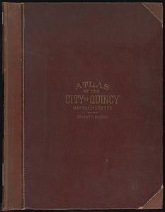
Atlas of the city of Quincy, Norfolk County, Massachusetts
22.
Atlas of the city of Quincy, Norfolk County, Massachusetts
23.
Atlas of the town of Brookline, Norfolk County, Massachusetts : from actual surveys and official plans
24.
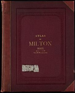
Atlas of the town of Milton Norfolk County Mass. : from official plans and private surveys
25.
Atlas of the town of Milton, Norfolk County, Massachusetts
26.
Atlas of the towns of Braintree and Weymouth, Norfolk County, Massachusetts
27.
Atlas of the towns of Braintree and Weymouth, Norfolk County, Massachusetts : from official plans and actual surveys
28.
Atlas of the towns of Needham, Dover, Westwood, Millis and Medfield, Norfolk county, Massachusetts
29.
Atlas of the towns of Needham, Dover, Westwood, Millis and Medfield, Norfolk County, Massachusetts : from official plans and...
30.
Atlas of the towns of Revere and Winthrop, Suffolk County, Massachusetts
31.
Automobile map of Massachusetts : central section
32.
Balkan peninsula
33.
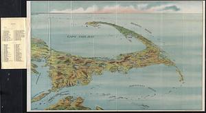
Bird's eye view of Cape Cod
34.
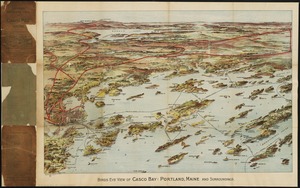
Birds eye view of Casco Bay, Portland, Maine, and surroundings
35.
Birds eye view showing Portland R.R. Co. system and connecting lines
36.
[Bird's-eye view of Boston]
37.
Bird's-eye view of Branford, Connecticut
38.
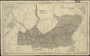
Blue Hills Reservation
39.
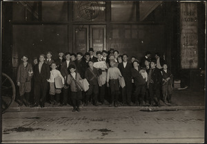
Boston Globe Newsboys on Newspaper Row
40.
Boston Harbor, Massachusetts
‹ Prev
Next ›
1
2
3
4
5
6
…
12
13


![[Bird's-eye view of Boston]](https://bpldcassets.blob.core.windows.net/derivatives/images/commonwealth:9s161d217/image_thumbnail_300.jpg)