Toggle navigation
LMEC Home
Exhibitions
Georeferencing
Tools for Teachers
Collections
My Favorites
Sign Up / Log In
Search
Search the map portal
Map Collection
Map Collection
Map Sets
Search
Search
Search for
Search In
All Fields
Creator
Title
Subject
Place
Search All Digital Collections
Advanced Search
460 Results
My Search
Start Over
Date
1700
to
1749
Remove constraint Date: <span class='from'>1700</span> to <span class='to'>1749</span>
Filter your Search
Place
North and Central America
272
United States
116
Europe
69
Canada
64
North America
53
South America
48
Africa
39
France
22
more
Place
»
Topic
North America--Maps--Early works to 1800
29
Manuscript maps--Early works to 1800
24
America--Maps--Early works to 1800
19
Western Hemisphere--Maps--Early works to 1800
19
South America--Maps--Early works to 1800
16
Louisbourg (N.S.)--Maps, Manuscript--Early works to 1800
14
Louisbourg (N.S.)--History--Siege, 1745--Maps, Manuscript--Early works to 1800
13
West Indies--Maps--Early works to 1800
12
more
Topic
»
Date
1700
to
1749
[remove]
460
Date range begin
–
Date range end
Current results range from
1668
to
1800
1700
to
1704
53
1705
to
1709
50
1710
to
1714
57
1715
to
1719
50
1720
to
1724
59
1725
to
1729
44
1730
to
1734
75
1735
to
1739
90
1740
to
1744
77
1745
to
1749
125
Creator
Moll, Herman, d. 1732
60
George, III, King of Great Britain, 1738-1820
40
George, IV, King of Great Britain, 1762-1830
39
L'Isle, Guillaume de, 1675-1726
25
Bellin, Jacques Nicolas, 1703-1772
17
Royal United Services Institute for Defence and Security Studies
17
Bastide, John Henry, approximately 1700-1770
15
Bowles, John, 1701-1779
14
more
Creator
»
Format
Maps/Atlases
451
Manuscripts
70
Drawings/Illustrations
5
Prints
3
Georeferenced
Yes
25
No
435
Collection
Norman B. Leventhal Map & Education Center Collection
300
American Revolutionary War-Era Maps
129
British Library Collection
73
Maritime Charts and Atlases
46
Boston and New England Maps
33
William L. Clements Library Collection
28
Newberry Library Collection
22
Urban Maps
17
more
Collection
»
Available to use
No known restrictions
296
Creative Commons license
102
Search Constraints
Sort by relevance
relevance
title
date (asc)
date (desc)
Number of results to display per page
20 per page
10
per page
20
per page
50
per page
100
per page
View results as:
grid view
map view
Search Results
301.
A new Mappe of a part of Hutsons or the North River, Rareton River which have there aiet lett in to the Sea by Sandy hoocke,...
302.
A New Plan of ye Great Town of BOSTON in New England in AMERICA with the many Additionall Buildings & New Streets to the Year,...
303.
A new plan of ye great town of Boston in New England in America with the many additionall buildings & new streets to the year 1743
304.
A new plan of ye great town of Boston in New England in America, with the many additionall buildings & new streets to the year...
305.
A new suruey of the harbour of Boston in New England
306.
A new survey of the harbour of Boston in New England : done by order of the principall officers and comissioners of Her Maties....
307.
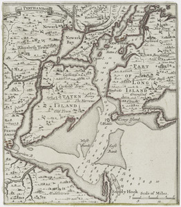
New York and Perthamboy Harbours
308.
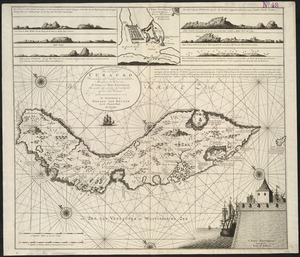
Nieuwe Afteekening van het Eyland Curacao vertoonende alle desselfs geleegentheeden mitsgaders de haven van St. Anna en't Fort...
309.
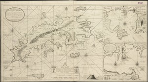
Nieuwe en aldereerste afteekening van 't eyland St. Thomas : met alle desselfs havenen, anker plaatse en geleegentheden is...
310.
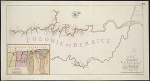
Nieuwe gemeten Kaart van de Colonie de Berbice met der zelver Plantagien en de Namen der Bezitters
311.
Nieuwe kaart van America uitgegeven te Amsterdam
312.
Nieuwe land en zeekaart van het eyland Barbados geleegen in West India onder de Caribesse Eylanden : afgeteekent na de nieuste...
313.
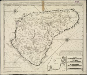
Nobmo. prudmoq[ue] viro Joanni Six Wimnae Toparchae, Vronmadae Domino, Consuli et Senatori Amstelaedamensi, hanc novissimam...
314.
North America : corrected from the observation communicated to the Royal Society at London and the Royal Academy at Paris
315.
The north part of Great Britain called Scotland : with considerable inprovements [sic] and many remarks not extant in any map,...
316.
Nouvelle Angleterre, Nlle. York, Nlle. Jeersey, Pensilvanie, Mariland et Virginie
317.
Nouvelle carte de l'Amerique : avec tous ses royaumes, etats, iles, ports, bayes et rivieres, dressée suivant les plus...
318.
Nouvelle Hollande (à présent Nouvelle-York), Nouvelle-Angleterre, et une partie de la Virginie
319.
Nova Anglia Septentrionali Americae implantata Anglorumque coloniis florentissima geographicè exhibita
320.
Nova orbis sive America Septentrionalis per sua regna provinc. et insul. cura et opera
‹ Prev
Next ›
1
2
…
12
13
14
15
16
17
18
19
20
…
22
23


![Nobmo. prudmoq[ue] viro Joanni Six Wimnae Toparchae, Vronmadae Domino, Consuli et Senatori Amstelaedamensi, hanc novissimam Britanniae, olim Armoricae tabulam](https://bpldcassets.blob.core.windows.net/derivatives/images/commonwealth:cj82ks229/image_thumbnail_300.jpg)