Toggle navigation
LMEC Home
Exhibitions
Georeferencing
Tools for Teachers
Collections
My Favorites
Sign Up / Log In
Search
Search the map portal
Map Collection
Map Collection
Map Sets
Search
Search
Search for
Search In
All Fields
Creator
Title
Subject
Place
Search All Digital Collections
Advanced Search
2843 Results
My Search
Start Over
atlas
Remove constraint atlas
Filter your Search
Place
North and Central America
1,647
United States
987
Europe
464
Massachusetts
348
Canada
271
Asia
190
South America
189
Suffolk (county)
163
more
Place
»
Topic
Landowners--Massachusetts--Boston--Maps
115
Real property--Massachusetts--Boston--Maps
106
United States--Maps
87
Boston (Mass.)--Maps
63
United States--History--French and Indian War, 1754-1763--Maps
63
Saint Lawrence River--Maps
41
Nautical charts--Early works to 1800
39
North America--Maps--Early works to 1800
36
more
Topic
»
Date
Date range begin
–
Date range end
Current results range from
1482
to
2023
View distribution
Creator
United States. Hydrographic Office
582
Des Barres, Joseph F. W. (Joseph Frederick Wallet), 1722-1824
118
Ptolemy, 2nd cent
100
Bromley, George Washington
99
Bromley, Walter Scott
97
G.W. Bromley & Co.
75
Carey, Mathew, 1760-1839
74
Paullin, Charles Oscar, 1868 or 1869-1944
70
more
Creator
»
Format
Maps/Atlases
2,827
Manuscripts
58
Books
37
Prints
8
Documents
5
Drawings/Illustrations
1
Georeferenced
Yes
142
No
2,701
Collection
Norman B. Leventhal Map & Education Center Collection
2,386
Maritime Charts and Atlases
1,150
American Revolutionary War-Era Maps
504
Boston and New England Maps
374
Urban Maps
250
Massachusetts Real Estate Atlases
144
William L. Clements Library Collection
92
Mapping Boston Collection
61
more
Collection
»
Available to use
No known restrictions
2,292
Creative Commons license
158
Search Constraints
Sort by relevance
relevance
title
date (asc)
date (desc)
Number of results to display per page
20 per page
10
per page
20
per page
50
per page
100
per page
View results as:
grid view
map view
Search Results
2561.
Geldria ducatus, et Zutfania comitatus
2562.
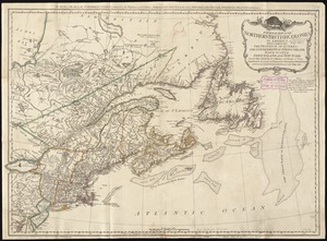
A general map of the northern British colonies in America : which comprehends the province of Quebec, the government of...
2563.
George Washington's map, accompanying his "journal to the Ohio", 1754
2564.
Hispaniae veteris descriptio
2565.
Hollandia comitatus
2566.
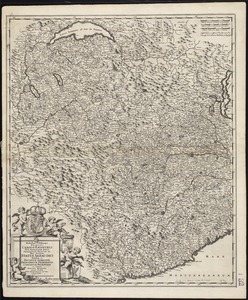
Illustrissimo celsissimoque principi Carolo Emanueli D. G. Sabaudiae Duci, Pedemontii principi etc. hanc accuratam status...
2567.
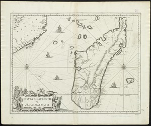
Insula S. Laurentii, vulgo Madagascar
2568.
A map of the North Pole with all the territories that lye near it, known to us &c. According to the latest discoveries, and...
2569.
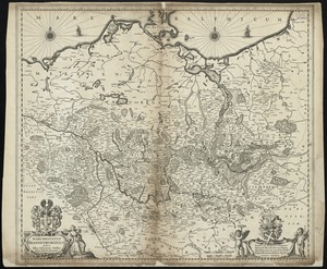
Marchionatus Brandenburgicus
2570.
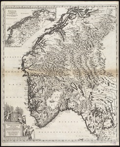
Norvegia regnum divisum in suos dioeceses Nidrosiensem, Bergensem, Opsloensem, et Stavangriensem et praefecturam Bahusiae quae...
2571.
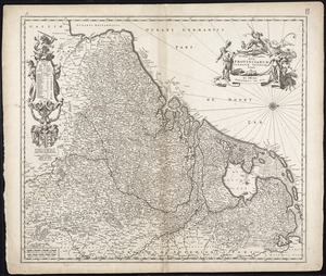
Novissima et accuratissima XVII provinciarum Germaniae inferioris tabula
2572.
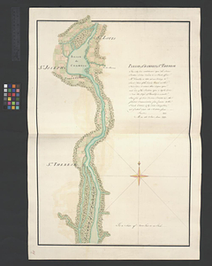
Parish of Chambly & Ste. Therese
2573.
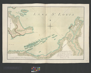
Parish of Chateau Gay
2574.
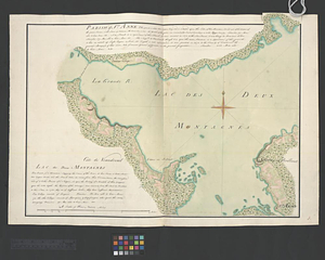
Parish of St. Anne. Lac des Deux Montagnes
2575.
Parish of St. Charles
2576.
Part of Wakefield [Massachusetts]
2577.
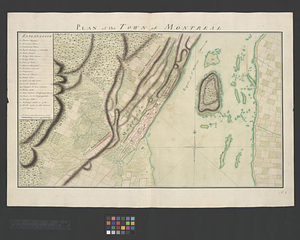
Plan of the town of Montreal
2578.
La Principauté d'Orange et comtat de Venaissin
2579.
Suthsexia : vernacule Sussex
2580.
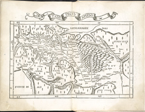
Tabu. provi. Rheni
‹ Prev
Next ›
1
2
…
125
126
127
128
129
130
131
132
133
…
142
143


![Part of Wakefield [Massachusetts]](https://bpldcassets.blob.core.windows.net/derivatives/images/commonwealth:c534g4366/image_thumbnail_300.jpg)