Toggle navigation
LMEC Home
Exhibitions
Georeferencing
Tools for Teachers
Collections
My Favorites
Sign Up / Log In
Search
Search the map portal
Map Collection
Map Collection
Map Sets
Search
Search
Search for
Search In
All Fields
Creator
Title
Subject
Place
Search All Digital Collections
Advanced Search
324 Results
My Search
Start Over
Date
1915
to
1919
Remove constraint Date: <span class='from'>1915</span> to <span class='to'>1919</span>
Filter your Search
Place
North and Central America
185
United States
165
Europe
94
Massachusetts
42
Boston
23
Suffolk (county)
23
France
21
Asia
20
more
Place
»
Topic
France--Maps
16
Europe--Maps
13
New England--Maps--Early works to 1800--Facsimiles
12
Real property--Massachusetts--Boston--Maps
11
Balkan Peninsula--Maps
10
Boston (Mass.)--Maps
10
Landowners--Massachusetts--Boston--Maps
10
United States--Maps
10
more
Topic
»
Date
1915
to
1919
[remove]
324
Date range begin
–
Date range end
Current results range from
1770
to
1999
1915
to
1915
84
1916
to
1916
79
1917
to
1917
92
1918
to
1918
105
1919
to
1919
104
Creator
American Geographical Society of New York
36
Gross, Alexander, 1879-1958
27
Bromley, George Washington
15
Bromley, Walter Scott
15
C.S. Hammond & Company
12
Geological Survey (U.S.)
11
Richard Mayer (Firm)
11
G.W. Bromley & Co.
10
more
Creator
»
Format
Maps/Atlases
321
Photographs
3
Books
2
Manuscripts
1
Georeferenced
Yes
36
No
288
Collection
Norman B. Leventhal Map & Education Center Collection
303
Urban Maps
15
Boston and New England Maps
14
Massachusetts Real Estate Atlases
13
Robert E. Diefenbach Map Collection at Phillips Academy
5
American Textile History Museum Image Collection
2
American Revolutionary War-Era Maps
1
Sidney R. Knafel Map Collection at Phillips Academy
1
Available to use
No known restrictions
307
Creative Commons license
1
Search Constraints
Sort by relevance
relevance
title
date (asc)
date (desc)
Number of results to display per page
20 per page
10
per page
20
per page
50
per page
100
per page
View results as:
grid view
map view
Search Results
221.
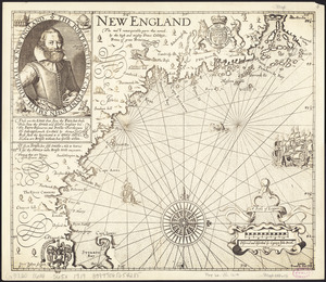
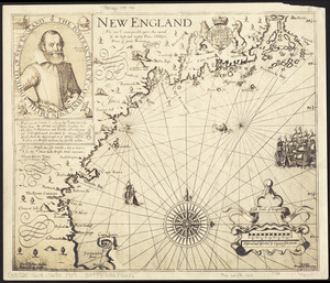
New England : the most remarqueable parts thus named by the high and mighty Prince Charles, Prince of great Britaine
222.
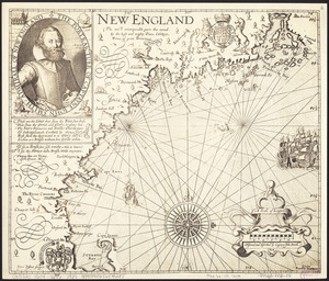
New England : the most remarqueable parts thus named by the high and mighty Prince Charles, Prince of great Britaine
223.
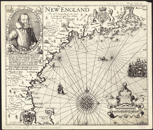
New England : the most remarqueable parts thus named by the high and mighty Prince Charles, Prince of great Britaine
224.
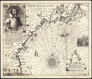
New England : the most remarqueable parts thus named by the high and mighty Prince Charles, Prince of great Britaine
225.
New England : the most remarqueable parts thus named by the high and mighty Prince Charles, Prince of great Britaine
226.
The new Europe and the new world
227.
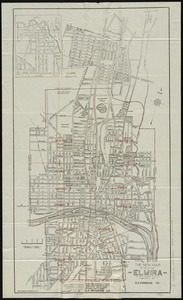
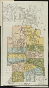
The new map of the City of Elmira
228.
The new map of the City of Elmira
229.
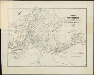
New map of the city of Norwich
230.
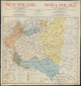
New Poland = Nowa Polska
231.
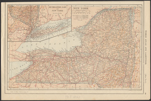
New York
232.
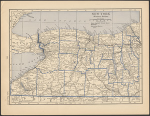
New York (western section)
233.
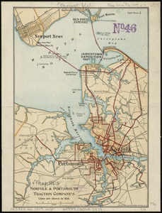
Norfolk & Portsmouth Traction Company's lines are shown in red
234.
North Carolina
235.
North Platte Project, Wyoming-Nebraska
236.
Northeast Africa
237.
Northern Alberta : map showing disposition of lands
238.
Northwest Africa
239.
Official map of American and Canadian airways and aerial mail routes
240.
The official map of New York : compiled from United States government surveys, official state surveys, and other sources
‹ Prev
Next ›
1
2
…
8
9
10
11
12
13
14
15
16
17