Toggle navigation
LMEC Home
Exhibitions
Georeferencing
Tools for Teachers
Collections
My Favorites
Sign Up / Log In
Search
Search the map portal
Map Collection
Map Collection
Map Sets
Search
Search
Search for
Search In
All Fields
Creator
Title
Subject
Place
Search All Digital Collections
Advanced Search
2843 Results
My Search
Start Over
atlas
Remove constraint atlas
Filter your Search
Place
North and Central America
1,647
United States
987
Europe
464
Massachusetts
348
Canada
271
Asia
190
South America
189
Suffolk (county)
163
more
Place
»
Topic
Landowners--Massachusetts--Boston--Maps
115
Real property--Massachusetts--Boston--Maps
106
United States--Maps
87
Boston (Mass.)--Maps
63
United States--History--French and Indian War, 1754-1763--Maps
63
Saint Lawrence River--Maps
41
Nautical charts--Early works to 1800
39
North America--Maps--Early works to 1800
36
more
Topic
»
Date
Date range begin
–
Date range end
Current results range from
1482
to
2023
View distribution
Creator
United States. Hydrographic Office
582
Des Barres, Joseph F. W. (Joseph Frederick Wallet), 1722-1824
118
Ptolemy, 2nd cent
100
Bromley, George Washington
99
Bromley, Walter Scott
97
G.W. Bromley & Co.
75
Carey, Mathew, 1760-1839
74
Paullin, Charles Oscar, 1868 or 1869-1944
70
more
Creator
»
Format
Maps/Atlases
2,827
Manuscripts
58
Books
37
Prints
8
Documents
5
Drawings/Illustrations
1
Georeferenced
Yes
142
No
2,701
Collection
Norman B. Leventhal Map & Education Center Collection
2,386
Maritime Charts and Atlases
1,150
American Revolutionary War-Era Maps
504
Boston and New England Maps
374
Urban Maps
250
Massachusetts Real Estate Atlases
144
William L. Clements Library Collection
92
Mapping Boston Collection
61
more
Collection
»
Available to use
No known restrictions
2,292
Creative Commons license
158
Search Constraints
Sort by relevance
relevance
title
date (asc)
date (desc)
Number of results to display per page
20 per page
10
per page
20
per page
50
per page
100
per page
View results as:
grid view
map view
Search Results
2361.
Illustrissimo Celsissimoque Principii Guiljelmo Henrico D.G. Arausionum Principi Domino suo Clementissimo hanc Comitatus...
2362.
The island of Antego
2363.
Leodiensis dioecesis
2364.
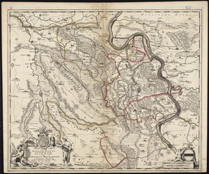
A map of the most inhabited part of New England containing the provinces of Massachusets Bay and New Hampshire with the...
2365.
Map of the state of New York compiled from the latest authorities
2366.
A new and most exact map of Europe described by N.I. Visscher and don into English and corrected according to I Bleau and...
2367.
Recentissima novi orbis, sive Americae Septentrionalis et Meridionalis tabula
2368.
Steden Wyser synde een perfecte en klare aenwysinge ... Leggen = L'echelle des villes montrant la distance ... l'autre
2369.
Stoneham, Massachusetts
2370.
Syriae sive Soriae : nova et accurata descriptio
2371.
Tabula ducatus Brabantiae continens Marchionatum sacri imperii et dominium Mechliniense
2372.
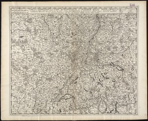
Tabula geographica qua pars meridionalis sive superior Rheni, Mosae, et Mosellae, ac minores in eosdem influentes Fluvii nec...
2373.
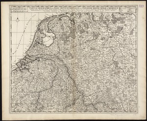
Tabula geographica qua pars septentrionalis sive Inferior Rheni, Mosae, et Mosellae, maximaeque partes Visurgis, Moeni, Amasi,...
2374.
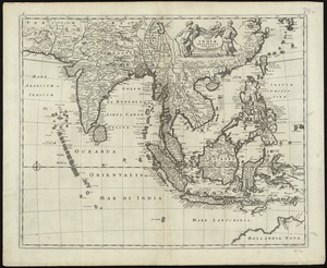
Tabula Indiae orientalis
2375.
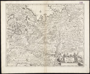
Tabula Russia vulgo Moscovia
2376.
Welt-karte zur übersicht der meeres-strömungen und des schnellverkehrs
2377.
Africae nova descriptio
2378.
Archiepiscopatus Trevirensis recentissima delineatio
2379.
Asia recens summa cura delineata
2380.
The Cedres
‹ Prev
Next ›
1
2
…
115
116
117
118
119
120
121
122
123
…
142
143


![A map of the most inhabited part of New England containing the provinces of Massachusets Bay and New Hampshire with the colonies of Connecticut and Rhode Island divided into counties and townships the w[h]ole composed from actual surveys and its situation adjusted by astronomical observations](https://bpldcassets.blob.core.windows.net/derivatives/images/commonwealth:6t053p316/image_thumbnail_300.jpg)