Toggle navigation
LMEC Home
Exhibitions
Georeferencing
Tools for Teachers
Collections
My Favorites
Sign Up / Log In
Search
Search the map portal
Map Collection
Map Collection
Map Sets
Search
Search
Search for
Search In
All Fields
Creator
Title
Subject
Place
Search All Digital Collections
Advanced Search
248 Results
My Search
Start Over
Date
1845
to
1849
Remove constraint Date: <span class='from'>1845</span> to <span class='to'>1849</span>
Filter your Search
Place
North and Central America
137
United States
114
Massachusetts
53
Europe
43
Oceania
32
Suffolk (county)
22
Boston
20
New England
16
more
Place
»
Topic
United States Exploring Expedition (1838-1842)
16
New England--Maps
12
Boston (Mass.)--Maps
10
Massachusetts--Maps
10
Railroads--New England--Maps
10
United States--Maps
10
Railroads--Massachusetts--Maps
8
Railroads--New York (State)--Maps
7
more
Topic
»
Date
1845
to
1849
[remove]
248
Date range begin
–
Date range end
Current results range from
1770
to
1990
1845
to
1845
111
1846
to
1846
119
1847
to
1847
114
1848
to
1848
116
1849
to
1849
138
Creator
United States Exploring Expedition (1838-1842)
34
Wilkes, Charles, 1798-1877
31
Sherman & Smith
19
J. & C. Walker (Firm)
10
Great Britain. Hydrographic Office
7
Vidal, A. T. E. (Alexander Thomas Emeric), 1792-1863
7
Horsburgh, James
5
Wadsworth, Alexander, 1806-1898
5
more
Creator
»
Format
Maps/Atlases
244
Manuscripts
14
Prints
3
Books
1
Georeferenced
Yes
32
No
216
Collection
Norman B. Leventhal Map & Education Center Collection
221
Boston and New England Maps
62
Maritime Charts and Atlases
52
Urban Maps
50
American Revolutionary War-Era Maps
13
Library of Congress Collection
5
Robert E. Diefenbach Map Collection at Phillips Academy
5
Lucius Beebe Memorial Library Historic Maps
4
more
Collection
»
Available to use
No known restrictions
227
Creative Commons license
11
Search Constraints
Sort by relevance
relevance
title
date (asc)
date (desc)
Number of results to display per page
20 per page
10
per page
20
per page
50
per page
100
per page
View results as:
grid view
map view
Search Results
201.
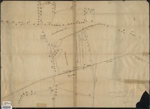
[Plan of real estate on Pearl Street, Boston]
202.
Plan of Stephen W. and Francis Jackson's farm in Newton, 6 1/2 miles from Boston
203.
Plan of the city of Charlestown
204.
Plan of the city of Quebec : shewing the portions destroyed by the two great fires, May 28th & June 28th, 1845
205.
Plan of the Inner Harbor of Boston
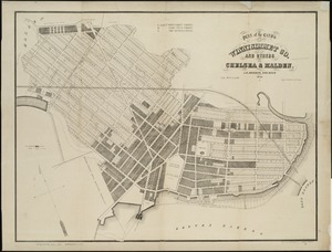
206.
Plan of the lands of the Winnisimmet Co. and others in Chelsea & Malden
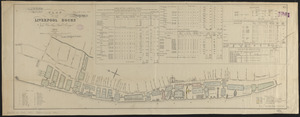
207.
Plan of the Liverpool Docks
208.
Plan of the new city at Hadley Falls
209.
Plan of the proposed docks at South Boston
210.
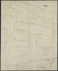
[Plan of William Jackson's farm, Newton]
211.
Plan of Woodland Vale, in Newton, belonging to Wm. Kenrick
212.
Plan or map showing the laying out of Rail Road Street
213.
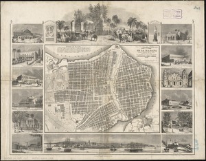
Plano pintoresco de la Habana : con los numeros de las casas
214.
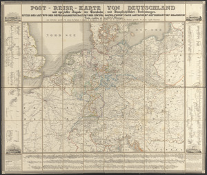
Post-reise-karte von Deutschland mit spezieller angabe der eisenbahn- und dampfschiffahrt-verbindungen : unter der leitung der...
215.
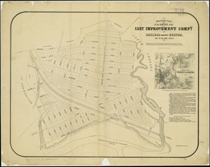
Proposed plan of the estate of the Cary Improvement Compy : in Chelsea opposite Boston, and in the same county
216.
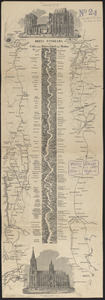
Rail road map of New England & eastern New York
217.
Rail road map of New England & eastern New York
218.
Railroad map of New England & eastern New York complied from the most authentic sources
219.
Rhein Panorama von Cöln nach Düsseldorf und Mainz
220.
Rock's illustrated map of London
‹ Prev
Next ›
1
2
…
7
8
9
10
11
12
13
![[Plan of real estate on Pearl Street, Boston]](https://bpldcassets.blob.core.windows.net/derivatives/images/commonwealth:9s161d705/image_thumbnail_300.jpg)


![[Plan of William Jackson's farm, Newton]](https://bpldcassets.blob.core.windows.net/derivatives/images/commonwealth:9s161g07t/image_thumbnail_300.jpg)