Toggle navigation
LMEC Home
Exhibitions
Georeferencing
Tools for Teachers
Collections
My Favorites
Sign Up / Log In
Search
Search the map portal
Map Collection
Map Collection
Map Sets
Search
Search
Search for
Search In
All Fields
Creator
Title
Subject
Place
Search All Digital Collections
Advanced Search
1485 Results
My Search
Start Over
Subject
"Boston (Mass.)--Maps"
Remove constraint Subject: "Boston (Mass.)--Maps"
Filter your Search
Place
North and Central America
1,484
United States
1,482
Suffolk (county)
1,400
Boston
1,396
Massachusetts
1,100
Boston Harbor
126
Roxbury
91
Charlestown
71
more
Place
»
Topic
Boston (Mass.)--Maps
748
City planning--Massachusetts--Boston--Maps
407
Real property--Massachusetts--Boston--Maps
245
Urban renewal--Massachusetts--Boston--Maps
245
Landowners--Massachusetts--Boston--Maps
161
Buildings--Massachusetts--Boston--Maps
124
Land use--Massachusetts--Boston--Maps
99
Roxbury (Boston, Mass.)--Maps
90
more
Topic
»
Date
Date range begin
–
Date range end
Current results range from
1689
to
2023
View distribution
Creator
Boston Redevelopment Authority
387
Bromley, George Washington
69
Bromley, Walter Scott
68
G.W. Bromley & Co.
46
Geo. H. Walker & Co
28
Boston (Mass.). Engineering Dept
21
Boynton, George W., d. 1884
21
Sampson, Davenport & Co
21
more
Creator
»
Format
Maps/Atlases
1,482
Manuscripts
50
Drawings/Illustrations
5
Posters
1
Prints
1
Georeferenced
Yes
140
No
1,345
Collection
Boston and New England Maps
1,209
Urban Maps
1,016
Norman B. Leventhal Map & Education Center Collection
1,004
Boston Redevelopment Authority Collection
449
American Revolutionary War-Era Maps
129
Mapping Boston Collection
53
Massachusetts Real Estate Atlases
38
Maritime Charts and Atlases
28
more
Collection
»
Available to use
No known restrictions
1,302
Creative Commons license
116
Search Constraints
Sort by relevance
relevance
title
date (asc)
date (desc)
Number of results to display per page
20 per page
10
per page
20
per page
50
per page
100
per page
View results as:
grid view
map view
Search Results
181.
A plan of Boston, from actual survey
182.
A plan of Boston, from actual survey by Osgood Carleton
183.
Plan of Boston, with additions and corrections
184.
Plan of Boston, with additions and corrections
185.
Plan of Boston, with additions and corrections
186.
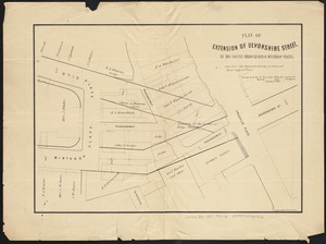
Plan of extension of Devonshire Street, by two routes through Otis and Winthrop Places
187.
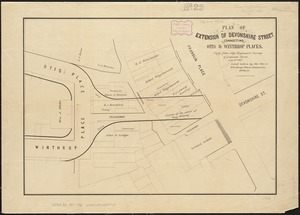
Plan of extension of Devonshire Street connecting Otis & Winthrop Places
188.
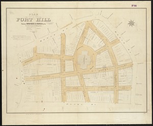
Plan of Fort Hill showing improvements as proposed by the Committee on laying out and widening streets
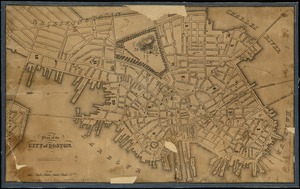
189.
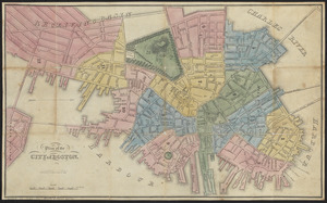
Plan of the city of Boston
190.
Plan of the city of Boston
191.
Plan of the city of Boston
192.
Plan of the city of Boston
193.
Plan of the city of Boston
194.
Plan of the city of Boston
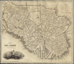
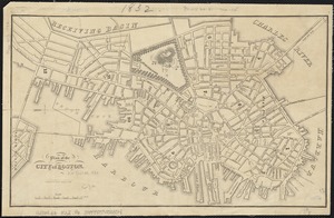
195.
Plan of the city of Boston
196.
Plan of the city of Boston
197.
Plan of the city of Boston
198.
Plan of the town of Boston
199.
Plan of the town of Boston
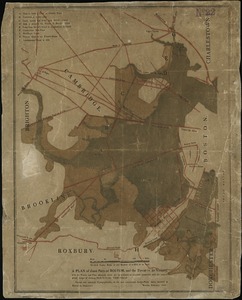
200.
A plan of those parts of Boston, and the towns in its vicinity, with the waters and flats adjacent, which are immediately or...
‹ Prev
Next ›
1
2
…
6
7
8
9
10
11
12
13
14
…
74
75