Toggle navigation
LMEC Home
Exhibitions
Georeferencing
Tools for Teachers
Collections
My Favorites
Sign Up / Log In
Search
Search the map portal
Map Collection
Map Collection
Map Sets
Search
Search
Search for
Search In
All Fields
Creator
Title
Subject
Place
Search All Digital Collections
Advanced Search
24 Results
My Search
Start Over
Date
1941
Remove constraint Date: <span class='single'>1941</span>
Filter your Search
Place
North and Central America
22
United States
21
Massachusetts
7
Boston
6
Suffolk (county)
6
New England
5
Canada
3
Middlesex (county)
2
more
Place
»
Topic
Boston (Mass.)--Maps
3
New England--Maps--Early works to 1800--Facsimiles
3
United States--Maps
3
Fire risk assessment
2
Insurance surveys
2
1676
1
Atlantic Ocean--Maps
1
Beacon Hill (Boston, Mass.)--Maps
1
more
Topic
»
Date
1941
[remove]
24
Date range begin
–
Date range end
Current results range from
1770
to
1999
1941
to
1941
24
Creator
Associated Factory Mutual Fire Insurance Companies
2
Allen, Norton, 1909-1997
1
American Map Company (New York, N.Y.)
1
Boston (Mass.). Department of Parks. Board of Commissioners
1
Boston (Mass.). Office of Chief Engineer
1
Brawley Chamber of Commerce (Calif.)
1
Chase, Ernest Dudley, 1878-1966
1
Comey, Arthur C. (Arthur Coleman), 1886-1954
1
more
Creator
»
Format
Maps/Atlases
23
Objects/Artifacts
1
Photographs
1
Georeferenced
Yes
1
No
23
Collection
Norman B. Leventhal Map & Education Center Collection
19
Boston and New England Maps
3
American Textile History Museum Image Collection
2
Urban Maps
2
American Revolutionary War-Era Maps
1
Lucius Beebe Memorial Library Historic Maps
1
Robert E. Diefenbach Map Collection at Phillips Academy
1
Sidney R. Knafel Map Collection at Phillips Academy
1
Available to use
No known restrictions
21
Search Constraints
Sort by relevance
relevance
title
date (asc)
date (desc)
Number of results to display per page
20 per page
10
per page
20
per page
50
per page
100
per page
View results as:
grid view
map view
Search Results
1.
38,000,000 escaped -- 10,000,000 died
2.
Boston, Massachusetts
3.
A chart of the gulf stream
4.
A draught of St. John's harbour : with the soundings
5.
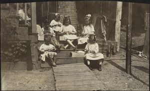
Family of Mrs. Donovan, Roxbury
6.
The fifth column menaces America on a thousand fronts
7.
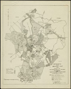
General and zoning map for town of Wakefield, Mass.
8.
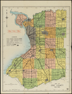
Map of Erie County, New York
9.
A map of New England and New York
10.
Map of the Back Bay Fens showing the public ways bordering and crossing them and the neighboring newly laid out parts of...
11.
A mapp of New England
12.
New England Theatres, Inc. "Olympia Theatre," New Bedford, Mass. [insurance map]
13.
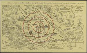
Official tourist map of Imperial County, California
14.
Patchogue-Plymouth Mills Corp., North Andover, Mass. [insurance map]
15.
Plan of Boston & Maine Railroad terminal division Boston, Cambridge, Somerville, Everett and Medford
16.
Plan of corner of Centry & Beacon St's -- 1741
17.
Plan of the burnt district : showing proposed improvements in streets. Nov. 12th 1872
18.
Los recursos de los Estados Unidos
19.
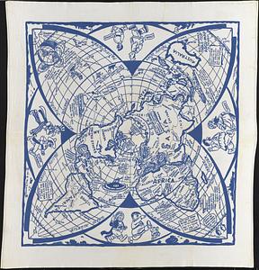
Reg Manning's table-top argu-map of the world
20.
A small map of the sea coast of New England together with the outlines of several of the provinces lying thereon, 1738
‹ Prev
Next ›
1
2


![New England Theatres, Inc. "Olympia Theatre," New Bedford, Mass. [insurance map]](https://bpldcassets.blob.core.windows.net/derivatives/images/commonwealth:ww72bz783/image_thumbnail_300.jpg)
![Patchogue-Plymouth Mills Corp., North Andover, Mass. [insurance map]](https://bpldcassets.blob.core.windows.net/derivatives/images/commonwealth:ww72bz24s/image_thumbnail_300.jpg)