Toggle navigation
LMEC Home
Exhibitions
Georeferencing
Tools for Teachers
Collections
My Favorites
Sign Up / Log In
Search
Search the map portal
Map Collection
Map Collection
Map Sets
Search
Search
Search for
Search In
All Fields
Creator
Title
Subject
Place
Search All Digital Collections
Advanced Search
4 Results
My Search
Start Over
Date
1578
Remove constraint Date: <span class='single'>1578</span>
Filter your Search
Place
World
2
Asia
1
Canada
1
Central Asia
1
Montreal
1
North and Central America
1
Quebec
1
Topic
World maps--Early works to 1800
1
Date
1578
[remove]
4
Date range begin
–
Date range end
Current results range from
1556
to
1606
1578
to
1578
4
Creator
Hogenberg, Frans, approximately 1539-1590
1
Jode, Gerard de, 1509-1591
1
Mercator, Gerhard, 1512-1594
1
Ramusio, Giovanni Battista, 1485-1557
1
Format
Maps/Atlases
4
Georeferenced
No
4
Collection
Pechter Family Map Collection at Phillips Academy
2
Map Collections at Phillips Academy
1
Mapping Boston Collection
1
Norman B. Leventhal Map & Education Center Collection
1
Available to use
No known restrictions
3
Creative Commons license
1
Search Constraints
Sort by relevance
relevance
title
date (asc)
date (desc)
Number of results to display per page
20 per page
10
per page
20
per page
50
per page
100
per page
View results as:
grid view
map view
Search Results
1.
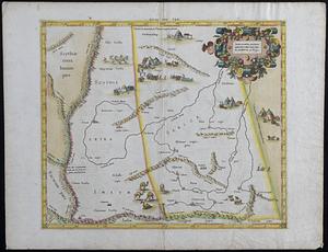
Illustrated map of Scythia, Extra, Serica, and Imaum
2.
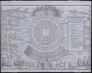
La terra de Hochelaga nella Nova Francia
3.
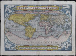
Typus orbis terrarum
4.
Uniuersi orbis seu terreni globi in plano effigies