Toggle navigation
LMEC Home
Exhibitions
Georeferencing
Tools for Teachers
Collections
My Favorites
Sign Up / Log In
Search
Search the map portal
Map Collection
Map Collection
Map Sets
Search
Search
Search for
Search In
All Fields
Creator
Title
Subject
Place
Search All Digital Collections
Advanced Search
1227 Results
My Search
Start Over
More Like
commonwealth-oai:xk81pj70h
Remove constraint More Like: commonwealth-oai:xk81pj70h
Filter your Search
Place
North and Central America
1,192
United States
933
Canada
226
New York
193
Quebec
111
Pennsylvania
61
New Jersey
54
Nova Scotia
48
more
Place
»
Topic
United States--Maps
330
United States--History--Revolution, 1775-1783--Maps
305
United States--History--French and Indian War, 1754-1763--Maps
151
Saint Lawrence River--Maps
44
Elections--United States--Maps
36
Railroads--United States--Maps
34
Canada--Maps
29
Newport (R.I.)--Maps
27
more
Topic
»
Date
Date range begin
–
Date range end
Current results range from
1700
to
2023
View distribution
Creator
Paullin, Charles Oscar, 1868 or 1869-1944
70
Wright, John Kirtland, 1891-1969
70
Rocque, Mary Ann
29
Bellin, Jacques Nicolas, 1703-1772
26
Holland, Samuel, 1728-1801
25
Montrésor, John, 1736-1799
25
Jefferys, Thomas, -1771
24
Clinton, Henry, Sir, 1738?-1795
19
more
Creator
»
Format
Maps/Atlases
1,209
Drawings/Illustrations
11
Documents
5
Prints
3
Books
1
Manuscripts
1
Objects/Artifacts
1
Posters
1
Georeferenced
Yes
65
No
1,162
Collection
American Revolutionary War-Era Maps
939
William L. Clements Library Collection
909
Norman B. Leventhal Map & Education Center Collection
288
American Antiquarian Society Collection
20
MacLean Collection Map Library
9
David Judkins Weaver Papers
2
Mapping Boston Collection
2
Applied Geographics, Inc. Records
1
more
Collection
»
Available to use
No known restrictions
213
Creative Commons license
5
Search Constraints
Sort by relevance
relevance
title
date (asc)
date (desc)
Number of results to display per page
20 per page
10
per page
20
per page
50
per page
100
per page
View results as:
grid view
map view
Search Results
561.
Kings Bridge
562.
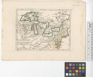
Les lacs du Canada et Nouvelle Angleterre
563.
Lake Champlain
564.
Lake Megantic and the Chaudière River : Québec July 25th, 1761
565.
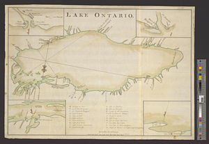
Lake Ontario
566.
Land holdings on Kip's Bay, Manhattan Island
567.
Lands of the town of Reading as proposd by the bill of incorporation 1780
568.
Lands west of the Mississippi, 1750
569.
Lent's Creek and Baillies Creek
570.
Lines of Charleston
571.
Long Island
572.
Louisbourg, latitude 45⁰ 50' north
573.
M. Progues wood land
574.
Manicouagan Shoals; Havre St. Nicholas; Bay of the Seven Islands
575.
Map from Albany to Crown Point
576.
A map of 100 miles round Boston
577.
Map of a part of no. four, of no. 1 & 2 of no. 3 and of a part of Hague and Cambray
578.
A map of a piece of land surveyd for Peter Coem in lot no 3 belonging the Henry Livingston esqr & laid down from a scale of 10...
579.
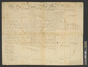
Map of Argyle or the Scot's Patent
580.
Map of East Florida from St. Augustine to Tampa Bay
‹ Prev
Next ›
1
2
…
25
26
27
28
29
30
31
32
33
…
61
62