Toggle navigation
LMEC Home
Exhibitions
Georeferencing
Tools for Teachers
Collections
My Favorites
Sign Up / Log In
Search
Search the map portal
Map Collection
Map Collection
Map Sets
Search
Search
Search for
Search In
All Fields
Creator
Title
Subject
Place
Search All Digital Collections
Advanced Search
1692 Results
My Search
Start Over
More Like
commonwealth-oai:9019wz92n
Remove constraint More Like: commonwealth-oai:9019wz92n
Filter your Search
Place
North and Central America
1,665
United States
1,403
Suffolk (county)
758
Boston
750
Massachusetts
710
Canada
205
New York
195
Quebec
111
more
Place
»
Topic
Boston (Mass.)--Maps
752
United States--History--Revolution, 1775-1783--Maps
307
United States--History--French and Indian War, 1754-1763--Maps
149
City planning--Massachusetts--Boston--Maps
105
Real property--Massachusetts--Boston--Maps
99
Landowners--Massachusetts--Boston--Maps
74
Boston Harbor (Mass.)--Maps
67
Urban renewal--Massachusetts--Boston--Maps
63
more
Topic
»
Date
Date range begin
–
Date range end
Current results range from
1700
to
2023
View distribution
Creator
Boston Redevelopment Authority
114
Rocque, Mary Ann
29
Geo. H. Walker & Co
28
Holland, Samuel, 1728-1801
25
Montrésor, John, 1736-1799
25
Bellin, Jacques Nicolas, 1703-1772
24
Jefferys, Thomas, -1771
24
Boynton, George W., d. 1884
21
more
Creator
»
Format
Maps/Atlases
1,676
Drawings/Illustrations
11
Manuscripts
9
Documents
5
Posters
1
Prints
1
Georeferenced
Yes
100
No
1,592
Collection
American Revolutionary War-Era Maps
924
William L. Clements Library Collection
909
Norman B. Leventhal Map & Education Center Collection
654
Boston and New England Maps
617
Urban Maps
490
Boston Redevelopment Authority Collection
121
Mapping Boston Collection
27
Massachusetts Real Estate Atlases
12
more
Collection
»
Available to use
No known restrictions
719
Creative Commons license
41
Search Constraints
Sort by relevance
relevance
title
date (asc)
date (desc)
Number of results to display per page
20 per page
10
per page
20
per page
50
per page
100
per page
View results as:
grid view
map view
Search Results
1661.
The United States according to the definitive treaty of peace signed at Paris, Septr. 3d. 1783 ...
1662.
United States of America
1663.
The United States of America
1664.
The United States of America laid down from the best authorities, agreeable to the peace of 1783
1665.
The United States of America with the British possessions of Canada, Nova Scotia, New Brunwsick, and Newfoundland, divided with...
1666.
The United States of North America with the British & Spanish territories according to the treaty
1667.
Upper Canada and the Great Lakes region
1668.
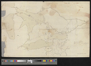
Upper New York, Vermont, and Massachusetts
1669.
Upper Salem and part of the tounds [sic] joining it for two or three miles distance
1670.
Valley of the Hudson River from Fishkill to Teller's Point
1671.
Verplanks
1672.
Verplanks Point
1673.
View from the blockhouse : Dorchester Neck
1674.
View of Dorchester Neck from Enoch Brown's
1675.
View of Dorchester Neck, from the mess house on Fort Hill
1676.
View of Dorchester Neck, from the mess house on Fort Hill
1677.
A view of Fort Harmer at 100 yards distance from projecting angle of a bastion
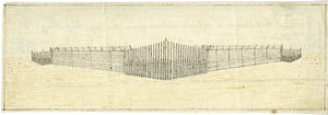
1678.
A view of the Great Bridge near Norfolk in Virginia where the action happened between a detachment of the 14th Regt: & a body...
1679.
Ville de Manathe ou Nouvelle-Yorc
1680.
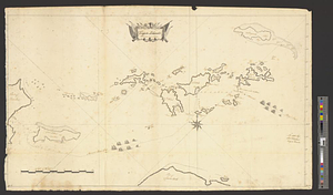
Virgin Islands surveyed in 1774
‹ Prev
Next ›
1
2
…
80
81
82
83
84
85


![Upper Salem and part of the tounds [sic] joining it for two or three miles distance](https://bpldcassets.blob.core.windows.net/derivatives/metadata/commonwealth-oai:8k71sf77k/image_thumbnail_300.jpg)