Toggle navigation
LMEC Home
Exhibitions
Georeferencing
Tools for Teachers
Collections
My Favorites
Sign Up / Log In
Search
Search the map portal
Map Collection
Map Collection
Map Sets
Search
Search
Search for
Search In
All Fields
Creator
Title
Subject
Place
Search All Digital Collections
Advanced Search
1028 Results
My Search
Start Over
More Like
commonwealth-oai:0c487j853
Remove constraint More Like: commonwealth-oai:0c487j853
Filter your Search
Place
North and Central America
988
United States
696
New York
251
Canada
236
Quebec
122
Pennsylvania
69
Saint Lawrence River
66
New Jersey
62
more
Place
»
Topic
United States--History--Revolution, 1775-1783--Maps
305
United States--History--French and Indian War, 1754-1763--Maps
162
New York (State)--Maps
85
Saint Lawrence River--Maps
67
Newport (R.I.)--Maps
27
Pennsylvania--Maps
27
Québec (Québec)--Maps
24
Hudson River (N.Y. and N.J.)--Maps
23
more
Topic
»
Date
Date range begin
–
Date range end
Current results range from
1700
to
1976
View distribution
Creator
Jefferys, Thomas, -1771
30
Bellin, Jacques Nicolas, 1703-1772
29
Holland, Samuel, 1728-1801
29
Montrésor, John, 1736-1799
29
Rocque, Mary Ann
29
Clinton, Henry, Sir, 1738?-1795
19
Robert Sayer and John Bennett (Firm)
17
Orme, Robert, -1781
14
more
Creator
»
Format
Maps/Atlases
1,012
Drawings/Illustrations
11
Documents
5
Manuscripts
3
Prints
1
Georeferenced
Yes
7
No
1,021
Collection
American Revolutionary War-Era Maps
965
William L. Clements Library Collection
909
Norman B. Leventhal Map & Education Center Collection
68
Library and Archives Canada Collection
19
Boston and New England Maps
14
American Antiquarian Society Collection
13
MacLean Collection Map Library
9
Richard H. Brown Revolutionary War Map Collection at Mount Vernon
4
more
Collection
»
Available to use
No known restrictions
70
Creative Commons license
8
Search Constraints
Sort by relevance
relevance
title
date (asc)
date (desc)
Number of results to display per page
20 per page
10
per page
20
per page
50
per page
100
per page
View results as:
grid view
map view
Search Results
41.
Topographical map of the province of New Hampshire, including Montresor's survey of the St. Lawrence and the Kennebec route to...
42.
Channels around the Island of Orleans
43.
Copie de la carte de Monsieur Klam ou l'on voit les sources e la riviere d'Orange suivant de nouvelles observation
44.
Gaspee Bay
45.
Hare Island; Pointe aux Allouettes of Larks Point; English Bank
46.
Manicouagan Shoals; Havre St. Nicholas; Bay of the Seven Islands
47.
Part of the Anticosti Island; Mingan Island; Mignan Harbor
48.
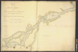
A plan of part of the province of Quebec from the Lake de Deux Montagne to River Batiscant made agreeable to the orders &...
49.
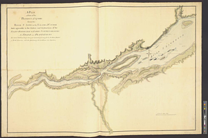
A plan of part of the province of Quebec from the river St. Anne to the island of Coudre made agreeable to the orders and...
50.
A plan of the settled part of Canada reduced from the large survey made in the years 1760 & 1761 by order of General Murray...
51.
Region of Gaspee Bay
52.
Region of Hare Island
53.
The River St. Lawrence from Mal Bay to the Basin of Quebec
54.
The River St. Lawrence from the Basin of Quebec to the Falls of Richeu
55.
The Seven Islands and the Bay
56.
The Shoals of Beauport; The River St. Lawrence from the Basin of Quebec to the Falls of Richeu
57.
St. Paul's Bay; Isle de Coudres; Great Cove; Pt. de Mille Vaches
58.
15 lots of 440a each in Great Lot no. 4 of Macomb purchase : 6600 acres within 2 miles of the St. Lawrence Turnpike & 1/2 mile...
59.
An accurate map of New York in North America from a late survey
60.
A chorographical map of the northern department of North-America : drawn from the latest and most accurate observations
‹ Prev
Next ›
1
2
3
4
5
6
7
…
51
52