Toggle navigation
LMEC Home
Exhibitions
Georeferencing
Tools for Teachers
Collections
My Favorites
Sign Up / Log In
Search
Search the map portal
Map Collection
Map Collection
Map Sets
Search
Search
Search for
Search In
All Fields
Creator
Title
Subject
Place
Search All Digital Collections
Advanced Search
170 Results
My Search
Start Over
More Like
commonwealth:zw131t38b
Remove constraint More Like: commonwealth:zw131t38b
Filter your Search
Place
North and Central America
170
United States
167
Middlesex (county)
52
Suffolk (county)
40
Boston
38
Newton
30
Essex (county)
28
Norfolk (county)
14
more
Place
»
Topic
Landowners--Massachusetts--Boston--Maps
35
Real property--Massachusetts--Boston--Maps
35
Buildings--Massachusetts--Boston--Maps
34
Newton (Mass.)--Maps
29
Real property--Massachusetts--Newton--Maps
21
Landowners--Massachusetts--Newton--Maps
20
Boston (Mass.)--Maps
12
Buildings--Massachusetts--Brookline--Maps
9
more
Topic
»
Date
Date range begin
–
Date range end
Current results range from
1830
to
1987
View distribution
Creator
Bromley, George Washington
38
Bromley, Walter Scott
38
G.W. Bromley & Co.
38
Geo. H. Walker & Co.
24
Hopkins, Griffith Morgan, Jr.
20
L.J. Richards & Co.
15
Richards Map Company
7
Walker Lith. & Pub. Co.
7
more
Creator
»
Format
Maps/Atlases
170
Manuscripts
1
Georeferenced
Yes
1
No
169
Collection
Massachusetts Real Estate Atlases
143
Norman B. Leventhal Map Center Collection
26
Boston and New England Maps
24
Urban Maps
24
Boston Redevelopment Authority Collection
1
Available to use
No known restrictions
27
Search Constraints
Sort by title
relevance
title
date (asc)
date (desc)
Number of results to display per page
20 per page
10
per page
20
per page
50
per page
100
per page
View results as:
grid view
map view
Search Results
81.
Atlas of the city of Quincy, Norfolk County, Massachusetts : compiled from the latest plans and original surveys
82.
Atlas of the city of Salem, Massachusetts
83.
Atlas of the city of Salem, Massachusetts : including also the towns of Marblehead, Peabody, and Danvers
84.
Atlas of the city of Salem, Massachusetts
85.
Atlas of the city of Somerville, Massachusetts
86.
Atlas of the city of Springfield and the town of Longmeadow, Massachusetts
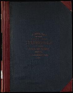
87.
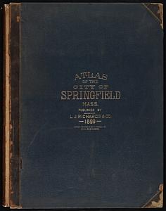
Atlas of the city of Springfield Massachusetts
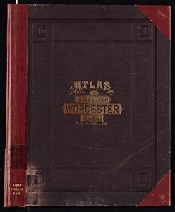
88.
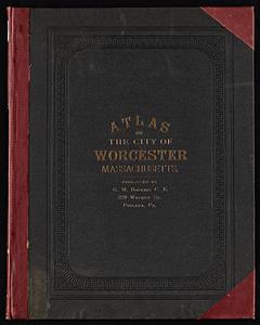
Atlas of the city of Worcester, Massachusetts
89.
Atlas of the city of Worcester, Massachusetts
90.
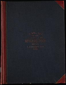
Atlas of the city of Worcester, Worcester County, Massachusetts
91.
Atlas of the county of Suffolk, Massachusetts, vol. 1 : including Boston proper
92.
Atlas of the county of Suffolk, Massachusetts, vol. 2 : late city of Roxbury, now wards 13-14 and 15, city of Boston
93.
Atlas of the county of Suffolk, Massachusetts, vol. 3 : including South Boston and Dorchester
94.
Atlas of the county of Suffolk, Massachusetts, vol. 4 : including East Boston, city of Chelsea, Revere and Winthrop
95.
Atlas of the county of Suffolk, Massachusetts, vol. 5 : West Roxbury, now ward 17, Boston
96.
Atlas of the county of Suffolk, Massachusetts, vol. 6 : including the late city of Charlestown, now wards 20, 21, 22 City of...
97.
Atlas of the county of Suffolk, Massachusetts, vol. 7 : late town of Brighton, now ward 19 of Boston, Massachusetts
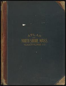
98.
Atlas of the North Shore, Beverly to Magnolia, Essex Co., Massachusetts
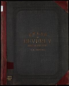
99.
Atlas of the town of Beverly, Massachusetts
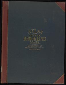
100.
Atlas of the town of Brookline, Norfolk County, Massachusetts
‹ Prev
Next ›
1
2
3
4
5
6
7
8
9