Toggle navigation
LMEC Home
Exhibitions
Georeferencing
Tools for Teachers
Collections
My Favorites
Sign Up / Log In
Search
Search the map portal
Map Collection
Map Collection
Map Sets
Search
Search
Search for
Search In
All Fields
Creator
Title
Subject
Place
Search All Digital Collections
Advanced Search
175 Results
My Search
Start Over
More Like
commonwealth:zw131t38b
Remove constraint More Like: commonwealth:zw131t38b
Filter your Search
Place
North and Central America
175
United States
172
Middlesex (county)
57
Suffolk (county)
40
Boston
38
Massachusetts
36
Newton
35
Essex (county)
28
more
Place
»
Topic
Landowners--Massachusetts--Boston--Maps
35
Real property--Massachusetts--Boston--Maps
35
Buildings--Massachusetts--Boston--Maps
34
Newton (Mass.)--Maps
33
Real property--Massachusetts--Newton--Maps
23
Landowners--Massachusetts--Newton--Maps
20
Boston (Mass.)--Maps
12
Buildings--Massachusetts--Brookline--Maps
9
more
Topic
»
Date
Date range begin
–
Date range end
Current results range from
1830
to
1997
View distribution
Creator
Bromley, George Washington
38
Bromley, Walter Scott
38
G.W. Bromley & Co.
38
Geo. H. Walker & Co.
24
Hopkins, Griffith Morgan, Jr.
20
L.J. Richards & Co.
15
Richards Map Company
7
Walker Lith. & Pub. Co.
7
more
Creator
»
Format
Maps/Atlases
175
Manuscripts
1
Georeferenced
Yes
1
No
174
Collection
Massachusetts Real Estate Atlases
143
Norman B. Leventhal Map & Education Center Collection
31
Boston and New England Maps
29
Urban Maps
29
Applied Geographics, Inc. Records
5
Boston Redevelopment Authority Collection
1
Available to use
No known restrictions
32
Search Constraints
Sort by relevance
relevance
title
date (asc)
date (desc)
Number of results to display per page
20 per page
10
per page
20
per page
50
per page
100
per page
View results as:
grid view
map view
Search Results
21.
Atlas of the city of Newton Massachusetts : assessors block system
22.
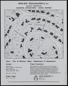
Newton, Mass. parcel mapping project
23.
Plan of Newton Terraces, Newton, Mass
24.
Atlas of Massachusetts
25.
Atlas of Middlesex County. Vol. 1. Cambridge, Somerville, Arlington, Belmont, Watertown, Everett, Malden, Medford, Newton,...
26.
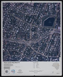
Water system map sheet 76 city of Newton, Mass.
27.
Hancock Woods EGA
28.
Map of Commonwealth Avenue Street Railway Company, and connecting lines : showing route to Norumbega Park
29.
Map of Newton Mass
30.
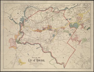
Map of the city of Newton, and surroundings, Mass
31.
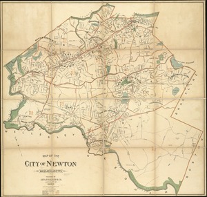
Map of the city of Newton Massachusetts
32.
Map of the town of Newton
33.
Plan of Chestnut Hill, in Brookline & Newton : August 1856
34.
Plan of Newton & Needham
35.
Public works improvements for the year 1995
36.
Zoning city of Newton, Massachusetts
37.
Zoning city of Newton, Massachusetts
38.
Atlas, city of Everett, Middlesex County, Massachusetts
39.
Atlas of Attleboro town, Massachusetts
40.
Atlas of Barnstable County, Massachusetts : towns of Bourne, Mashpee, Falmouth, Sandwich, Barnstable, Yarmouth, Dennis,...
‹ Prev
Next ›
1
2
3
4
5
6
…
8
9