Toggle navigation
LMEC Home
Exhibitions
Georeferencing
Tools for Teachers
Collections
My Favorites
Sign Up / Log In
Search
Search the map portal
Map Collection
Map Collection
Map Sets
Search
Search
Search for
Search In
All Fields
Creator
Title
Subject
Place
Search All Digital Collections
Advanced Search
310 Results
My Search
Start Over
More Like
commonwealth:z603vs367
Remove constraint More Like: commonwealth:z603vs367
Filter your Search
Place
North and Central America
243
United States
161
New York
31
Suffolk (county)
31
Boston
29
Canada
27
North America
27
North Carolina
18
more
Place
»
Topic
North America--Maps--Early works to 1800
18
North Carolina--Maps--Early works to 1800
17
Boston (Mass.)--History--Revolution, 1775-1783--Maps--Early works to 1800
16
South Carolina--Maps--Early works to 1800
13
Virginia--Maps--Early works to 1800
10
Vues d'optique
10
Gibraltar--History--Siege, 1779-1783--Maps--Early works to 1800
9
New York (N.Y.)--Pictorial works--Early works to 1800
9
more
Topic
»
Date
Date range begin
–
Date range end
Current results range from
1590
to
1816
View distribution
Creator
Faden, William, 1749-1836
33
Jefferys, Thomas, -1771
29
Le Rouge, Georges-Louis
23
Des Barres, Joseph F. W. (Joseph Frederick Wallet), 1722-1824
21
Sayer, Robert, 1725-1794
19
Korn, Christoph Heinrich, 1726-1783
11
Raspe, Gabriel Nicolaus, 1712-1785
11
Simcoe, John Graves, 1752-1806
10
more
Creator
»
Format
Maps/Atlases
267
Prints
32
Manuscripts
23
Drawings/Illustrations
9
Books
2
Georeferenced
Yes
13
No
297
Collection
American Revolutionary War-Era Maps
296
Richard H. Brown Revolutionary War Map Collection at Mount Vernon
293
Norman B. Leventhal Map Center Collection
16
Maritime Charts and Atlases
7
Boston and New England Maps
4
Urban Maps
2
New York Public Library Collection
1
Available to use
Creative Commons license
294
No known restrictions
16
Search Constraints
Sort by date (asc)
relevance
title
date (asc)
date (desc)
Number of results to display per page
20 per page
10
per page
20
per page
50
per page
100
per page
View results as:
grid view
map view
Search Results
1.
Americæ pars, nunc Virginia dicta, primum ab Anglis inuenta, sumtibus Dn. Walteri Raleigh, equestris ordinis Viri, Anno Dn̄i....
2.
Virginiae item et Floridae Americae provincarum, nova descriptio
3.
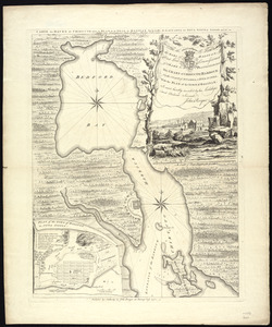
Virginiae partis australis et Floridae partis orientalis, interjacentium[que] regionum nova descriptio
4.
Virginiae partis australis, et Floridae partis orientalis, interjacentiumq[ue] regionum nova descriptio
5.
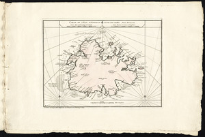
A New description of Carolina
6.
A new map of Carolina
7.
Virginia Marylandia et Carolina in America septentrionali Brittannorum industria excultæ
8.
Carolina
9.
A new mapp of Carolina
10.
Carte de l'isle d'Antigoa une de Isles Antilles
11.
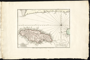
Carte de l'isle de la Jamaique
12.
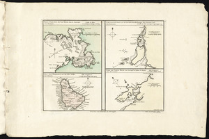
Port, baye cul de sac Royal dans la Martinique -- Isle des Barbades une des Isles Antilles -- Cartagene située sur le Côte de...
13.
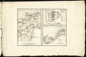
Port de St. Augustin -- Port de la Providence -- La Havane dans l'isle de Cuba -- Baye de Sn. Iago dans l'isle de Cuba -- Port...
14.
Ports de la Nouvelle York et de Pertamboy -- Plan de la ville et du port de Charles Town dans la Caroline Méridionale -- I. de...
15.
Rade et port de Plaisance -- Le Port d'Anapolis dans l'Acadie -- Port de Boston dans la Nouvlle. Angleterre
16.
Carte d'une partie du Nord Amerique dans la quelle se trouvent les isles et les provinces suivantes : l'Isle de la Terre-Neuve...
17.
To the rt. honble. the Earl of Halifax, first lord commissioner of trade & plantations, &c &c this chart of Chibucto Harbour,...
18.
Chart comprizing Greenland with the countries and islands about Baffin's and Hudson's Bays
19.
Chart containing the coasts of California, New Albion, and Russian discoveries to the north : with the peninsula of Kamchatka,...
20.
Chart containing the greater part of the South Sea to the south of the line, with islands dispersed thro' the same
‹ Prev
Next ›
1
2
3
4
5
…
15
16


![Virginiae partis australis et Floridae partis orientalis, interjacentium[que] regionum nova descriptio](https://bpldcassets.blob.core.windows.net/derivatives/images/commonwealth:6t053p120/image_thumbnail_300.jpg)
![Virginiae partis australis, et Floridae partis orientalis, interjacentiumq[ue] regionum nova descriptio](https://bpldcassets.blob.core.windows.net/derivatives/images/commonwealth:st74cw930/image_thumbnail_300.jpg)