Toggle navigation
LMEC Home
Exhibitions
Georeferencing
Tools for Teachers
Collections
My Favorites
Sign Up / Log In
Search
Search the map portal
Map Collection
Map Collection
Map Sets
Search
Search
Search for
Search In
All Fields
Creator
Title
Subject
Place
Search All Digital Collections
Advanced Search
194 Results
My Search
Start Over
More Like
commonwealth:z603vp962
Remove constraint More Like: commonwealth:z603vp962
Filter your Search
Place
North America
170
North and Central America
48
United States
32
Canada
16
South America
9
New England
6
New York
6
West Indies
6
more
Place
»
Topic
North America--Maps--Early works to 1800
180
Great Britain--Colonies--America--Maps--Early works to 1800
16
United States--Maps--Early works to 1800
13
Canada--Maps--Early works to 1800
11
British--America--Maps--Early works to 1800
10
South America--Maps--Early works to 1800
8
France--Colonies--America--Maps--Early works to 1800
6
West Indies--Maps--Early works to 1800
6
more
Topic
»
Date
Date range begin
–
Date range end
Current results range from
1528
to
1850
View distribution
Creator
Mitchell, John, 1711-1768
13
Jefferys, Thomas, -1771
12
Sayer, Robert, 1725-1794
12
Moll, Herman, d. 1732
11
Anville, Jean Baptiste Bourguignon d', 1697-1782
9
Kitchin, Thomas, 1718-1784
6
Gibson, J. (John), active 1750-1792
5
Kitchin, Thomas, d. 1784
5
more
Creator
»
Format
Maps/Atlases
194
Manuscripts
2
Georeferenced
Yes
5
No
189
Collection
American Revolutionary War-Era Maps
130
Norman B. Leventhal Map Center Collection
112
New York Public Library Collection
45
Richard H. Brown Revolutionary War Map Collection at Mount Vernon
18
Mapping Boston Collection
9
Sidney R. Knafel Map Collection at Phillips Academy
8
British Library Collection
3
New-York Historical Society Collection
3
more
Collection
»
Available to use
No known restrictions
106
Creative Commons license
77
Search Constraints
Sort by date (asc)
relevance
title
date (asc)
date (desc)
Number of results to display per page
20 per page
10
per page
20
per page
50
per page
100
per page
View results as:
grid view
map view
Search Results
81.
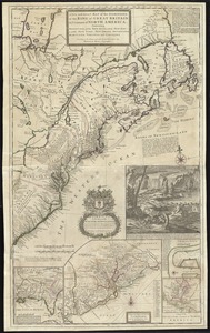
A map of the British and French dominions in North America with the roads, distances, limits, and extent of the settlements,...
82.
A Map of the British and French settlements in North America : (part the second) containing part of New York, Pensilvania, New...
83.
A Map of the British and French settlements in North America
84.
A Map of the British and French settlements in North America
85.
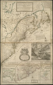
A new and accurate map of the English empire in North America : representing their rightful claim as confirm'd by charters, and...
86.
A new and exact map of the dominions of the King of Great Britain on ye continent of North America : containing Newfoundland,...
87.
A new and exact map of the dominions of the King of Great Britain on ye continent of North America : containing Newfoundland,...
88.
Nieuwe kaart van de Grootbrittannische volkplantingen in Noord America : waar in tevens de Fransche bezittingen en de Landen,...
89.
North America from the French of Mr. D'Anville, improved with the back settlements of Virginia and course of Ohio, illustrated...
90.
North America from the French of Mr. D'Anville, improved with the back settlements of Virginia and course of Ohio, illustrated...
91.
A map of the British and French dominions in North America with the roads, distances, limits, and extent of the settlements,...
92.
America Septentrionalis a Domino d'Anville in Galliis edita nunc in Anglia : Coloniis in interiorem Virginiam deductis nec non...
93.
Amérique septentrionale avec les routes, distances en miles, limites et etablissements françois et anglois
94.
L'Amérique septentrionale
95.
A map of Maryland with the Delaware counties and the southern part of New Jersey &c
96.
America Septentrionalis : concinnata juxta observationes Dnn Academiae Regalis Scientiarum et nonnullorum aliorum, et juxta...
97.
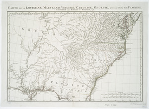
Carte de la Louisiane, Maryland, Virginie, Caroline, Georgie, avec une partie de la Floride
98.
A general map of the middle British colonies in America : Viz. Virginia, Maryland, Delaware, Pensilvania, New-Jersey, New-York,...
99.
A map of New England, and Nova Scotia : with part of New York, Canada, and New Britain & the adjacent islands of New Found...
100.
A new and accurate map of the English empire in North America : representing their rightful claim as confirm'd by charters, and...
‹ Prev
Next ›
1
2
3
4
5
6
7
8
9
10