Toggle navigation
LMEC Home
Exhibitions
Georeferencing
Tools for Teachers
Collections
My Favorites
Sign Up / Log In
Search
Search the map portal
Map Collection
Map Collection
Map Sets
Search
Search
Search for
Search In
All Fields
Creator
Title
Subject
Place
Search All Digital Collections
Advanced Search
140 Results
My Search
Start Over
More Like
commonwealth:z603vk92b
Remove constraint More Like: commonwealth:z603vk92b
Filter your Search
Place
North and Central America
101
Canada
64
United States
55
Suffolk (county)
33
Boston
32
Nova Scotia
22
New England
10
Minas Basin
9
more
Place
»
Topic
Coasts--Nova Scotia--Maps
63
Boston (Mass.)--Buildings, structures, etc--Maps, Manuscript--Early works to 1800
17
Fortification--Massachusetts--Boston--Maps, Manuscript--Early works to 1800
11
Atlantic Coast (N.S.)--Maps
10
Atlantic Coast (New England)--Maps
10
Coasts--Nova Scotia--Pictorial works
10
Boston (Mass.)--History--Siege, 1775-1776--Maps, Manuscript--Early works to 1800
8
Chignecto Bay (N.B. and N.S.)--Maps
8
more
Topic
»
Date
Date range begin
–
Date range end
Current results range from
1758
to
1889
View distribution
Creator
Des Barres, Joseph F. W. (Joseph Frederick Wallet), 1722-1824
94
Montrésor, John, 1736-1799
5
Page, Thomas Hyde, Sir, 1746-1821
4
Birch, C. E. (Charles E.)
2
Browne, William, Captain
2
De Berniere, Henry
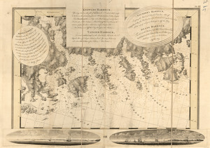
2
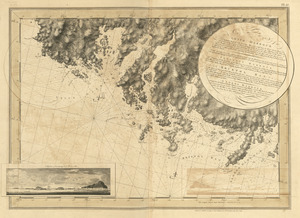
Dessez, L. (Leon)
2
Holland, Samuel, 1728-1801
2
more
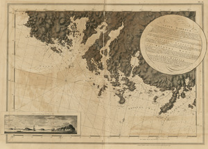
Creator
»
Format
Maps/Atlases
139
Manuscripts
35
Prints
1
Georeferenced
Yes
2
No
138
Collection
American Revolutionary War-Era Maps
136
Library of Congress Collection
136
Norman B. Leventhal Map Center Collection
4
Maritime Charts and Atlases
2
Available to use
Creative Commons license
136
No known restrictions
4
Search Constraints
Sort by date (asc)
relevance
title
date (asc)
date (desc)
Number of results to display per page
20 per page
10
per page
20
per page
50
per page
100
per page
View results as:
grid view
map view
Search Results
81.
Plan d'une partie de la rade de Boston pour faire connaitre le dispositif de ses deffenses
82.
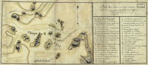
A Temporary project for a star redout [sic] to contain 150 men
83.
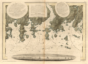
Cape Blowmedown ; Cape Split ; The entrance of Mines Bason ; Isle Haut and Cape Chegnecto
84.
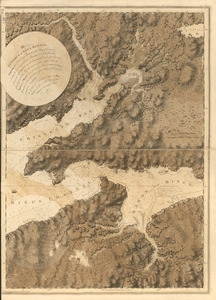
[Chignecto Bay and vicinity]
85.
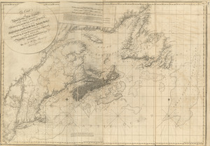
The coast of Nova Scotia, New England, New-York, Jersey, the Gulph and River of St. Lawrence : the islands of Newfoundland,...
86.
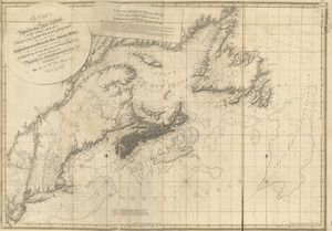
The coast of Nova Scotia, New England, New-York, Jersey, the Gulph and River of St. Lawrence : the islands of Newfoundland,...
87.
Crow Harbor, on the south shore of Chedabuctou Bay
88.
Egmont Harbor
89.
Egmont Harbor
90.
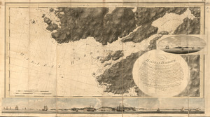
Halifax Harbour ... Catch Harbour ...
91.
The isthmus of Nova Scotia
92.
Keppell Harbour ; Knowles Harbour ; Tangier Harbour ; Saunder's Harbour ; Deane Harbour
93.
Leith Harbour ; Prospect Harbour ; Bristol Bay ; Sambro Harbour
94.
Leith Harbour ; Prospect Harbour ; Bristol Bay ; Sambro Harbour
95.
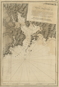
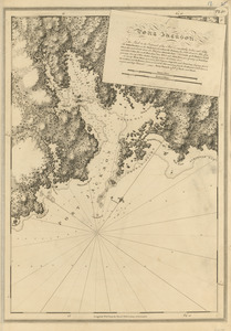
Port Jackson
96.
Port Jackson
97.
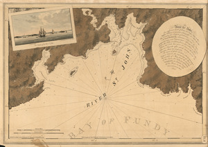
The river St. John
98.
The south east coast of Nova Scotia
99.
Spry Harbour ; Port Pallisser ; Port North ; Port Parker ; Beaver Harbour ; Fleming River
100.
Spry Harbour ; Port Pallisser ; Port North ; Port Parker ; Beaver Harbour ; Fleming River
‹ Prev
Next ›
1
2
3
4
5
6
7
![A Temporary project for a star redout [sic] to contain 150 men](https://bpldcassets.blob.core.windows.net/derivatives/images/commonwealth:z603vj703/image_thumbnail_300.jpg)

![[Chignecto Bay and vicinity]](https://bpldcassets.blob.core.windows.net/derivatives/images/commonwealth:z603vj89t/image_thumbnail_300.jpg)