Toggle navigation
LMEC Home
Exhibitions
Georeferencing
Tools for Teachers
Collections
My Favorites
Sign Up / Log In
Search
Search the map portal
Map Collection
Map Collection
Map Sets
Search
Search
Search for
Search In
All Fields
Creator
Title
Subject
Place
Search All Digital Collections
Advanced Search
182 Results
My Search
Start Over
More Like
commonwealth:z603vh120
Remove constraint More Like: commonwealth:z603vh120
Filter your Search
Place
North and Central America
146
United States
62
Virginia
44
Canada
22
Maryland
21
North America
17
West Indies
17
West Virginia
13
more
Place
»
Topic
Virginia--Maps
47
Maryland--Maps
21
United States--Maps
20
North America--Maps
17
West Indies--Maps
17
Canada--Maps
14
United States--History--Revolution, 1775-1783--Maps
13
West Virginia--Maps
13
more
Topic
»
Date
Date range begin
–
Date range end
Current results range from
1750
to
1925
View distribution
Creator
Reid, John, 1764?-1828
11
Farwell, John Whittemore, 1843-1929
9
Bellin, Jacques Nicolas, 1703-1772
8
Kitchin, Thomas, 1718-1784
8
Carleton, Osgood, 1742-1816
6
Jefferys, Thomas, -1771
6
Tanner, Benjamin, 1775-1848
6
Anderson, Alexander, 1775-1870
5
more
Creator
»
Format
Maps/Atlases
182
Manuscripts
12
Georeferenced
Yes
30
No
152
Collection
American Revolutionary War-Era Maps
147
American Antiquarian Society Collection
138
Norman B. Leventhal Map Center Collection
35
William L. Clements Library Collection
9
Boston and New England Maps
1
Maritime Charts and Atlases
1
Available to use
No known restrictions
35
Creative Commons license
1
Search Constraints
Sort by relevance
relevance
title
date (asc)
date (desc)
Number of results to display per page
20 per page
10
per page
20
per page
50
per page
100
per page
View results as:
grid view
map view
Search Results
41.
Plan of part of the province of Virginia
42.
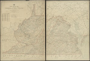
Post route map of the states of Virginia and West Virginia showing post offices with the intermediate distances and mail routes...
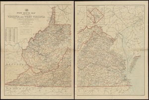
43.
Post route map of the states of Virginia and West Virginia showing post offices with the intermediate distances on mail routes...
44.
Post route map of the states of Virginia and West Virginia showing post offices with the intermediate distances on mail routes...
45.
Post route map of the states of Virginia and West Virginia together with Maryland and Delaware with adjacent parts of...
46.
Scarborough's new county and post office map of Virginia, Maryland, Delaware, and District of Columbia : with complete index...
47.
The seat of war : birds eye view of Virginia, Maryland, Delaware, and the District of Columbia
48.
Seat of war in Virginia and Maryland
49.
Smith's topographical map of Virginia and Maryland
50.
State of Virginia : stations and transmission lines used in public service in 1925 and gaging stations
51.
State of Virginia coal fields and producing districts, September 1919
52.
The state of Virginia from the best authorities
53.
The tourist's pocket map of the state of Virginia : exhibiting its internal improvements, roads, distances &c
54.
Virginia
55.
Yorktown, Virginia, and the surrounding area, ca. 1781
56.
1st. sheet of De Witt's state-map of New York
57.
An accurate map of North America
58.
An accurate map, of the District of Maine : being part of the commonwealth of Massachusetts
59.
An Accurate map of the United States of America. : According to the Treaty of Peace of 1783
60.
An accurate map of the West Indies, : containing the Bahama & Carribe islands, the Great & Little Antilles, with the Leward and...
‹ Prev
Next ›
1
2
3
4
5
6
7
…
9
10