Toggle navigation
LMEC Home
Exhibitions
Georeferencing
Tools for Teachers
Collections
My Favorites
Sign Up / Log In
Search
Search the map portal
Map Collection
Map Collection
Map Sets
Search
Search
Search for
Search In
All Fields
Creator
Title
Subject
Place
Search All Digital Collections
Advanced Search
9025 Results
My Search
Start Over
More Like
commonwealth:xw42t945r
Remove constraint More Like: commonwealth:xw42t945r
Filter your Search
Place
North and Central America
6,256
United States
5,172
Massachusetts
2,201
Europe
1,396
Suffolk (county)
1,355
Boston
1,328
Canada
449
Asia
438
more
Place
»
Topic
Boston (Mass.)--Maps
752
United States--Maps
282
City planning--Massachusetts--Boston--Maps
269
Real property--Massachusetts--Boston--Maps
231
Massachusetts--Maps
170
Landowners--Massachusetts--Boston--Maps
169
Urban renewal--Massachusetts--Boston--Maps
167
Buildings--Massachusetts--Boston--Maps
125
more
Topic
»
Date
Date range begin
–
Date range end
Current results range from
1482
to
2023
View distribution
Creator
United States. Hydrographic Office
595
Boston Redevelopment Authority
268
O.H. Bailey & Co
148
Des Barres, Joseph F. W. (Joseph Frederick Wallet), 1722-1824
124
United States. Post Office Dept
120
Ptolemy, 2nd cent
100
Walling, Henry Francis, 1825-1888
94
Geological Survey (U.S.)
87
more
Creator
»
Format
Maps/Atlases
8,964
Manuscripts
215
Prints
56
Books
36
Objects/Artifacts
10
Drawings/Illustrations
9
Posters
6
Georeferenced
Yes
885
No
8,140
Collection
Norman B. Leventhal Map & Education Center Collection
8,737
Boston and New England Maps
2,486
Urban Maps
2,255
Maritime Charts and Atlases
1,087
American Revolutionary War-Era Maps
648
Boston Redevelopment Authority Collection
306
Massachusetts Real Estate Atlases
38
Mapping Boston Collection
28
more
Collection
»
Available to use
No known restrictions
8,785
Creative Commons license
78
Search Constraints
Sort by relevance
relevance
title
date (asc)
date (desc)
Number of results to display per page
20 per page
10
per page
20
per page
50
per page
100
per page
View results as:
grid view
map view
Search Results
241.
Roxbury-N. Dorchester G.N.R.P. r-50 : proposed circulation
242.
Shawmut Avenue
243.
South Boston urban renewal area r-51 : proposed circulation
244.
South Boston urban renewal area r-51 : existing circulation
245.
South Cove urban renewal area R-92 : disposition plan
246.
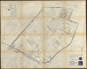
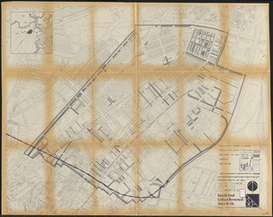
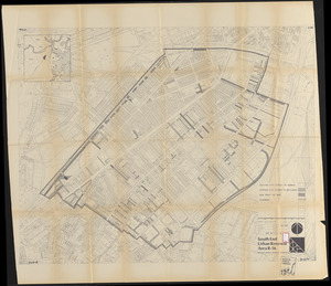
South End urban renewal area R-56 : proposed rights-of-way
247.
South End urban renewal area R-56 : proposed rights-of-way
248.
South End urban renewal area R-56 : proposed rights-of-way
249.
Washington Park urban renewal area : report on feasibility of placing utility services underground
250.
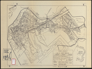
Zoning districts city of Boston map 3 East Boston
251.
Annexation map
252.
Atlas of the city of Boston : Boston proper : from actual surveys and official plans
253.
Atlas of the city of Boston : Boston proper and Back Bay : from actual surveys and official plans
254.
Atlas of the city of Boston : Boston proper and Back Bay : from actual surveys and official plans
255.
Atlas of the city of Boston : Boston proper and Back Bay : from actual surveys and official plans
256.
Atlas of the city of Boston : Boston proper and Back Bay : from actual surveys and official plans
257.
Atlas of the city of Boston : Boston proper and Back Bay : from actual surveys and official plans
258.
Atlas of the city of Boston : Boston proper and Back Bay : from actual surveys and official plans
259.
Atlas of the city of Boston : Boston proper and Back Bay : from actual surveys and official plans
260.
Atlas of the city of Boston : Boston proper and Roxbury : from actual surveys and official plans
‹ Prev
Next ›
1
2
…
9
10
11
12
13
14
15
16
17
…
451
452