Toggle navigation
LMEC Home
Exhibitions
Georeferencing
Tools for Teachers
Collections
My Favorites
Sign Up / Log In
Search
Search the map portal
Map Collection
Map Collection
Map Sets
Search
Search
Search for
Search In
All Fields
Creator
Title
Subject
Place
Search All Digital Collections
Advanced Search
8655 Results
My Search
Start Over
More Like
commonwealth:x633f874r
Remove constraint More Like: commonwealth:x633f874r
Filter your Search
Place
North and Central America
5,891
United States
4,807
Massachusetts
2,068
Europe
1,392
Suffolk (county)
1,041
Boston
1,014
Canada
449
Asia
436
more
Place
»
Topic
Boston (Mass.)--Maps
582
United States--Maps
279
Real property--Massachusetts--Boston--Maps
175
Massachusetts--Maps
161
Landowners--Massachusetts--Boston--Maps
133
North America--Maps--Early works to 1800
107
New England--Maps
101
Europe--Maps
79
more
Topic
»
Date
Date range begin
–
Date range end
Current results range from
1482
to
2023
View distribution
Creator
United States. Hydrographic Office
595
O.H. Bailey & Co
148
Des Barres, Joseph F. W. (Joseph Frederick Wallet), 1722-1824
123
United States. Post Office Dept
120
Ptolemy, 2nd cent
100
Walling, Henry Francis, 1825-1888
94
Jefferys, Thomas, -1771
87
Geological Survey (U.S.)
86
more
Creator
»
Format
Maps/Atlases
8,595
Manuscripts
218
Prints
56
Books
36
Objects/Artifacts
10
Drawings/Illustrations
8
Posters
5
Georeferenced
Yes
870
No
7,785
Collection
Norman B. Leventhal Map & Education Center Collection
8,644
Boston and New England Maps
2,221
Urban Maps
1,991
Maritime Charts and Atlases
1,082
American Revolutionary War-Era Maps
624
Boston Redevelopment Authority Collection
87
Richard H. Brown Revolutionary War Map Collection at Mount Vernon
4
MacLean Collection Map Library
3
more
Collection
»
Available to use
No known restrictions
8,502
Creative Commons license
53
Search Constraints
Sort by relevance
relevance
title
date (asc)
date (desc)
Number of results to display per page
20 per page
10
per page
20
per page
50
per page
100
per page
View results as:
grid view
map view
Search Results
4841.
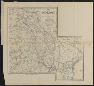
Die Moldau
4842.
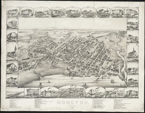
Moncton : New Brunswick
4843.
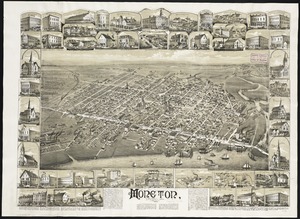
Moncton, New Brunswick
4844.
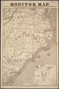
Monitor map, showing the whole seacoast from Chesapeake Bay, down to Savannah harbor, and the whole country between Richmond &...
4845.
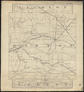
Monroe County, Wis.
4846.
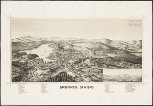
Monson, Maine
4847.
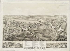
Monson, Mass : 1879
4848.
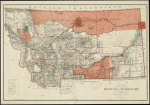
Montana Territory
4849.
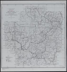
Montezuma National Forest, Colorado
4850.
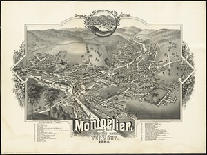
Montpelier, county seat of Washington County & capital of Vermont : 1884
4851.
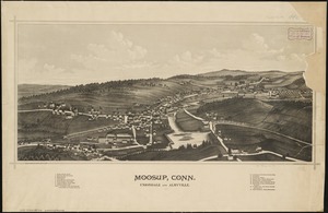
Moosup, Conn., Uniondale and Almyville
4852.
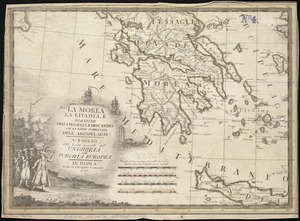
La Morea, la Livadia, e porzione della Tessaglia, e Dell' Epiro con la parte occidentale dell' arcipelago : V. Foglio della...
4853.
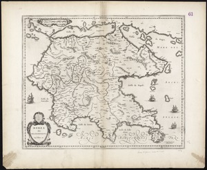
Morea olim Peloponnesus
4854.
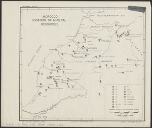
Morocco, location of mineral resources
4855.
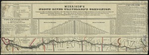
Morrison's North River traveller's companion : containing a map of the Hudson River, with a description of the adjoining...
4856.
Morrisville, Bucks County, Pennsylvania, 1893
4857.
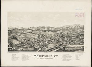
Morrisville, Vt : looking southwest
4858.
Most popular mode of commuting : 2014-2018 American Community Survey
4859.
Motor routes that intersect the Bay Circuit
4860.
Mount Auburn, avenues and paths
‹ Prev
Next ›
1
2
…
239
240
241
242
243
244
245
246
247
…
432
433