Toggle navigation
LMEC Home
Exhibitions
Georeferencing
Tools for Teachers
Collections
My Favorites
Sign Up / Log In
Search
Search the map portal
Map Collection
Map Collection
Map Sets
Search
Search
Search for
Search In
All Fields
Creator
Title
Subject
Place
Search All Digital Collections
Advanced Search
8834 Results
My Search
Start Over
More Like
commonwealth:x059gf098
Remove constraint More Like: commonwealth:x059gf098
Filter your Search
Place
North and Central America
6,011
United States
4,860
Massachusetts
2,079
Europe
1,396
Suffolk (county)
1,046
Boston
1,019
Canada
454
Asia
441
more
Place
»
Topic
Boston (Mass.)--Maps
586
United States--Maps
282
North America--Maps--Early works to 1800
240
Real property--Massachusetts--Boston--Maps
175
Massachusetts--Maps
162
Landowners--Massachusetts--Boston--Maps
133
New England--Maps
102
Europe--Maps
79
more
Topic
»
Date
Date range begin
–
Date range end
Current results range from
1482
to
2023
View distribution
Creator
United States. Hydrographic Office
595
O.H. Bailey & Co
148
Des Barres, Joseph F. W. (Joseph Frederick Wallet), 1722-1824
123
United States. Post Office Dept
120
Ptolemy, 2nd cent
100
Walling, Henry Francis, 1825-1888
94
Jefferys, Thomas, -1771
92
Sayer, Robert, 1725-1794
87
more
Creator
»
Format
Maps/Atlases
8,774
Manuscripts
218
Prints
56
Books
36
Objects/Artifacts
10
Drawings/Illustrations
8
Posters
5
Georeferenced
Yes
872
No
7,962
Collection
Norman B. Leventhal Map & Education Center Collection
8,704
Boston and New England Maps
2,234
Urban Maps
2,023
Maritime Charts and Atlases
1,083
American Revolutionary War-Era Maps
740
Boston Redevelopment Authority Collection
87
MacLean Collection Map Library
60
New York Public Library Collection
32
more
Collection
»
Available to use
No known restrictions
8,556
Creative Commons license
111
Search Constraints
Sort by relevance
relevance
title
date (asc)
date (desc)
Number of results to display per page
20 per page
10
per page
20
per page
50
per page
100
per page
View results as:
grid view
map view
Search Results
1.
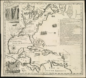
The territory over possession of which France and England are disputing
2.
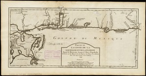
A map of Louisiana and of the River Mississipi
3.
Carte de la Louisiane et des pays voisins : dédiée à M. Rouillé, sécretaire d'État, ayant le Département de la marine
4.
Amerikanisch-Spanischer kriegsschauplatz
5.
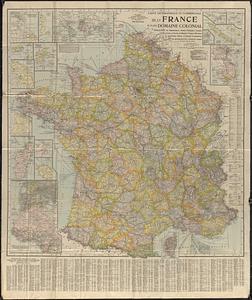
Carte geographique et commerciale de la France et de son domaine colonial : indiquant les départements, routes principales,...
6.
North America
7.
The s.e. coast of the United States and its relation to the British West India colonies
8.
The West India Islands and adjacent territory showing British possessions south of the United States
9.
Amplissimae regionis Mississipi seu provinciae Ludovicianae â R.P. Ludovico Hennepin Francisc. Miss. in America septentrionali...
10.
Amplissimae regionis Mississipi seu Provinciae Ludovicianae â R.P. Ludovico Hennepin Francisc Miss in America Septentrionali...
11.
Carte de la Louisiane et du cours de Mississipi
12.
The coast of West Florida and Louisiana
13.
A new map of the country of Louisiana and of ye river Missisipi in North America discou'd by Mons. de la Salle in ye years...
14.
Partie de la coste de la Louisiane et de la Floride : depuis le Mississipi jusqua St. Marc d'Apalache
15.
An accurate map of North America : describing and distinguishing the British, Spanish and French dominions on this great...
16.
An accurate map of North America : describing and distinguishing the British and Spanish dominions of this great continent;...
17.
America : with those known parts in that unknowne worlde both people and manner of buildings discribed and inlarged
18.
America septentrionalis
19.
America Septentrionalis
20.
America Septentrionalis : concinnata juxta observationes Dnn Academiae Regalis Scientiarum et nonnullorum aliorum, et juxta...
‹ Prev
Next ›
1
2
3
4
5
…
441
442