Toggle navigation
LMEC Home
Exhibitions
Georeferencing
Tools for Teachers
Collections
My Favorites
Sign Up / Log In
Search
Search the map portal
Map Collection
Map Collection
Map Sets
Search
Search
Search for
Search In
All Fields
Creator
Title
Subject
Place
Search All Digital Collections
Advanced Search
8945 Results
My Search
Start Over
More Like
commonwealth:wd3768095
Remove constraint More Like: commonwealth:wd3768095
Filter your Search
Place
North and Central America
6,176
United States
5,080
Massachusetts
2,216
Europe
1,396
Suffolk (county)
1,210
Boston
1,183
Canada
450
Asia
438
more
Place
»
Topic
Boston (Mass.)--Maps
752
United States--Maps
282
Massachusetts--Maps
235
Real property--Massachusetts--Boston--Maps
195
City planning--Massachusetts--Boston--Maps
158
Landowners--Massachusetts--Boston--Maps
142
New England--Maps
106
North America--Maps--Early works to 1800
103
more
Topic
»
Date
Date range begin
–
Date range end
Current results range from
1482
to
2023
View distribution
Creator
United States. Hydrographic Office
595
Boston Redevelopment Authority
162
O.H. Bailey & Co
148
Des Barres, Joseph F. W. (Joseph Frederick Wallet), 1722-1824
124
United States. Post Office Dept
120
Ptolemy, 2nd cent
100
Walling, Henry Francis, 1825-1888
95
Geological Survey (U.S.)
92
more
Creator
»
Format
Maps/Atlases
8,884
Manuscripts
217
Prints
56
Books
36
Objects/Artifacts
10
Drawings/Illustrations
8
Posters
6
Ephemera
1
Georeferenced
Yes
894
No
8,051
Collection
Norman B. Leventhal Map & Education Center Collection
8,772
Boston and New England Maps
2,411
Urban Maps
2,143
Maritime Charts and Atlases
1,087
American Revolutionary War-Era Maps
662
Boston Redevelopment Authority Collection
195
Mapping Boston Collection
29
William L. Clements Library Collection
23
more
Collection
»
Available to use
No known restrictions
8,708
Creative Commons license
80
Search Constraints
Sort by relevance
relevance
title
date (asc)
date (desc)
Number of results to display per page
20 per page
10
per page
20
per page
50
per page
100
per page
View results as:
grid view
map view
Search Results
2661.
The County of Essex from actual survey
2662.
The County of Kerry
2663.
County of Ohio, West Virginia
2664.
Course of canal to Charlestown Millpond
2665.
The course of Delaware River from Philadelphia to Chester, exhibiting the several works erected by the rebels to defend its...
2666.
Course of the river Mississipi, from the Balise to Fort Chartres : taken on an expedition to the Illinois, in the latter end of...
2667.
Crawford County, Wis.
2668.
Crawfordsville, Ind : 1871
2669.
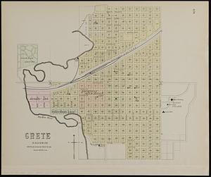
Crete, Saline Co
2670.
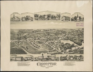
Crompton, Rhode Island : 1889
2671.
The cross and the crescent--Harper's pictorial map of the seat of the war in the east
2672.
Crow Harbour : on the south shore of Chedabuctou Bay
2673.
Cruchley's map of Central Europe, shewing the new political divisions : also all the railways, &c.
2674.
Cruchley's new plan of London shewing all the new and intended improvements to the present time
2675.
Cruchley's new plan of London shewing all the new and intended improvements to the present time
2676.
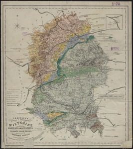
Cruchley's railway & telegraphic map of Wiltshire : showing all the railways & names of stations, also the telegraph lines &...
2677.
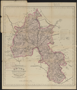
Cruchley's railway and station map of Oxford : showing all the railways & names of stations, also the turnpike roads,...
2678.
Cruchley's travelling railway map of England & Wales
2679.
Cruchley's visitors' map of the environs of Norwich, from the Ordnance Survey
2680.
Cuatreros
‹ Prev
Next ›
1
2
…
130
131
132
133
134
135
136
137
138
…
447
448