Toggle navigation
LMEC Home
Exhibitions
Georeferencing
Tools for Teachers
Collections
My Favorites
Sign Up / Log In
Search
Search the map portal
Map Collection
Map Collection
Map Sets
Search
Search
Search for
Search In
All Fields
Creator
Title
Subject
Place
Search All Digital Collections
Advanced Search
8885 Results
My Search
Start Over
More Like
commonwealth:wd376722h
Remove constraint More Like: commonwealth:wd376722h
Filter your Search
Place
North and Central America
6,116
United States
5,032
Massachusetts
2,129
Europe
1,396
Suffolk (county)
1,207
Boston
1,180
Canada
456
Asia
438
more
Place
»
Topic
Boston (Mass.)--Maps
752
United States--Maps
282
Real property--Massachusetts--Boston--Maps
195
Massachusetts--Maps
168
City planning--Massachusetts--Boston--Maps
157
Landowners--Massachusetts--Boston--Maps
142
New England--Maps
127
North America--Maps--Early works to 1800
103
more
Topic
»
Date
Date range begin
–
Date range end
Current results range from
1482
to
2023
View distribution
Creator
United States. Hydrographic Office
595
Boston Redevelopment Authority
162
O.H. Bailey & Co
148
Des Barres, Joseph F. W. (Joseph Frederick Wallet), 1722-1824
124
United States. Post Office Dept
120
Ptolemy, 2nd cent
100
Walling, Henry Francis, 1825-1888
94
Geological Survey (U.S.)
87
more
Creator
»
Format
Maps/Atlases
8,825
Manuscripts
215
Prints
56
Books
36
Objects/Artifacts
10
Drawings/Illustrations
8
Posters
5
Georeferenced
Yes
885
No
8,000
Collection
Norman B. Leventhal Map & Education Center Collection
8,727
Boston and New England Maps
2,363
Urban Maps
2,142
Maritime Charts and Atlases
1,083
American Revolutionary War-Era Maps
653
Boston Redevelopment Authority Collection
191
Mapping Boston Collection
20
American Antiquarian Society Collection
16
more
Collection
»
Available to use
No known restrictions
8,668
Creative Commons license
73
Search Constraints
Sort by relevance
relevance
title
date (asc)
date (desc)
Number of results to display per page
20 per page
10
per page
20
per page
50
per page
100
per page
View results as:
grid view
map view
Search Results
5661.
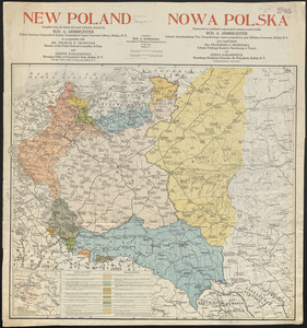
New Poland = Nowa Polska
5662.
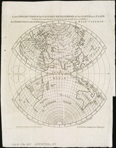
A new projection of the Eastern Hemisphere of the earth on a plane : shewing the proportions of its several parts nearly as on...
5663.
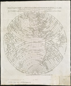
A new projection of the Western Hemisphere of the Earth on a plane : shewing the proportions of its several parts nearly as on...
5664.
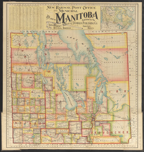
New railway, post office and municipal map of Manitoba : compiled from the latest government surveys and other official sources
5665.
A new sectional map of Florida
5666.
New sectional map of the state of Illinois : compiled from the United States surveys, also exhibiting the internal...
5667.
New topographical atlas of surveys Plymouth County, together with town of Cohasset, Norfolk County, Massachusetts ... based...
5668.
New topographical atlas of the county of Hampden, Massachusetts : containing thirty-three double page maps, in colors, of the...
5669.
New topographical atlas of the county of Worcester, Massachusetts : containing fifty-five double page maps, in colors, of the...
5670.
The new war map of Maryland, part of Virginia & Pennsylvania
5671.
The new war map of Virginia, Maryland & Pennsylvania
5672.
New York
5673.
New York : From Bergen Hill, Hoboken
5674.
New York
5675.
New York, 1695
5676.
New York City : the business center of the borough of Manhattan
5677.
New York City : (southern part)
5678.
[New York City, from the Battery to 63rd street]
5679.
New York city map
5680.
New York City map
‹ Prev
Next ›
1
2
…
280
281
282
283
284
285
286
287
288
…
444
445


![[New York City, from the Battery to 63rd street]](https://bpldcassets.blob.core.windows.net/derivatives/images/commonwealth:4m90f274r/image_thumbnail_300.jpg)

