Toggle navigation
LMEC Home
Exhibitions
Georeferencing
Tools for Teachers
Collections
My Favorites
Sign Up / Log In
Search
Search the map portal
Map Collection
Map Collection
Map Sets
Search
Search
Search for
Search In
All Fields
Creator
Title
Subject
Place
Search All Digital Collections
Advanced Search
8939 Results
My Search
Start Over
More Like
commonwealth:wd376704k
Remove constraint More Like: commonwealth:wd376704k
Filter your Search
Place
North and Central America
6,170
United States
5,074
Massachusetts
2,209
Europe
1,396
Suffolk (county)
1,215
Boston
1,188
Canada
450
Asia
438
more
Place
»
Topic
Boston (Mass.)--Maps
752
United States--Maps
282
Massachusetts--Maps
235
Real property--Massachusetts--Boston--Maps
195
City planning--Massachusetts--Boston--Maps
162
Landowners--Massachusetts--Boston--Maps
142
New England--Maps
106
North America--Maps--Early works to 1800
103
more
Topic
»
Date
Date range begin
–
Date range end
Current results range from
1482
to
2023
View distribution
Creator
United States. Hydrographic Office
595
Boston Redevelopment Authority
168
O.H. Bailey & Co
148
Des Barres, Joseph F. W. (Joseph Frederick Wallet), 1722-1824
124
United States. Post Office Dept
120
Ptolemy, 2nd cent
100
Walling, Henry Francis, 1825-1888
95
Geological Survey (U.S.)
92
more
Creator
»
Format
Maps/Atlases
8,878
Manuscripts
217
Prints
56
Books
36
Objects/Artifacts
10
Drawings/Illustrations
8
Posters
5
Ephemera
1
Georeferenced
Yes
894
No
8,045
Collection
Norman B. Leventhal Map & Education Center Collection
8,766
Boston and New England Maps
2,410
Urban Maps
2,148
Maritime Charts and Atlases
1,083
American Revolutionary War-Era Maps
657
Boston Redevelopment Authority Collection
200
David Judkins Weaver Papers
22
Mapping Boston Collection
22
more
Collection
»
Available to use
No known restrictions
8,714
Creative Commons license
73
Search Constraints
Sort by relevance
relevance
title
date (asc)
date (desc)
Number of results to display per page
20 per page
10
per page
20
per page
50
per page
100
per page
View results as:
grid view
map view
Search Results
6541.
Plan of corner of Centry & Beacon St's -- 1741
6542.
Plan of cottage lots on Littlejohn's Island, Casco Bay, about 7 1/2 miles northeast of Portland
6543.
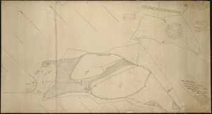
Plan of Deer Island
6544.
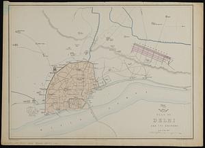
Plan of Delhi and its environs
6545.
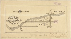
Plan of development, south end of Eagle Mine
6546.
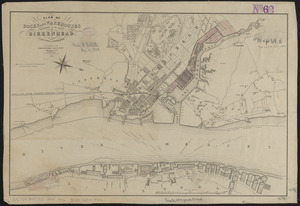
Plan of docks and warehouses proposed to be made at Birkenhead, in the County of Chester
6547.
Plan of Dorchester
6548.
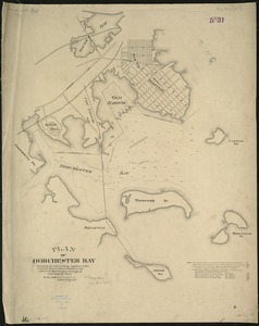
Plan of Dorchester Bay showing its surroundings together with current observations to illustrate the effect of discharging...
6549.
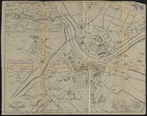
Plan of Dresden
6550.
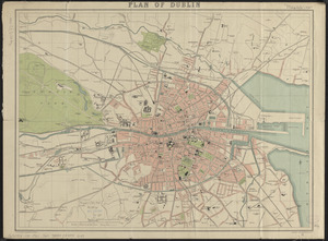
Plan of Dublin
6551.
Plan of dwelling houses & house lots, in West Roxbury
6552.
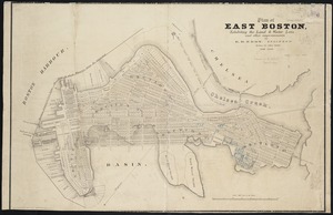
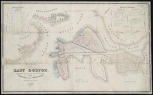
Plan of East Boston
6553.
Plan of East Boston : shewing the location of a mill dam and other improvements
6554.
Plan of East Boston : exhibiting the land & water lots and other improvements
6555.
Plan of East Boston showing the land and water lots sold and unsold : also all buildings and other improvements
6556.
Plan of East Boston showing the land and water lots sold and unsold, also all buildings and other improvements
6557.
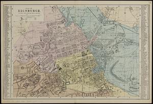
Plan of Edinburgh : divided into quarter mile squares
6558.
[Plan of engagement with British ships near Red Bank, New Jersey, October 22 and 23, 1777]
6559.
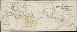
Plan of estate of the Boston Land Co. and surroundings
6560.
[Plan of estates on Charles River bridge, Prince Street, Lynn Court, and Snow Hill Street]
‹ Prev
Next ›
1
2
…
324
325
326
327
328
329
330
331
332
…
446
447


![[Plan of engagement with British ships near Red Bank, New Jersey, October 22 and 23, 1777]](https://bpldcassets.blob.core.windows.net/derivatives/images/commonwealth:9s161d76t/image_thumbnail_300.jpg)
![[Plan of estates on Charles River bridge, Prince Street, Lynn Court, and Snow Hill Street]](https://bpldcassets.blob.core.windows.net/derivatives/images/commonwealth:x059c9615/image_thumbnail_300.jpg)