Search Constraints
Search Results
2861. Europe
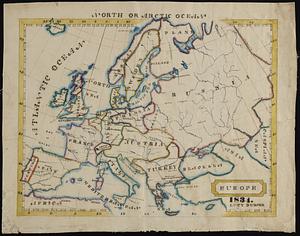
2862. Europe
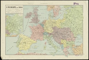
2864. L'Europe de 1914

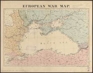
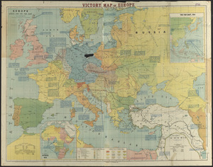
2867. European war map
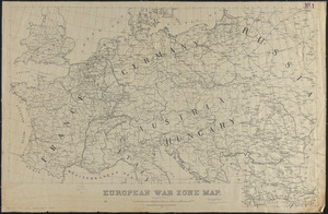
2868. European war zone map
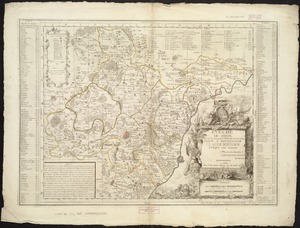
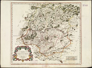
2869. Evêché de Dijon

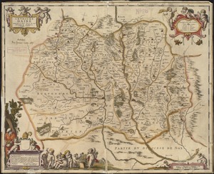
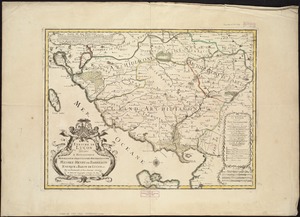
2871. L'Evesche d'Aire
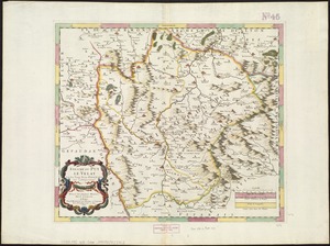
2875. Evesché de La Rochelle