Toggle navigation
LMEC Home
Exhibitions
Georeferencing
Tools for Teachers
Collections
My Favorites
Sign Up / Log In
Search
Search the map portal
Map Collection
Map Collection
Map Sets
Search
Search
Search for
Search In
All Fields
Creator
Title
Subject
Place
Search All Digital Collections
Advanced Search
8772 Results
My Search
Start Over
More Like
commonwealth:wd3762152
Remove constraint More Like: commonwealth:wd3762152
Filter your Search
Place
North and Central America
6,003
United States
4,907
Massachusetts
2,151
Europe
1,396
Suffolk (county)
1,047
Boston
1,020
Canada
450
Asia
438
more
Place
»
Topic
Boston (Mass.)--Maps
590
United States--Maps
282
Massachusetts--Maps
235
Real property--Massachusetts--Boston--Maps
175
Landowners--Massachusetts--Boston--Maps
133
New England--Maps
104
North America--Maps--Early works to 1800
103
Europe--Maps
79
more
Topic
»
Date
Date range begin
–
Date range end
Current results range from
1482
to
2023
View distribution
Creator
United States. Hydrographic Office
595
O.H. Bailey & Co
148
Des Barres, Joseph F. W. (Joseph Frederick Wallet), 1722-1824
123
United States. Post Office Dept
120
Ptolemy, 2nd cent
100
Walling, Henry Francis, 1825-1888
95
Geological Survey (U.S.)
92
Jefferys, Thomas, -1771
85
more
Creator
»
Format
Maps/Atlases
8,711
Manuscripts
217
Prints
56
Books
36
Objects/Artifacts
10
Drawings/Illustrations
8
Posters
5
Ephemera
1
Georeferenced
Yes
879
No
7,893
Collection
Norman B. Leventhal Map & Education Center Collection
8,737
Boston and New England Maps
2,279
Urban Maps
2,023
Maritime Charts and Atlases
1,083
American Revolutionary War-Era Maps
635
Boston Redevelopment Authority Collection
90
Applied Geographics, Inc. Records
20
David Judkins Weaver Papers
18
more
Collection
»
Available to use
No known restrictions
8,595
Creative Commons license
51
Search Constraints
Sort by relevance
relevance
title
date (asc)
date (desc)
Number of results to display per page
20 per page
10
per page
20
per page
50
per page
100
per page
View results as:
grid view
map view
Search Results
1.
Atlas of Massachusetts
2.
Atlas of Essex County, Massachusetts
3.
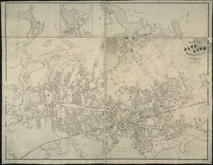
Atlas of the city of Lynn, Massachusetts : including, also, the towns of Swampscott and Saugus : based upon, and carefully...
4.
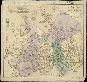
City of Lynn, Mass
5.
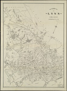
City of Lynn, Mass
6.
Map of Lynn and Saugus : settled in 1629
7.
Map of Swampscott, Nahant & Saugus
8.
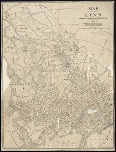
Map of the city of Lynn
9.
Map of the city of Lynn Massachusetts
10.
Plan of the city of Lynn Mass. from actual surveys
11.
Richards standard atlas of the city of Lynn and the towns of Swampscott, Saugus and Nahant, Massachusetts : from official...
12.
The 100th anniversary map of Abraham Lincoln's visit to Massachusetts, September 11-23, 1848
13.
Annexation map
14.
Automobile map of Massachusetts : central section
15.
Bicycle map of Massachusetts
16.
Bicycle map of north eastern Massachusetts
17.
Bicycle map of south eastern Massachusetts
18.
Bicycle map of western Massachusetts
19.
Boston & Gloucester Steamboat Co. : summer season 1889
20.
Boston and its suburban drives
‹ Prev
Next ›
1
2
3
4
5
…
438
439