Toggle navigation
LMEC Home
Exhibitions
Georeferencing
Tools for Teachers
Collections
My Favorites
Sign Up / Log In
Search
Search the map portal
Map Collection
Map Collection
Map Sets
Search
Search
Search for
Search In
All Fields
Creator
Title
Subject
Place
Search All Digital Collections
Advanced Search
8752 Results
My Search
Start Over
More Like
commonwealth:w9505s867
Remove constraint More Like: commonwealth:w9505s867
Filter your Search
Place
North and Central America
5,977
United States
4,871
Massachusetts
2,079
Europe
1,396
Suffolk (county)
1,046
Boston
1,019
Canada
498
Asia
438
more
Place
»
Topic
Boston (Mass.)--Maps
586
United States--Maps
282
Real property--Massachusetts--Boston--Maps
175
Massachusetts--Maps
162
Landowners--Massachusetts--Boston--Maps
133
North America--Maps--Early works to 1800
108
New England--Maps
102
Canada--Maps--Early works to 1800
79
more
Topic
»
Date
Date range begin
–
Date range end
Current results range from
1482
to
2023
View distribution
Creator
United States. Hydrographic Office
595
O.H. Bailey & Co
148
Des Barres, Joseph F. W. (Joseph Frederick Wallet), 1722-1824
123
United States. Post Office Dept
120
Ptolemy, 2nd cent
100
Walling, Henry Francis, 1825-1888
94
Jefferys, Thomas, -1771
87
Geological Survey (U.S.)
86
more
Creator
»
Format
Maps/Atlases
8,692
Manuscripts
217
Prints
56
Books
36
Objects/Artifacts
10
Drawings/Illustrations
8
Posters
5
Georeferenced
Yes
870
No
7,882
Collection
Norman B. Leventhal Map & Education Center Collection
8,696
Boston and New England Maps
2,233
Urban Maps
2,023
Maritime Charts and Atlases
1,083
American Revolutionary War-Era Maps
670
Boston Redevelopment Authority Collection
87
MacLean Collection Map Library
38
Library and Archives Canada Collection
8
more
Collection
»
Available to use
No known restrictions
8,553
Creative Commons license
56
Search Constraints
Sort by relevance
relevance
title
date (asc)
date (desc)
Number of results to display per page
20 per page
10
per page
20
per page
50
per page
100
per page
View results as:
grid view
map view
Search Results
5301.
New topographical atlas of surveys Plymouth County, together with town of Cohasset, Norfolk County, Massachusetts ... based...
5302.
New topographical atlas of the county of Hampden, Massachusetts : containing thirty-three double page maps, in colors, of the...
5303.
New topographical atlas of the county of Worcester, Massachusetts : containing fifty-five double page maps, in colors, of the...
5304.
The new war map of Maryland, part of Virginia & Pennsylvania
5305.
The new war map of Virginia, Maryland & Pennsylvania
5306.
New York
5307.
New York : From Bergen Hill, Hoboken
5308.
New York
5309.
New York, 1695
5310.
New York City : the business center of the borough of Manhattan
5311.
New York City : (southern part)
5312.
[New York City, from the Battery to 63rd street]
5313.
New York city map
5314.
New York City map
5315.
New York, New Haven & Hartford Railroad : Old Colony system
5316.
The New York, New Haven & Hartford Railroad and connections
5317.
A New Yorker's idea of the United States of America
5318.
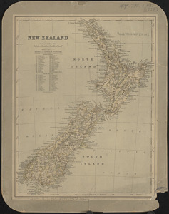
New Zealand
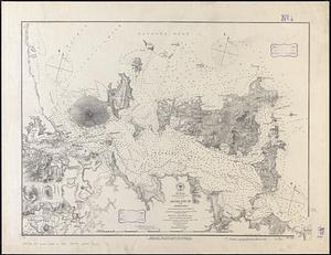
5319.
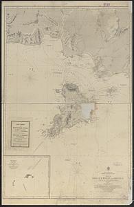
New Zealand, Middle and South Islands
5320.
New Zealand, North Island - east coast, Auckland Hr. and approaches : from British surveys in 1849-55 ; republication of Brit....
‹ Prev
Next ›
1
2
…
262
263
264
265
266
267
268
269
270
…
437
438


![[New York City, from the Battery to 63rd street]](https://bpldcassets.blob.core.windows.net/derivatives/images/commonwealth:4m90f274r/image_thumbnail_300.jpg)