Toggle navigation
LMEC Home
Exhibitions
Georeferencing
Tools for Teachers
Collections
My Favorites
Sign Up / Log In
Search
Search the map portal
Map Collection
Map Collection
Map Sets
Search
Search
Search for
Search In
All Fields
Creator
Title
Subject
Place
Search All Digital Collections
Advanced Search
8786 Results
My Search
Start Over
More Like
commonwealth:tt44pw23k
Remove constraint More Like: commonwealth:tt44pw23k
Filter your Search
Place
North and Central America
6,017
United States
4,934
Massachusetts
2,089
Europe
1,396
Suffolk (county)
1,136
Boston
1,109
Canada
449
Asia
438
more
Place
»
Topic
Boston (Mass.)--Maps
607
United States--Maps
282
Real property--Massachusetts--Boston--Maps
253
Landowners--Massachusetts--Boston--Maps
169
Massachusetts--Maps
163
City planning--Massachusetts--Boston--Maps
118
North America--Maps--Early works to 1800
103
New England--Maps
102
more
Topic
»
Date
Date range begin
–
Date range end
Current results range from
1482
to
2023
View distribution
Creator
United States. Hydrographic Office
595
O.H. Bailey & Co
148
Des Barres, Joseph F. W. (Joseph Frederick Wallet), 1722-1824
123
United States. Post Office Dept
120
Boston Redevelopment Authority
119
Ptolemy, 2nd cent
100
Walling, Henry Francis, 1825-1888
94
Geological Survey (U.S.)
87
more
Creator
»
Format
Maps/Atlases
8,726
Manuscripts
215
Prints
56
Books
36
Objects/Artifacts
10
Drawings/Illustrations
8
Posters
5
Georeferenced
Yes
870
No
7,916
Collection
Norman B. Leventhal Map & Education Center Collection
8,695
Boston and New England Maps
2,288
Urban Maps
2,078
Maritime Charts and Atlases
1,083
American Revolutionary War-Era Maps
616
Boston Redevelopment Authority Collection
142
Massachusetts Real Estate Atlases
36
Applied Geographics, Inc. Records
1
Available to use
No known restrictions
8,608
Creative Commons license
47
Search Constraints
Sort by relevance
relevance
title
date (asc)
date (desc)
Number of results to display per page
20 per page
10
per page
20
per page
50
per page
100
per page
View results as:
grid view
map view
Search Results
6321.
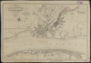
Plan of docks and warehouses proposed to be made at Birkenhead, in the County of Chester
6322.
Plan of Dorchester
6323.
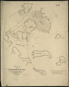
Plan of Dorchester Bay showing its surroundings together with current observations to illustrate the effect of discharging...
6324.
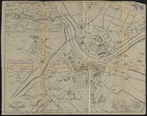
Plan of Dresden
6325.
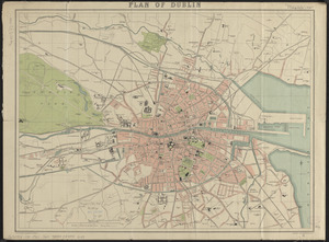
Plan of Dublin
6326.
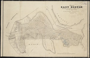
Plan of East Boston
6327.
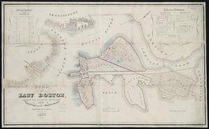
Plan of East Boston : exhibiting the land & water lots and other improvements
6328.
Plan of East Boston showing the land and water lots sold and unsold : also all buildings and other improvements
6329.
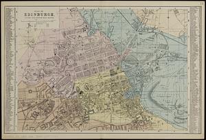
Plan of Edinburgh : divided into quarter mile squares
6330.
[Plan of engagement with British ships near Red Bank, New Jersey, October 22 and 23, 1777]
6331.
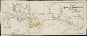
Plan of estate of the Boston Land Co. and surroundings
6332.
[Plan of estates on Charles River bridge, Prince Street, Lynn Court, and Snow Hill Street]
6333.
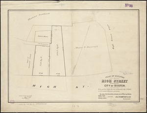
Plan of estates on High Street belonging to the City of Boston : to be sold by public auction on Thursday May 21st 1868, at 12...
6334.
Plan of estates on Suffolk Street district, belonging to the City of Boston, to be sold at public auction, on Saturday, May 11,...
6335.
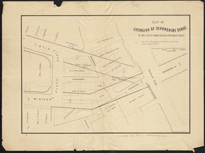
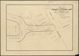
Plan of extension of Devonshire Street, by two routes through Otis and Winthrop Places
6336.
Plan of extension of Devonshire Street connecting Otis & Winthrop Places
6337.
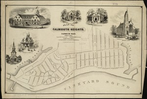
Plan of Falmouth Heights, Falmouth Mass., April 1st 1873
6338.
[Plan of farm lands in Chelsea belonging to the Bill family]
6339.
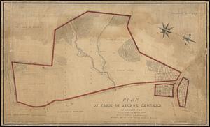
Plan of farm of George Leonard in Shrewsbury
6340.
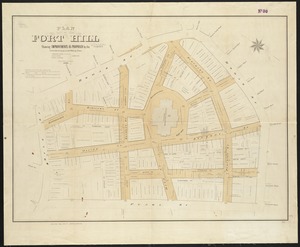
Plan of Fort Hill showing improvements as proposed by the Committee on laying out and widening streets
‹ Prev
Next ›
1
2
…
313
314
315
316
317
318
319
320
321
…
439
440


![[Plan of engagement with British ships near Red Bank, New Jersey, October 22 and 23, 1777]](https://bpldcassets.blob.core.windows.net/derivatives/images/commonwealth:9s161d76t/image_thumbnail_300.jpg)
![[Plan of estates on Charles River bridge, Prince Street, Lynn Court, and Snow Hill Street]](https://bpldcassets.blob.core.windows.net/derivatives/images/commonwealth:x059c9615/image_thumbnail_300.jpg)

![[Plan of farm lands in Chelsea belonging to the Bill family]](https://bpldcassets.blob.core.windows.net/derivatives/images/commonwealth:1257bc069/image_thumbnail_300.jpg)