Toggle navigation
LMEC Home
Exhibitions
Georeferencing
Tools for Teachers
Collections
My Favorites
Sign Up / Log In
Search
Search the map portal
Map Collection
Map Collection
Map Sets
Search
Search
Search for
Search In
All Fields
Creator
Title
Subject
Place
Search All Digital Collections
Advanced Search
8995 Results
My Search
Start Over
More Like
commonwealth:tt44pv95m
Remove constraint More Like: commonwealth:tt44pv95m
Filter your Search
Place
North and Central America
6,226
United States
5,142
Massachusetts
2,145
Europe
1,396
Suffolk (county)
1,341
Boston
1,314
Canada
449
Asia
438
more
Place
»
Topic
Boston (Mass.)--Maps
752
United States--Maps
282
City planning--Massachusetts--Boston--Maps
253
Real property--Massachusetts--Boston--Maps
253
Landowners--Massachusetts--Boston--Maps
169
Massachusetts--Maps
166
Urban renewal--Massachusetts--Boston--Maps
150
New England--Maps
104
more
Topic
»
Date
Date range begin
–
Date range end
Current results range from
1482
to
2023
View distribution
Creator
United States. Hydrographic Office
595
Boston Redevelopment Authority
256
O.H. Bailey & Co
148
Des Barres, Joseph F. W. (Joseph Frederick Wallet), 1722-1824
124
United States. Post Office Dept
120
Ptolemy, 2nd cent
100
Walling, Henry Francis, 1825-1888
94
Geological Survey (U.S.)
87
more
Creator
»
Format
Maps/Atlases
8,935
Manuscripts
215
Prints
56
Books
36
Objects/Artifacts
10
Drawings/Illustrations
8
Posters
5
Georeferenced
Yes
886
No
8,109
Collection
Norman B. Leventhal Map & Education Center Collection
8,725
Boston and New England Maps
2,465
Urban Maps
2,248
Maritime Charts and Atlases
1,083
American Revolutionary War-Era Maps
638
Boston Redevelopment Authority Collection
297
Massachusetts Real Estate Atlases
38
Mapping Boston Collection
20
more
Collection
»
Available to use
No known restrictions
8,772
Creative Commons license
70
Search Constraints
Sort by relevance
relevance
title
date (asc)
date (desc)
Number of results to display per page
20 per page
10
per page
20
per page
50
per page
100
per page
View results as:
grid view
map view
Search Results
1701.
Bloomingville, [Ohio]
1702.
Bloys
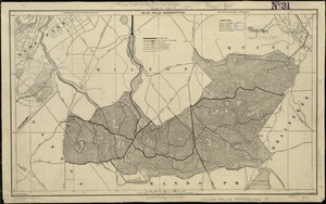
1703.
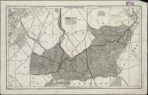
Blue Hills Reservation
1704.
Blue Hills Reservation
1705.
Bocche del Fiume Negro et Isole di Cape Verde : possedute dà Portoghesi, scoperte da Antonio di Nola Genouese nell' anno 1440,...
1706.
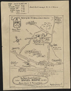
The Boone-Lincoln community where Daniel Boone was born, Berks County, Pennsylvania
1707.
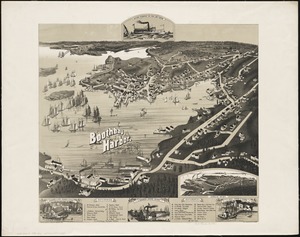
Boothbay Harbor, Lincoln County, Maine : 1885
1708.
Bosnien und Dalmatien : vorzüglich nach österreichischen aufnahmen, mit benutzung von a Boués reisen (Montenegro nach...
1709.
The Bosphorus : from French and British surveys in 1853, corrected to 1872
1710.
Boston : 1899
1711.
Boston
1712.
Boston : bird's-eye view from the north
1713.
Boston
1714.
Boston & Gloucester Steamboat Co. : summer season 1889
1715.
Boston after the great fire
1716.
Boston after the great fire
1717.
Boston Bay
1718.
Boston Bay and Harbor
1719.
Boston City Hall ninth floor plan
1720.
Boston Clinton Fitchburg and Mansfield Framingham Lowell Railroads, and connections
‹ Prev
Next ›
1
2
…
82
83
84
85
86
87
88
89
90
…
449
450
![Bloomingville, [Ohio]](https://bpldcassets.blob.core.windows.net/derivatives/images/commonwealth:1v53jx86m/image_thumbnail_300.jpg)