Toggle navigation
LMEC Home
Exhibitions
Georeferencing
Tools for Teachers
Collections
My Favorites
Sign Up / Log In
Search
Search the map portal
Map Collection
Map Collection
Map Sets
Search
Search
Search for
Search In
All Fields
Creator
Title
Subject
Place
Search All Digital Collections
Advanced Search
532 Results
My Search
Start Over
More Like
commonwealth:q524nd00k
Remove constraint More Like: commonwealth:q524nd00k
Filter your Search
Place
North and Central America
467
United States
328
New York
41
Canada
26
Florida
20
Mississippi
18
Alabama
17
Chatham (county)
16
more
Place
»
Topic
Manuscript maps--Early works to 1800
138
Manuscript maps
21
Gulf Coast (U.S.)--Maps, Manuscript--Early works to 1800
12
Fortification--New York (State)--New York--Maps--Early works to 1800
11
New York (N.Y.)--Buildings, structures, etc--Maps, Manuscript--Early works to 1800
9
New York (N.Y.)--Maps, Manuscript--Early works to 1800
8
Saratoga Campaign, N.Y., 1777--Maps, Manuscript--Early works to 1800
8
Coasts--Florida--Maps--Early works to 1800
7
more
Topic
»
Date
Date range begin
–
Date range end
Current results range from
1700
to
1899
View distribution
Creator
Hills, John, (Surveyor)
18
Montrésor, John, 1736-1799
16
Dumont de Montigny
14
Bingham, William, 1752-1804
12
Adlum, John, 1759-1836
10
Washington, George, 1732-1799
9
Faden, William, 1749-1836
7
Morgan, Benjamin, (Draftsman)
7
more
Creator
»
Format
Maps/Atlases
530
Manuscripts
526
Objects/Artifacts
2
Georeferenced
Yes
6
No
526
Collection
American Revolutionary War-Era Maps
527
Library of Congress Collection
485
Newberry Library Collection
39
Maritime Charts and Atlases
32
Urban Maps
17
British Library Collection
5
Boston and New England Maps
4
Norman B. Leventhal Map & Education Center Collection
3
Available to use
Creative Commons license
490
No known restrictions
3
Search Constraints
Sort by relevance
relevance
title
date (asc)
date (desc)
Number of results to display per page
20 per page
10
per page
20
per page
50
per page
100
per page
View results as:
grid view
map view
Search Results
181.
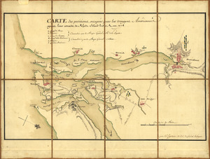
Carte des positions occupeés par les trouppes Américaines apres leur retraite de Rhode Island le 30 Aout 1778
182.
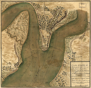
Carte detaillée de West Point sur la rivière d'York au confluent des Rivières de Pamunkey et Matapony
183.
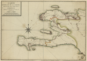
Carte générale de la partie française de l'isle de St. Domingue
184.
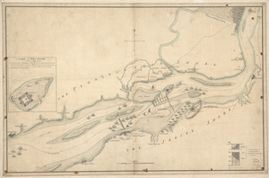
Chart showing the depth of the James and York rivers as they enter Chesapeake Bay, with towns adjacent
185.
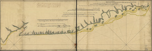
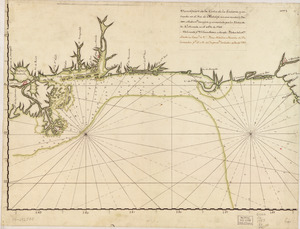
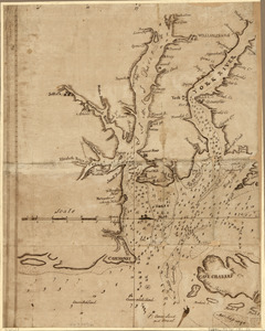
The coast of Florida from the Dry Tortugas to the old Cape
186.
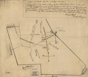
Colchester, May the: 6:th: Day: A.D.: 1765
187.
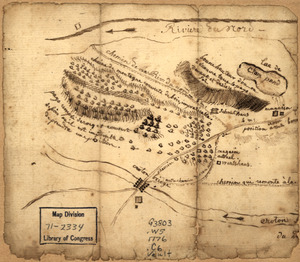
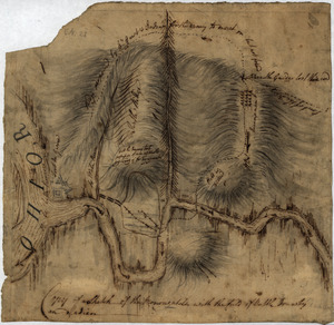
Copy of a sketch of the Monongahela, with the field of battle
188.
Copy of a survey return'd by Mr. Sam Lewis, surveyor of Botetourt Coun[t]y : Surveyed for George Washington 2950 acres of land...
189.
Costa de Cuba desde Cabo de San Antonio a la bahía de Cardenas
190.
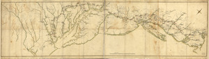
Côte de York-town à Boston: Marches de l'armée
191.
Country between North River and Croton River
192.
The course of Delaware River from Philadelphia to Chester, exhibiting the several works erected by the rebels to defend its...
193.
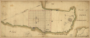
Crown Point & part of Lake Champlain
194.
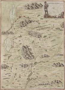
Derrotero hecho por Antonia Vélez y Escalante, misionero para mejor conocimiento de las misiones, pueblos de indios y...
195.
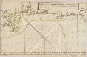
Descripción de la costa de la Luciana y entrada en el Río de Micisipi con sus sondas y bajos, nuebamente correjido y...
196.
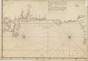
Descripción de la costa de la Luciana y entrada en el Río de Micisipi con sus sondas y bajos nuebamte. corregido y enmendado...
197.
Descripción de la costa de la Luciana y entrada en el Río de Micisipi con sus sondas y bajos, nuebamte. correjido y enmendado...
198.
Descripcion de la costa de Tierra Firme desde el Cavo de la Agusa hasta la Barra de Palmas diga de la Trinidad : Con todas las...
199.
Descripcion de la costa de Tierra Firme desde el Rio de la Empalizada hasta Cavo de Clara : Por las latitudes y longitudes de...
200.
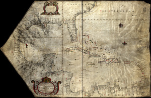
Descripcion de las costas, islas placeres, i bajos delas, Indias Occidentales
‹ Prev
Next ›
1
2
…
6
7
8
9
10
11
12
13
14
…
26
27

![Copy of a survey return'd by Mr. Sam Lewis, surveyor of Botetourt Coun[t]y](https://bpldcassets.blob.core.windows.net/derivatives/images/commonwealth:q524nf40r/image_thumbnail_300.jpg)