Toggle navigation
LMEC Home
Exhibitions
Georeferencing
Tools for Teachers
Collections
My Favorites
Sign Up / Log In
Search
Search the map portal
Map Collection
Map Collection
Map Sets
Search
Search
Search for
Search In
All Fields
Creator
Title
Subject
Place
Search All Digital Collections
Advanced Search
370 Results
My Search
Start Over
More Like
commonwealth:q524mv470
Remove constraint More Like: commonwealth:q524mv470
Filter your Search
Place
North and Central America
303
United States
232
Pennsylvania
40
New York
37
Virginia
37
Canada
31
North America
31
Suffolk (county)
31
more
Place
»
Topic
Virginia--Maps--Early works to 1800
38
Pennsylvania--Maps--Early works to 1800
37
North America--Maps--Early works to 1800
23
Maryland--Maps--Early works to 1800
22
United States--History--French and Indian War, 1754-1763--Maps--Early works to 1800
17
Boston (Mass.)--History--Revolution, 1775-1783--Maps--Early works to 1800
16
New Jersey--Maps--Early works to 1800
12
Middle Atlantic States--Maps--Early works to 1800
10
more
Topic
»
Date
Date range begin
–
Date range end
Current results range from
1590
to
1799
View distribution
Creator
Jefferys, Thomas, -1771
37
Faden, William, 1749-1836
34
Sayer, Robert, 1725-1794
24
Le Rouge, Georges-Louis
23
Des Barres, Joseph F. W. (Joseph Frederick Wallet), 1722-1824
22
Korn, Christoph Heinrich, 1726-1783
11
Raspe, Gabriel Nicolaus, 1712-1785
11
Robert Sayer and John Bennett (Firm)
10
more
Creator
»
Format
Maps/Atlases
327
Prints
32
Manuscripts
25
Drawings/Illustrations
9
Books
2
Georeferenced
Yes
16
No
354
Collection
American Revolutionary War-Era Maps
352
Richard H. Brown Revolutionary War Map Collection at Mount Vernon
293
Norman B. Leventhal Map & Education Center Collection
42
MacLean Collection Map Library
18
New York Public Library Collection
8
Maritime Charts and Atlases
5
Boston and New England Maps
4
British Library Collection
3
more
Collection
»
Available to use
Creative Commons license
306
No known restrictions
44
Search Constraints
Sort by relevance
relevance
title
date (asc)
date (desc)
Number of results to display per page
20 per page
10
per page
20
per page
50
per page
100
per page
View results as:
grid view
map view
Search Results
41.
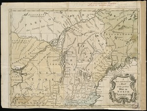
A new and accurate map of the present war in North America
42.
A map of Maryland with the Delaware counties and the southern part of New Jersey &c
43.
A New map of the province of Maryland in North America
44.
The states of Maryland and Delaware, from the latest surveys
45.
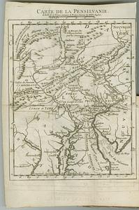
Carte de la Pensilvanie
46.
Carte de la Pensylvanie et du Nouveau Jersey
47.
[Environs of Philadelphia]
48.
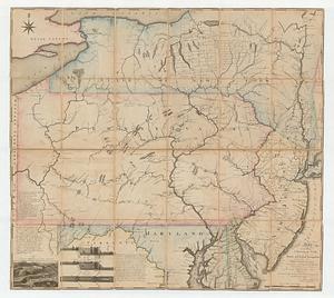
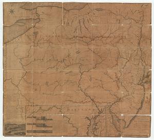
An exact map of New Jersey, Pensylvania [sic], New York, Maryland & Virginia, from the latest surveys
49.
Karte von Neu England, Neu Yorck und Pensilvanien : sur Allgemeinen historie der reisen
50.
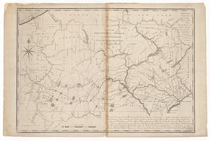
A map exhibiting a general view of the roads and inland navigation of Pennsylvania, and part of the adjacent states :...
51.
A map exhibiting a general view of the roads and inland navigation of Pennsylvania, and part of the adjacent states :...
52.
A map exhibiting a general view of the roads and inland navigation of Pennsylvania, and part of the adjacent states :...
53.
Map of Pennsylvania
54.
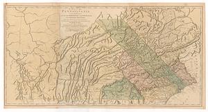
A map of Pennsylvania exhibiting not only the improved parts of that Province, but also its extensive frontiers : laid down...
55.
A map of Pennsylvania exhibiting not only the improved parts of that province, but also its extensive frontiers : laid down...
56.
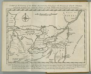
A map of the country of the Five Nations, belonging to the province of New York; and of the lakes near which the nations of far...
57.
A map of the country on the Ohio and Muskingum Rivers : shewing the situation of the Indian towns with respect to the army...
58.
A map of the state of Pennsylvania
59.
A map of the state of Pennsylvania
60.
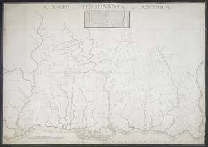
A MAPP OF PENSYLVANIA IN AMERICA
‹ Prev
Next ›
1
2
3
4
5
6
7
…
18
19


![[Environs of Philadelphia]](https://bpldcassets.blob.core.windows.net/derivatives/images/commonwealth:7h149x76d/image_thumbnail_300.jpg)
![An exact map of New Jersey, Pensylvania [sic], New York, Maryland & Virginia, from the latest surveys](https://bpldcassets.blob.core.windows.net/derivatives/images/commonwealth:z603vp67m/image_thumbnail_300.jpg)