Toggle navigation
LMEC Home
Exhibitions
Georeferencing
Tools for Teachers
Collections
My Favorites
Sign Up / Log In
Search
Search the map portal
Map Collection
Map Collection
Map Sets
Search
Search
Search for
Search In
All Fields
Creator
Title
Subject
Place
Search All Digital Collections
Advanced Search
366 Results
My Search
Start Over
More Like
commonwealth:q524mt59k
Remove constraint More Like: commonwealth:q524mt59k
Filter your Search
Place
North and Central America
279
United States
165
North America
81
South America
62
Mesoamerica
56
America
51
New York
31
Suffolk (county)
31
more
Place
»
Topic
America--Maps--Early works to 1800
72
Western Hemisphere--Maps--Early works to 1800
51
North America--Maps--Early works to 1800
23
Boston (Mass.)--History--Revolution, 1775-1783--Maps--Early works to 1800
16
Vues d'optique
10
Gibraltar--History--Siege, 1779-1783--Maps--Early works to 1800
9
New York (N.Y.)--Pictorial works--Early works to 1800
9
United States--History--French and Indian War, 1754-1763--Maps--Early works to 1800
9
more
Topic
»
Date
Date range begin
–
Date range end
Current results range from
1520
to
1799
View distribution
Creator
Faden, William, 1749-1836
33
Jefferys, Thomas, -1771
28
Le Rouge, Georges-Louis
24
Des Barres, Joseph F. W. (Joseph Frederick Wallet), 1722-1824
21
Sayer, Robert, 1725-1794
19
Korn, Christoph Heinrich, 1726-1783
11
Raspe, Gabriel Nicolaus, 1712-1785
11
Simcoe, John Graves, 1752-1806
10
more
Creator
»
Format
Maps/Atlases
323
Prints
32
Manuscripts
23
Drawings/Illustrations
9
Books
2
Georeferenced
Yes
14
No
352
Collection
American Revolutionary War-Era Maps
300
Richard H. Brown Revolutionary War Map Collection at Mount Vernon
293
Norman B. Leventhal Map Center Collection
59
Sidney R. Knafel Map Collection at Phillips Academy
10
Boston and New England Maps
4
New York Public Library Collection
4
Mapping Boston Collection
3
Maritime Charts and Atlases
2
more
Collection
»
Available to use
Creative Commons license
300
No known restrictions
56
Search Constraints
Sort by relevance
relevance
title
date (asc)
date (desc)
Number of results to display per page
20 per page
10
per page
20
per page
50
per page
100
per page
View results as:
grid view
map view
Search Results
61.
Novissima et accuratissima totius Americae descriptio
62.
Novissima et accuratissima totius Americae descriptio
63.
Novissima et accuratissima totius Americae descriptio
64.
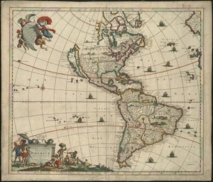
Novus orbis sive America Meridionalis et Septentrionalis, per sua regna, provincias et insulas iuxta observationes et...
65.
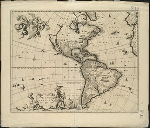
Nov[us] orbis sive America septentrionalis, divisa per sua regna provinc. et insul : cura et opera
66.
Oceani occidetalis seu terre nove tabula
67.
Oceani occidetalis seu terre nove tabula
68.
Quarte partie du monde
69.
Recentissima novi orbis sive Americae septentrionalis et meridionalis tabula
70.
Recentissima novi orbis sive Americae septentrionalis et meridionalis tabula
71.
Recentissima novi orbis, sive Americae Septentrionalis et Meridionalis tabula
72.
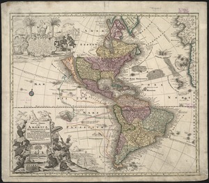
Tipus orbis uniuersalis iuxta Ptolomei cosmographi traditionem et Americi Vespucii alior[um]que
73.
Tipus orbis uniuersalis iuxta Ptolomei cosmographi traditionem et Americi Vespucii alior[um]que
74.
Totius Americae septentrionalis et meridionalis novissima repræsentatio quam ex singulis recantium geographorum tabulis...
75.
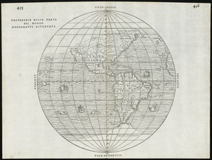
Universale della parte del mondo nuovamente ritrovata
76.
[A map of part of Pennsylvania & Maryland intended to shew, at one view, the several places proposed for opening a...
77.
Abriss der stadt Gibraltar und der darinn befindlichen festen platze, nebst dem meerbusen von Algesiras
78.
An accurate map of His Majesty's province of New-Hampshire in New England : taken from actual surveys of all the inhabited...
79.
An accurate map of Staten Island : with that part of New York, Long Island and the Jerseys, which is the rendesvous of the two...
80.
An accurate map of the country round Boston in New England from the best authorities
‹ Prev
Next ›
1
2
3
4
5
6
7
8
…
18
19

![Nov[us] orbis sive America septentrionalis, divisa per sua regna provinc. et insul](https://bpldcassets.blob.core.windows.net/derivatives/images/commonwealth:wd376505f/image_thumbnail_300.jpg)


![Tipus orbis uniuersalis iuxta Ptolomei cosmographi traditionem et Americi Vespucii alior[um]que](https://bpldcassets.blob.core.windows.net/derivatives/images/commonwealth:j3860806q/image_thumbnail_300.jpg)
![Tipus orbis uniuersalis iuxta Ptolomei cosmographi traditionem et Americi Vespucii alior[um]que](https://bpldcassets.blob.core.windows.net/derivatives/images/commonwealth:3f463b65n/image_thumbnail_300.jpg)

![[A map of part of Pennsylvania & Maryland intended to shew, at one view, the several places proposed for opening a communication between the waters of the Delaware & Chesopeak Bays]](https://bpldcassets.blob.core.windows.net/derivatives/images/commonwealth:z603vt12v/image_thumbnail_300.jpg)


