Toggle navigation
LMEC Home
Exhibitions
Georeferencing
Tools for Teachers
Collections
My Favorites
Sign Up / Log In
Search
Search the map portal
Map Collection
Map Collection
Map Sets
Search
Search
Search for
Search In
All Fields
Creator
Title
Subject
Place
Search All Digital Collections
Advanced Search
8950 Results
My Search
Start Over
More Like
commonwealth:m900rc53b
Remove constraint More Like: commonwealth:m900rc53b
Filter your Search
Place
North and Central America
6,181
United States
5,097
Massachusetts
2,167
Europe
1,396
Suffolk (county)
1,296
Boston
1,269
Canada
449
Asia
438
more
Place
»
Topic
Boston (Mass.)--Maps
753
United States--Maps
282
Real property--Massachusetts--Boston--Maps
254
City planning--Massachusetts--Boston--Maps
212
Landowners--Massachusetts--Boston--Maps
170
Massachusetts--Maps
166
Urban renewal--Massachusetts--Boston--Maps
118
New England--Maps
104
more
Topic
»
Date
Date range begin
–
Date range end
Current results range from
1482
to
2023
View distribution
Creator
United States. Hydrographic Office
595
Boston Redevelopment Authority
216
O.H. Bailey & Co
148
Des Barres, Joseph F. W. (Joseph Frederick Wallet), 1722-1824
124
United States. Post Office Dept
120
Ptolemy, 2nd cent
100
Walling, Henry Francis, 1825-1888
94
Geological Survey (U.S.)
87
more
Creator
»
Format
Maps/Atlases
8,889
Manuscripts
215
Prints
56
Books
36
Objects/Artifacts
10
Drawings/Illustrations
9
Posters
5
Georeferenced
Yes
885
No
8,065
Collection
Norman B. Leventhal Map & Education Center Collection
8,726
Boston and New England Maps
2,417
Urban Maps
2,200
Maritime Charts and Atlases
1,083
American Revolutionary War-Era Maps
642
Boston Redevelopment Authority Collection
248
Massachusetts Real Estate Atlases
38
Mapping Boston Collection
21
more
Collection
»
Available to use
No known restrictions
8,723
Creative Commons license
71
Search Constraints
Sort by relevance
relevance
title
date (asc)
date (desc)
Number of results to display per page
20 per page
10
per page
20
per page
50
per page
100
per page
View results as:
grid view
map view
Search Results
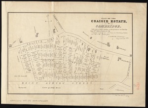
6761.
Plan of the Craigie Estate in Cambridge : to be sold at public auction on the premises on Thursday June 27th, 1850 at 4 o'clock...
6762.
Plan of the Dighton and Somerset rail road
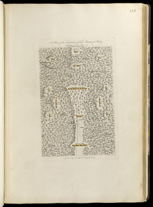
6763.
A plan of the disposition of the advanced party consisting of 400 men : to defend the workers in making the road
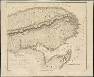
6764.
Plan of the district of Gaspé
6765.
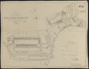
Plan of the East and West India Docks, 15th April 1841
6766.
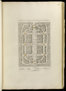
A plan of the encampment of the detachment from the little Meadows
6767.
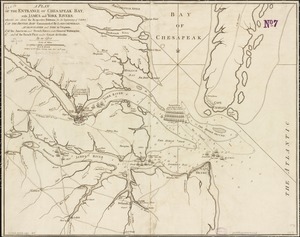
A plan of the entrance of Chesapeak Bay, with James and York rivers : wherein are shewn the respective positions (in the...
6768.
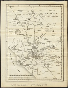
A plan of the environs of ancient Rome
6769.
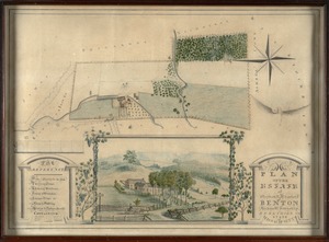
Plan of the estate of Stephen R. and Charles F. Benton, Richmond Township, Berkshire Co., state of Massachusetts
6770.
Plan of the estate of the late Richd. F. Ha[nn]on, Esq., Petersburg, Va. (northern portion, in lots)
6771.
A plan of the field of battle and disposition of the troops, as they were on the march at the time of the attack on the 9th of...
6772.
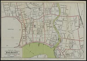
Plan of the foreign settlements, Shanghai : drawn for Crow's "Handbook for China"
6773.
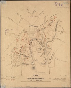
Plan of the Gettysburg battle ground
6774.
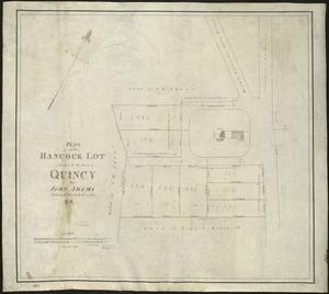
Plan of the Hancock lot given to the town of Quincy by John Adams, formerly President of the U.S
6775.
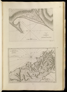
Plan of the harbour of San Fernando de Omoa ; A map of the Isthmus of Panama, drawn from Spanish surveys
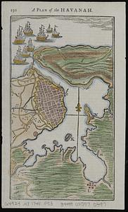
6776.
A plan of the Havanah
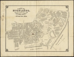
6777.
Plan of the Highlands, the property of the Vineyard Grove Co : Cottage City, Mass
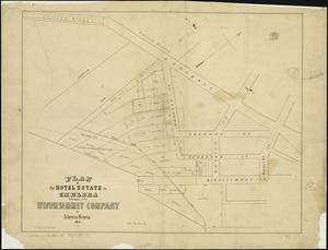
6778.
Plan of the hotel estate in Chelsea belonging to the Winnisimmet Company
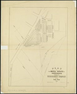
6779.
Plan of the Hotel Estate in Chelsea belonging to the Winnisimmet Company
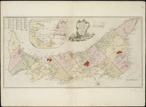
6780.
A plan of the island of St. John with the divisions of the counties, parishes, & the lots as granted by government, likewise...
‹ Prev
Next ›
1
2
…
335
336
337
338
339
340
341
342
343
…
447
448

![Plan of the estate of the late Richd. F. Ha[nn]on, Esq., Petersburg, Va. (northern portion, in lots)](https://bpldcassets.blob.core.windows.net/derivatives/images/commonwealth:w9505s204/image_thumbnail_300.jpg)