Toggle navigation
LMEC Home
Exhibitions
Georeferencing
Tools for Teachers
Collections
My Favorites
Sign Up / Log In
Search
Search the map portal
Map Collection
Map Collection
Map Sets
Search
Search
Search for
Search In
All Fields
Creator
Title
Subject
Place
Search All Digital Collections
Advanced Search
8924 Results
My Search
Start Over
More Like
commonwealth:m900r984x
Remove constraint More Like: commonwealth:m900r984x
Filter your Search
Place
North and Central America
6,155
United States
5,071
Massachusetts
2,138
Europe
1,396
Suffolk (county)
1,270
Boston
1,243
Canada
449
Asia
438
more
Place
»
Topic
Boston (Mass.)--Maps
753
United States--Maps
282
Real property--Massachusetts--Boston--Maps
254
City planning--Massachusetts--Boston--Maps
190
Landowners--Massachusetts--Boston--Maps
170
Massachusetts--Maps
166
New England--Maps
104
North America--Maps--Early works to 1800
103
more
Topic
»
Date
Date range begin
–
Date range end
Current results range from
1482
to
2023
View distribution
Creator
United States. Hydrographic Office
595
Boston Redevelopment Authority
195
O.H. Bailey & Co
148
Des Barres, Joseph F. W. (Joseph Frederick Wallet), 1722-1824
124
United States. Post Office Dept
120
Ptolemy, 2nd cent
100
Walling, Henry Francis, 1825-1888
94
Geological Survey (U.S.)
87
more
Creator
»
Format
Maps/Atlases
8,864
Manuscripts
215
Prints
56
Books
36
Objects/Artifacts
10
Drawings/Illustrations
8
Posters
5
Georeferenced
Yes
885
No
8,039
Collection
Norman B. Leventhal Map & Education Center Collection
8,725
Boston and New England Maps
2,394
Urban Maps
2,178
Maritime Charts and Atlases
1,083
American Revolutionary War-Era Maps
638
Boston Redevelopment Authority Collection
226
Massachusetts Real Estate Atlases
38
Mapping Boston Collection
20
more
Collection
»
Available to use
No known restrictions
8,701
Creative Commons license
70
Search Constraints
Sort by relevance
relevance
title
date (asc)
date (desc)
Number of results to display per page
20 per page
10
per page
20
per page
50
per page
100
per page
View results as:
grid view
map view
Search Results
6321.
Perigrinatie ofte veertich-iarige reyse der kindern Israëls, uyt Egypten door de Roode Zee, ende de woestyne, tot in't...
6322.
Le Perou : et le cours de la rivière Amazone, depuis ses sources jusques à la mer
6323.
Perrine's new topographical war map of the southern states : taken from the latest government surveys and official reports
6324.
Perspective view of Bunker Hill Monument
6325.
A perspective view of Lake George : Plan of Ticonderoga
6326.
Peru
6327.
Peru
6328.
Peru
6329.
Peru and Bolivia
6330.
Peru, Chili and La Plata
6331.
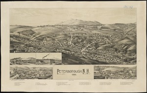
Peterborough, N.H : 1886
6332.
Peters World map
6333.
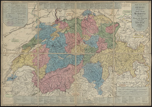
Petite carte de la Suisse pour les écoles = Karte von der Schweiz für schulen = Carta della Svizzera per le scuole
6334.
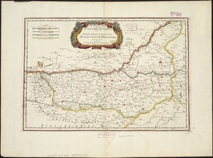
Petrocorii : Evesché de Sarlat : partie meridionale de l'eslection de Perigord
6335.
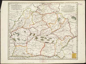
Petrocorii : Evesché de Perigord : partie septentrionale de la Seneschausée de Perigord : partie septentrionale de l'Election...
6336.
Phelps & Ensign's travellers' guide, and map of the United States, containing the roads, distances, steam boat and canal routes &c
6337.
Phelps & Ensign's travellers' guide, and map of the United States, containing the roads, distances, steam boat and canal routes &c
6338.
Phelps & Watson's new map of the United States
6339.
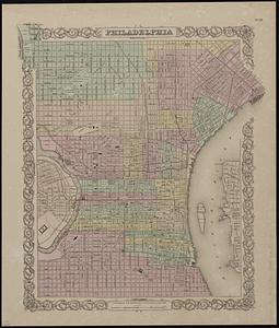
Philadelphia
6340.
Philadelphia water front, Schuylkill River, Pennsylvania
‹ Prev
Next ›
1
2
…
313
314
315
316
317
318
319
320
321
…
446
447