Toggle navigation
LMEC Home
Exhibitions
Georeferencing
Tools for Teachers
Collections
My Favorites
Sign Up / Log In
Search
Search the map portal
Map Collection
Map Collection
Map Sets
Search
Search
Search for
Search In
All Fields
Creator
Title
Subject
Place
Search All Digital Collections
Advanced Search
8951 Results
My Search
Start Over
More Like
commonwealth:m900r596w
Remove constraint More Like: commonwealth:m900r596w
Filter your Search
Place
North and Central America
6,182
United States
5,098
Massachusetts
2,174
Europe
1,396
Suffolk (county)
1,297
Boston
1,270
Canada
449
Asia
438
more
Place
»
Topic
Boston (Mass.)--Maps
753
United States--Maps
282
Real property--Massachusetts--Boston--Maps
254
City planning--Massachusetts--Boston--Maps
213
Landowners--Massachusetts--Boston--Maps
170
Massachusetts--Maps
166
Urban renewal--Massachusetts--Boston--Maps
119
New England--Maps
104
more
Topic
»
Date
Date range begin
–
Date range end
Current results range from
1482
to
2023
View distribution
Creator
United States. Hydrographic Office
595
Boston Redevelopment Authority
217
O.H. Bailey & Co
148
Des Barres, Joseph F. W. (Joseph Frederick Wallet), 1722-1824
124
United States. Post Office Dept
120
Ptolemy, 2nd cent
100
Walling, Henry Francis, 1825-1888
94
Geological Survey (U.S.)
87
more
Creator
»
Format
Maps/Atlases
8,890
Manuscripts
215
Prints
56
Books
36
Objects/Artifacts
10
Drawings/Illustrations
9
Posters
5
Georeferenced
Yes
885
No
8,066
Collection
Norman B. Leventhal Map & Education Center Collection
8,726
Boston and New England Maps
2,418
Urban Maps
2,201
Maritime Charts and Atlases
1,083
American Revolutionary War-Era Maps
642
Boston Redevelopment Authority Collection
249
Massachusetts Real Estate Atlases
38
Mapping Boston Collection
21
more
Collection
»
Available to use
No known restrictions
8,724
Creative Commons license
71
Search Constraints
Sort by relevance
relevance
title
date (asc)
date (desc)
Number of results to display per page
20 per page
10
per page
20
per page
50
per page
100
per page
View results as:
grid view
map view
Search Results
6161.
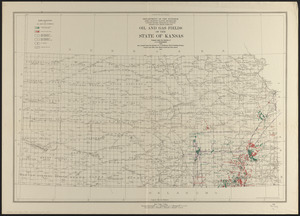
Oil and gas fields of the state of Kansas
6162.
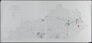
Oil and gas fields of the state of Kentucky
6163.
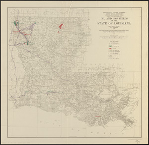
Oil and gas fields of the state of Louisiana
6164.
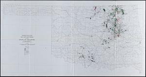
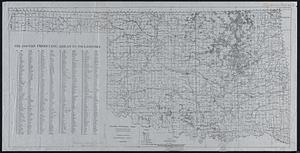
Oil and gas fields of the state of Oklahoma
6165.
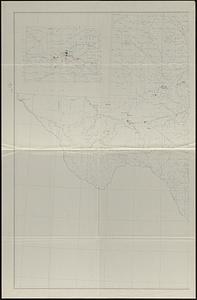
Oil and gas fields of the state of Texas
6166.
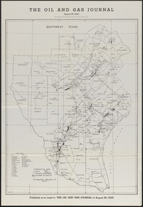
The oil and gas journal, August 29, 1935
6167.
Oil and gas producing areas in Oklahoma
6168.
Oil City oil field, Fresno Co., California
6169.
Oil in America : a pictorial story of the petroleum industry in the United States
6170.
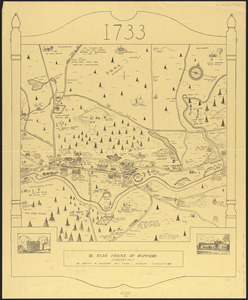
Ye olde towne of Rumford : (Concord, N.H.)
6171.
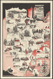
Olde York County Maine : published in commemoration of the 300th anniversary
6172.
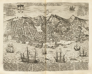
Olissippo quae nunc Lisboa ciuitas amplissima Lusi taniae, ad Tagum, toti Orientis, et multarum insularum Aphricaeque et...
6173.
Olmsted Park master plan
6174.
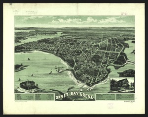
Onset Bay Grove, Wareham, Mass
6175.
Ontario 1819
6176.
Operations at Charleston : the bombardment of Fort Sumter : the actions of August 18, 19 and 20
6177.
Oppervlakte van de baaije van't eiland St. Vincent, een der Kabo-Verdse Eilanden, op 16 graaden 50 minuuten, noorderbreedte ;...
6178.
Orange Harbour, Tierra del Fuego
6179.
Orange Harbour, Tierra del Fuego
6180.
Orange, Mass
‹ Prev
Next ›
1
2
…
305
306
307
308
309
310
311
312
313
…
447
448