Toggle navigation
LMEC Home
Exhibitions
Georeferencing
Tools for Teachers
Collections
My Favorites
Sign Up / Log In
Search
Search the map portal
Map Collection
Map Collection
Map Sets
Search
Search
Search for
Search In
All Fields
Creator
Title
Subject
Place
Search All Digital Collections
Advanced Search
8873 Results
My Search
Start Over
More Like
commonwealth:js956k85m
Remove constraint More Like: commonwealth:js956k85m
Filter your Search
Place
North and Central America
6,104
United States
5,020
Massachusetts
2,139
Europe
1,396
Suffolk (county)
1,219
Boston
1,192
Canada
449
Asia
438
more
Place
»
Topic
Boston (Mass.)--Maps
752
United States--Maps
282
Real property--Massachusetts--Boston--Maps
195
City planning--Massachusetts--Boston--Maps
168
Massachusetts--Maps
166
Landowners--Massachusetts--Boston--Maps
142
New England--Maps
104
North America--Maps--Early works to 1800
103
more
Topic
»
Date
Date range begin
–
Date range end
Current results range from
1482
to
2023
View distribution
Creator
United States. Hydrographic Office
595
Boston Redevelopment Authority
171
O.H. Bailey & Co
148
Des Barres, Joseph F. W. (Joseph Frederick Wallet), 1722-1824
124
United States. Post Office Dept
120
Ptolemy, 2nd cent
100
Walling, Henry Francis, 1825-1888
94
Geological Survey (U.S.)
87
more
Creator
»
Format
Maps/Atlases
8,813
Manuscripts
215
Prints
56
Books
36
Objects/Artifacts
10
Drawings/Illustrations
8
Posters
5
Georeferenced
Yes
884
No
7,989
Collection
Norman B. Leventhal Map & Education Center Collection
8,723
Boston and New England Maps
2,369
Urban Maps
2,152
Maritime Charts and Atlases
1,083
American Revolutionary War-Era Maps
638
Boston Redevelopment Authority Collection
203
Mapping Boston Collection
20
Massachusetts Real Estate Atlases
12
more
Collection
»
Available to use
No known restrictions
8,676
Creative Commons license
70
Search Constraints
Sort by relevance
relevance
title
date (asc)
date (desc)
Number of results to display per page
20 per page
10
per page
20
per page
50
per page
100
per page
View results as:
grid view
map view
Search Results
3641.
Justus Perthes' übersichtskarte vom nordöstlichen Frankreich bis Paris &c
3642.
Kaart van Nieuw Nederland : behoorende tot de door het Provinciaal Utrechtsch genootschap bekroonde verhandeling
3643.
Kaart van Straat Magellaan, Straat Le Maire, het Vuurland en Kaap Hoorn
3644.
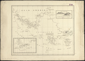
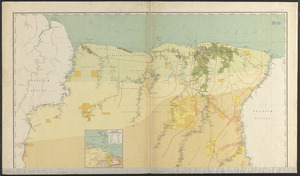
Kaart van Suriname naar de opmetingen van J.F.A. Cateau van Rosevelt en J.F.A.E. van Lansberge, aangevuld tot 1898 met die van
3645.
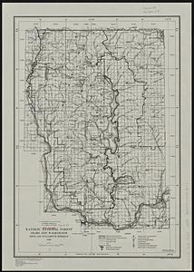
Kaniksu National Forest, Idaho and Washington
3646.
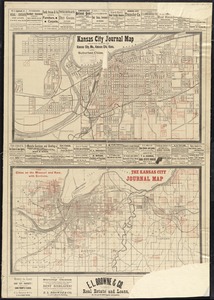
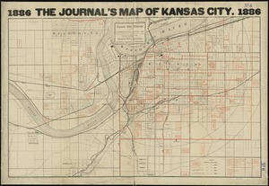
Kansas City journal map showing towns of Kansas City, Mo., Kansas City, Kans., and suburban cities ; the cities on the Missouri...
3647.
Kansas City, Missouri and its surroundings
3648.
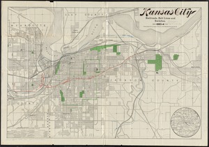
Kansas City railroads, belt line and switches : 1893-4
3649.
Kansas-Nebraska Act, May 22, 1854, Vote on passage
3650.
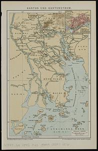
Kanton und Kantonstrom
3651.
Kapstadt und umgebung
3652.
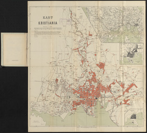
Kart over Kristiania
3653.
Karta T︠sarstva Pol'skago sluzhashchai︠a︡ k prodolzhenīi︠u︡ podrobnoĭ karty Rossīi sochinena pri sobstvennom" Ego...
3654.
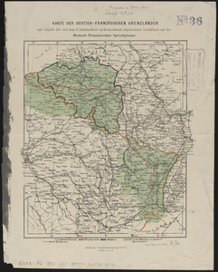
Karte der Deutsch-Französischen Grenzländer : mit angabe der seit dem 17 jahrhundert von Deutschland abgerissenen landtheile...
3655.
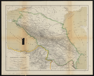
Karte der Kaukasus-Länder
3656.
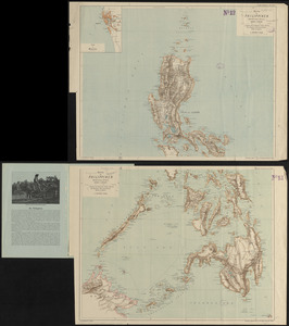
Karte der Philippinen : in zwei sectionen : nördliches und südliches blatt
3657.
Karte der Rheinlande
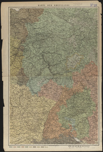
3658.
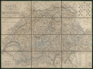
Karte der Schweiz
3659.
Karte der südlichen provinzen der Argentinischen Republik, zu seiner reise durch die La Plata-Staaten entworfen von Dr. Herm....
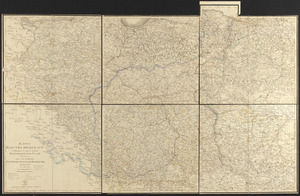
3660.
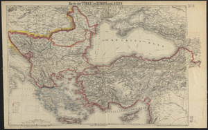
Karte der Türkei in Europa und Asien
‹ Prev
Next ›
1
2
…
179
180
181
182
183
184
185
186
187
…
443
444