Toggle navigation
LMEC Home
Exhibitions
Georeferencing
Tools for Teachers
Collections
My Favorites
Sign Up / Log In
Search
Search the map portal
Map Collection
Map Collection
Map Sets
Search
Search
Search for
Search In
All Fields
Creator
Title
Subject
Place
Search All Digital Collections
Advanced Search
8954 Results
My Search
Start Over
More Like
commonwealth:js956k49r
Remove constraint More Like: commonwealth:js956k49r
Filter your Search
Place
North and Central America
6,185
United States
5,101
Massachusetts
2,138
Europe
1,396
Suffolk (county)
1,300
Boston
1,273
Canada
449
Asia
438
more
Place
»
Topic
Boston (Mass.)--Maps
752
United States--Maps
282
Real property--Massachusetts--Boston--Maps
253
City planning--Massachusetts--Boston--Maps
218
Landowners--Massachusetts--Boston--Maps
170
Massachusetts--Maps
166
Urban renewal--Massachusetts--Boston--Maps
124
New England--Maps
104
more
Topic
»
Date
Date range begin
–
Date range end
Current results range from
1482
to
2023
View distribution
Creator
United States. Hydrographic Office
595
Boston Redevelopment Authority
222
O.H. Bailey & Co
148
Des Barres, Joseph F. W. (Joseph Frederick Wallet), 1722-1824
124
United States. Post Office Dept
120
Ptolemy, 2nd cent
100
Walling, Henry Francis, 1825-1888
94
Geological Survey (U.S.)
87
more
Creator
»
Format
Maps/Atlases
8,894
Manuscripts
215
Prints
56
Books
36
Objects/Artifacts
10
Drawings/Illustrations
8
Posters
5
Georeferenced
Yes
885
No
8,069
Collection
Norman B. Leventhal Map & Education Center Collection
8,725
Boston and New England Maps
2,424
Urban Maps
2,207
Maritime Charts and Atlases
1,083
American Revolutionary War-Era Maps
638
Boston Redevelopment Authority Collection
256
Massachusetts Real Estate Atlases
38
Mapping Boston Collection
20
more
Collection
»
Available to use
No known restrictions
8,731
Creative Commons license
70
Search Constraints
Sort by relevance
relevance
title
date (asc)
date (desc)
Number of results to display per page
20 per page
10
per page
20
per page
50
per page
100
per page
View results as:
grid view
map view
Search Results
6681.
Plan of property of the National Dock & Warehouse Co. East Boston
6682.
Plan of proposed Muddy River improvement, showing contours : July 23, 1881
6683.
Plan of Public Garden : showing proposed arrangement of lots thereon
6684.
Plan of Puerto Cavello, on the coast of the Caracas ; Plan of Puerto de La Guaira on the coast of the Caracas
6685.
A plan of Quebec
6686.
A plan of Quebec and environs, with its defences and the occasional entrenched camps of the French commanded by Marquis de...
6687.
A plan of Quebec the capital of New France or Canada
6688.
Plan of railway stations and sidings in South Africa
6689.
Plan of Reading, Mass
6690.
[Plan of residences on Park Street in Boston]
6691.
Plan of Rome
6692.
Plan of Rome
6693.
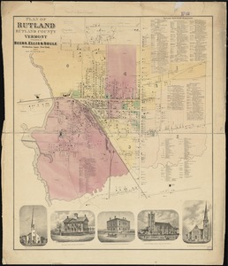
Plan of Rutland, Rutland County, Vermont
6694.
[Plan of Salem Common]
6695.
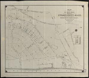
Plan of Sea Shore Estate situated in Swampscott, Mass.
6696.
[Plan of section of proposed Charles River Park]
6697.
Plan of Sesuit Harbor in East Dennis : under chapter 32 resolves of 1907
6698.
Plan of Shakspeare's birth-place
6699.
Plan of Sherburne Bluffs, Nantucket, Mass
6700.
Plan of Sorrento, Maine
‹ Prev
Next ›
1
2
…
331
332
333
334
335
336
337
338
339
…
447
448


![[Plan of residences on Park Street in Boston]](https://bpldcassets.blob.core.windows.net/derivatives/images/commonwealth:9s161h36g/image_thumbnail_300.jpg)
![[Plan of Salem Common]](https://bpldcassets.blob.core.windows.net/derivatives/images/commonwealth:9s161g70k/image_thumbnail_300.jpg)
![[Plan of section of proposed Charles River Park]](https://bpldcassets.blob.core.windows.net/derivatives/images/commonwealth:x059cc51b/image_thumbnail_300.jpg)