Search Constraints
Search Results

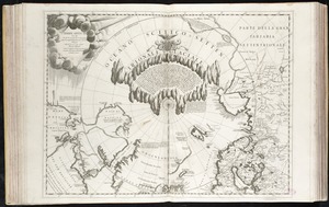
8062. Terre Artiche

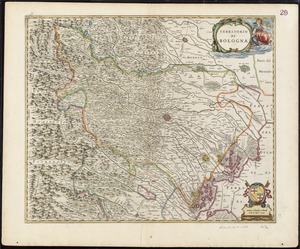
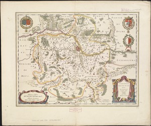
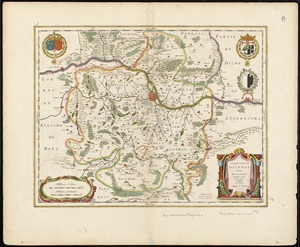
8066. Territorio di Bologna
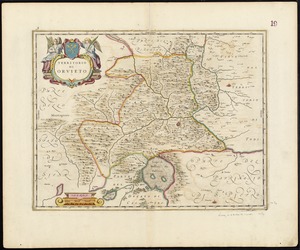
8067. Territorio di Orvieto
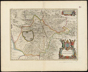
8068. Territorio Perugino
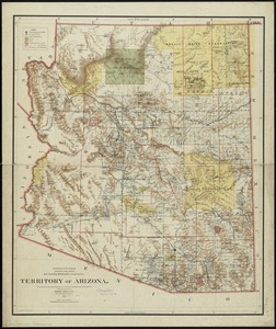
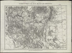
8071. Territory of Arizona
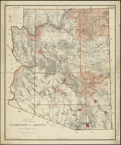
8072. Territory of Arizona
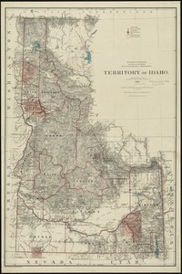
8073. Territory of Idaho
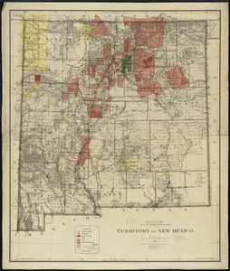
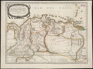
8074. Territory of New Mexico

8075. Territory of New Mexico

8076. Territory of Utah

8077. Territory of Utah


