Search Constraints
Search Results
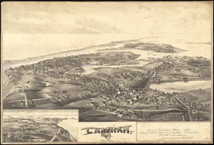
1902. Chatham, Mass

1903. Chester

1904. Chester, Mass : 1885

![[Chiapas]](https://bpldcassets.blob.core.windows.net/derivatives/images/commonwealth:4m90fj278/image_thumbnail_300.jpg)
1906. [Chiapas]

1907. Chicago

1908. Chicago


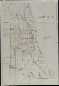
1912. Chicago's gangland


1914. Chicopee River
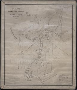
![[Chignecto Bay and vicinity]](https://bpldcassets.blob.core.windows.net/derivatives/images/commonwealth:9g54xk66m/image_thumbnail_300.jpg)

1916. Chikyū bankoku hōzu

1917. Chili

1918. Chili

1919. Chili
