Toggle navigation
LMEC Home
Exhibitions
Georeferencing
Tools for Teachers
Collections
My Favorites
Sign Up / Log In
Search
Search the map portal
Map Collection
Map Collection
Map Sets
Search
Search
Search for
Search In
All Fields
Creator
Title
Subject
Place
Search All Digital Collections
Advanced Search
100 Results
My Search
Start Over
More Like
commonwealth:j3860833m
Remove constraint More Like: commonwealth:j3860833m
Filter your Search
Place
North and Central America
52
United States
34
New England
20
Massachusetts
16
North America
12
Rhode Island
8
South America
8
America
7
more
Place
»
Topic
New England--Maps--Early works to 1800
15
America--Maps
13
World maps--Early works to 1800
13
America--Maps--Early works to 1800
9
Massachusetts--Maps
8
North America--Maps--Early works to 1800
8
Western Hemisphere--Maps
6
Western Hemisphere--Maps--Early works to 1800
6
more
Topic
»
Date
Date range begin
–
Date range end
Current results range from
1482
to
1990
View distribution
Creator
Ortelius, Abraham, 1527-1598
5
Bew, John, -1793
3
Bordon, Benedetto, 1450-1530
3
Gastaldi, Giacomo, approximately 1500-approximately 1565
3
Hondius, Jodocus, 1594 or 1595-1629
3
Lodge, John, -1796
3
Mercator, Gerhard, 1512-1594
3
Münster, Sebastian, 1489-1552
3
more
Creator
»
Format
Maps/Atlases
100
Books
1
Georeferenced
Yes
10
No
90
Collection
Sidney R. Knafel Map Collection at Phillips Academy
87
American Revolutionary War-Era Maps
26
Norman B. Leventhal Map & Education Center Collection
12
MacLean Collection Map Library
1
Available to use
No known restrictions
12
Search Constraints
Sort by relevance
relevance
title
date (asc)
date (desc)
Number of results to display per page
20 per page
10
per page
20
per page
50
per page
100
per page
View results as:
grid view
map view
Search Results
1.
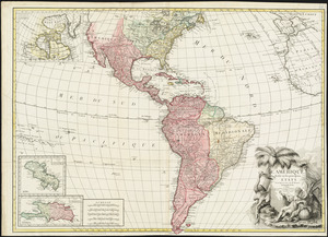
America
2.
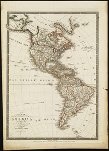
America : Nach Arrowsmith, Brué und Lapie mit Benutzung der neuesten Vermessungen
3.
America : nach Arrowsmith, Brué und Lapie mit Benutzung der neuesten-Vermessungen
4.
America, with the European Settlements, and the conquests of Cortes and Pizarro
5.
Americae siue noui orbis, noua descriptio
6.
L'Amérique divisée en ses principaux états
7.
L'Amerique divisée en tous ses pays et etats
8.
Géographie de l'Amérique
9.
Karte von America
10.
Naval chart of the Pacific and western Atlantic
11.
Now see America by Grace Line
12.
Pictorial map of the American continent : featuring the Pan American Highway and showing some of the natural resources, scenic...
13.
A two-way street between the Americas
14.
An accurate map of Rhode Island, part of Connecticut and Massachusets, shewing Admiral Arbuthnot's station in blocking up...
15.
An accurate map of the English colonies in North America, bordering on the river Ohio
16.
America
17.
America sive India Nova : ad magnae Gerardi Mercatoris aui universalis imitationem in compendium redacta
18.
America sive novvs orbis respectv Evropaeorvm inferior globi terrestris pars
19.
Americae pars Borealis, Florida, Baccalaos, Canada, Corterealis
20.
Americae siue noui orbis, noua descriptio
‹ Prev
Next ›
1
2
3
4
5