Toggle navigation
LMEC Home
Exhibitions
Georeferencing
Tools for Teachers
Collections
My Favorites
Sign Up / Log In
Search
Search the map portal
Map Collection
Map Collection
Map Sets
Search
Search
Search for
Search In
All Fields
Creator
Title
Subject
Place
Search All Digital Collections
Advanced Search
430 Results
My Search
Start Over
More Like
commonwealth:hx11z395m
Remove constraint More Like: commonwealth:hx11z395m
Filter your Search
Place
North and Central America
390
United States
261
Canada
103
Pennsylvania
46
Philadelphia
27
Philadelphia (county)
27
Essex (county)
24
Louisbourg
21
more
Place
»
Topic
United States--History--French and Indian War, 1754-1763--Maps, Manuscript--Early works to 1800
58
Pennsylvania--Maps--Early works to 1800
37
Philadelphia (Pa.)--Maps--Early works to 1800
21
Louisbourg (N.S.)--Maps, Manuscript--Early works to 1800
18
Fort Edward (N.Y.)--Maps, Manuscript--Early works to 1800
16
Fort Ticonderoga (N.Y.)--Maps, Manuscript--Early works to 1800
15
Saint Lawrence River--Maps, Manuscript--Early works to 1800
15
Louisbourg (N.S.)--History--Siege, 1745--Maps, Manuscript--Early works to 1800
14
more
Topic
»
Date
Date range begin
–
Date range end
Current results range from
1664
to
1881
View distribution
Creator
Royal United Services Institute for Defence and Security Studies
160
George, III, King of Great Britain, 1738-1820
151
George, IV, King of Great Britain, 1762-1830
150
Amherst, Jeffery Amherst, Baron, 1717-1797
128
Skinner, Monier
28
Skinner, William, 1700-1780
28
Brasier, William
16
Bastide, John Henry, approximately 1700-1770
15
more
Creator
»
Format
Maps/Atlases
413
Manuscripts
153
Drawings/Illustrations
15
Georeferenced
Yes
10
No
420
Collection
American Revolutionary War-Era Maps
403
British Library Collection
376
Boston and New England Maps
21
Norman B. Leventhal Map & Education Center Collection
18
MacLean Collection Map Library
15
Urban Maps
10
New York Public Library Collection
8
Richard H. Brown Revolutionary War Map Collection at Mount Vernon
8
more
Collection
»
Available to use
Creative Commons license
396
No known restrictions
18
Search Constraints
Sort by relevance
relevance
title
date (asc)
date (desc)
Number of results to display per page
20 per page
10
per page
20
per page
50
per page
100
per page
View results as:
grid view
map view
Search Results
1.
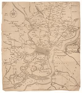
[Environs of Philadelphia]
2.
A mapp of ye improved part of Pensilvania in America, divided into countyes, townships, and lotts
3.
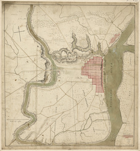
A plan of the city and environs of Philadelphia
4.
PLAN OF THE PENINSULA OF CHESOPEAK BAY
5.
Grundriss von Philadelphia der hauptstadt in Pensylvanien und umliegenden Gegend
6.
A map of Philadelphia and parts adjacent
7.
A map of Philadelphia and parts adjacent
8.
Philadelphia and neighborhood
9.
Philadelphia and vicinity. Military
10.
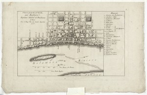
Philadelphie, par Easburn, arpenteur general de Pensilvanie
11.
A plan of the city and environs of Philadelphia
12.
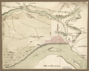
Plan of the city of Philadelphia
13.
A plan of the city of Philadelphia
14.
Plan of the city of Philadelphia and its environs shewing its defences during the years 1777 & 1778 : together with the siege...
15.
A plan of the city of Philadelphia, the capital of Pennsylvania, from an actual survey
16.
A plan of the city of Philadelphia, the capital of Pennsylvania, from an actual survey
17.
A plan of the city of Philadelphia, the capital of Pennsylvania, from an actual survey
18.
A plan of the operations of the British & Rebel army in the Campaign, 1777
19.
Theatre des operations des armees Americaine et Britanique en 1776 et 1777, depuis la Riviere de Rariton, dans le Jersey de...
20.
This plan of the city of Philadelphia and its environs, (shewing the improved parts,) is dedicated to the mayor, aldermen and...
‹ Prev
Next ›
1
2
3
4
5
…
21
22
![[Environs of Philadelphia]](https://bpldcassets.blob.core.windows.net/derivatives/images/commonwealth:7h149x76d/image_thumbnail_300.jpg)